Dense Fog Loosens Grip On South Florida
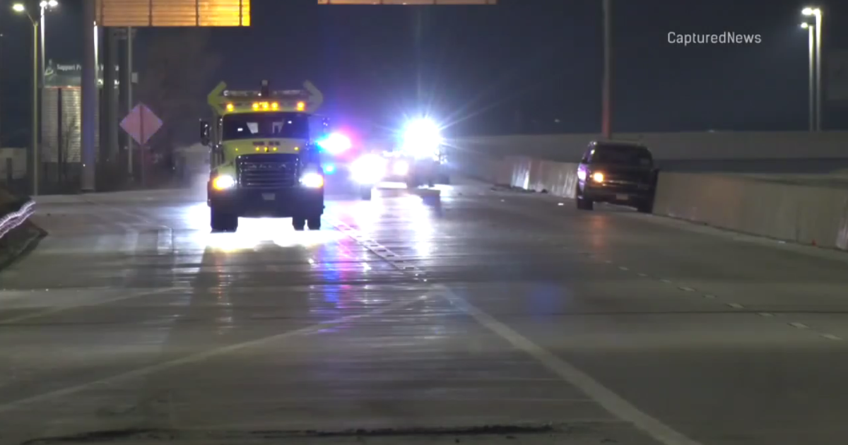
MIAMI (CBS4) -From highways to airports, the foggy start made getting around South Florida slow, and dangerous at times.
The fog cleared up as the day continued, but motorist have a tough time during the morning hours dealing with the fog. It was more bad news for airports already experiencing flight delays and cancellations due to the snowstorm that hit the southeast, CBS 4's Gwen Belton reported.
Cars and people were disappearing into the mist. Driver Aida Casalinovo said the fog was a sight to be seen.
"(It looks) like the sky is falling," she said. "It's mad foggy."
Widespread potentially dangerous dense fog developed overnight across most of South Florida due to calm to light winds and low level moisture to the south of a strong cold front which is moving across Central Florida.
A dense fog advisory was issued for all of South Florida including the Upper Keys and Key Largo Tuesday because visibility was reduced to a quarter of a mile or less in some spots. U.S. 27 from South Bay in Palm Beach County to Interstate 75 in Broward County was closed around 2:30 a.m. due to the severe limited visibility; it was re-opened to traffic around 11 a.m.
All drivers were urged to drive cautiously, use low beams and leave plenty of space between cars.
The dense fog advisory was lifted at 10:00 a.m.
Click here to see images of the fog across South Florida.
Driver Ricardo Grant also said he had a tough time getting around.
"I was surprised when I opened up the window and couldn't see through them," he said.
The low visibility gave drivers on roads and highways reason to pause.
Runways at Miami International Airport (MIA) and Fort Lauderdale International Airport were barely visible. The fog caused more cancellations after the airports were already experiencing delays due to the snowstorm moving across the Southeast.
Mark Hendersen, spokesperson for with MIA, said some flights were diverted to other unusual routes.
"LAN Airline had three diversions to Orlando and one to Freeport," he said. "That's an unusual diversion to go to Freeport that's how bad the fog was," Henderson said.
Airport officials advise travelers to call ahead for flight information.
But while the heavy fog made for tough driving conditions, some like Eddie Armstead found it amusing.
"As long as I can see, I'm okay and it's kind of cool," he says.
CBS4 meteorologist Lissette Gonzalez said as for the rest of Tuesday we will see a mix of sun and clouds this afternoon with warm highs in the low 80s.
Tuesday night a cold front associated with storm system racing up the Atlantic seaboard will make its way across the Peninsula and will slide down across our area bringing cooler air which will lead to lows in the upper 50s inland, with low 60s near the coast.
On Wednesday highs will struggle to reach the 70s in the afternoon and even colder air will settle in for the second half of the workweek as high pressure builds in and lows dip down into the 40s Wednesday night and Thursday night and as highs only remain in the 60s.


