Rare Dry Days For South Florida
MIAMI (CBSMiami) – It's rare for South Florida to see any totally dry days in a row during the wet season, but that happened Saturday and Sunday for many communities.
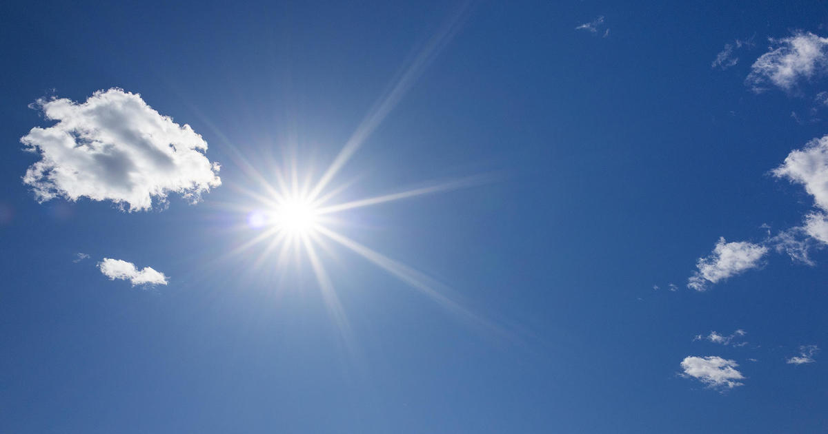
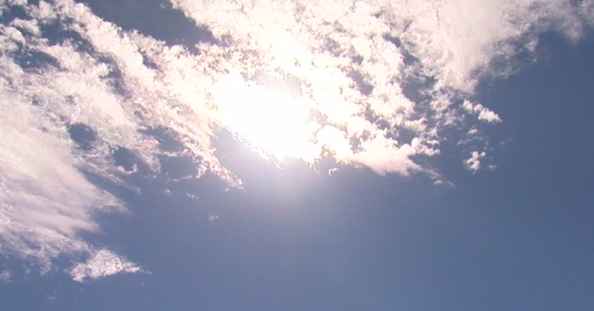
A layer of Saharan dust moved into the region all the way from the African continent. It produced a milky haze in the sky and nearly turned off the faucets over the weekend.
Only a couple of small showers showed up around the Florida Keys, Sunday.
Without heavy cloud cover during the afternoons typically associated with wet season storms, temperatures have been able to soar into the lower 90s around much of the Sunshine State. Eastern coastal communities saw temperatures near or just above 90 degrees both Saturday and Sunday.
Heat index values were in the lower 100s for interior locations.
Meteorologists expect a similar, somewhat drier, pattern with computer models picking up on only a few passing showers through the middle of the week.
The wetter pattern is expected to gradually return with much higher rain chances returning to South Florida by Thursday.
The dry weekend and possibly dry stretch of weather ahead for some areas of South Florida for the start of the workweek could be a blessing.
The Everglades are overflowing and lawnmowers have been humming all over South Florida cutting the quickly growing grass because of a wetter-than-normal pattern.
The National Weather Service said a persistent southeast to south wind flow from the tropics brought high levels of moisture to South Florida leading to episodes of very heavy rain and flooding last month.
Those episodes led to record rainfall totals for the month of July at Miami Beach and Fort Lauderdale. Miami Beach recorded 18.24 inches of rain in July and Fort Lauderdale/Hollywood International Airport recorded 15.49 inches of rain.
While the drier weekend has allowed a reprieve from the rainfall for South Florida, the easterly winds between 15 and 20 mph produced rip currents at east coast beaches.
