Storms return to South Florida late afternoon, drying trend starts Wednesday
MIAMI - After a few spotty showers in the morning, storms will retreat inland by midday with a southeasterly wind. However, South Florida won't be completely in the clear from the storms after that.
A few storms will likely migrate back toward the coast by the late afternoon and early evening time frame, so keep those umbrellas handy.
Afternoon highs will range from the upper 80s to the low 90s. Overnight lows will range from the low 70s to around 80 degrees.
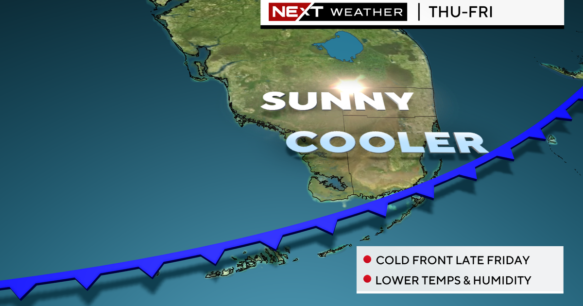
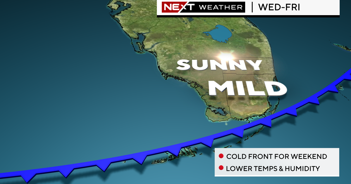
A drier weather pattern resumes beginning Wednesday and will last through the rest of the week as winds shift more out of the east. This will result in the chance for an isolated shower in the morning hours Wednesday through Friday, with all activity pushing west of South Florida by the afternoon, leaving us with dry conditions for the second half of the day.
For the Fourth of July festivities, South Florida will enjoy a mainly dry day with just the chance for an isolated shower in the morning and highs in the low 90s.
Friday through Saturday will maintain lower chances for rain before rain chances begin to creep back up Sunday into early next week.


