Satellite Images Show 7.1M Quake Opened Up A Fissure In The Earth
RIDGECREST (CNN) — The 7.1 magnitude earthquake that shook Southern California and Nevada on Friday also ripped open a fissure in the earth's surface.
When the shaking started at 8:19 p.m. Friday about 10.6 miles northeast of Ridgecrest, many scrambled for cover. It was the second strong earthquake to hit the area in less than 48 hours.
The immediate damage it caused was very clear. Stores had broken bottles and exploded cans littering their floors and other items that had been hanging on walls had toppled over.
As the sun rose the next day, it also became clear that the area's topography had changed.
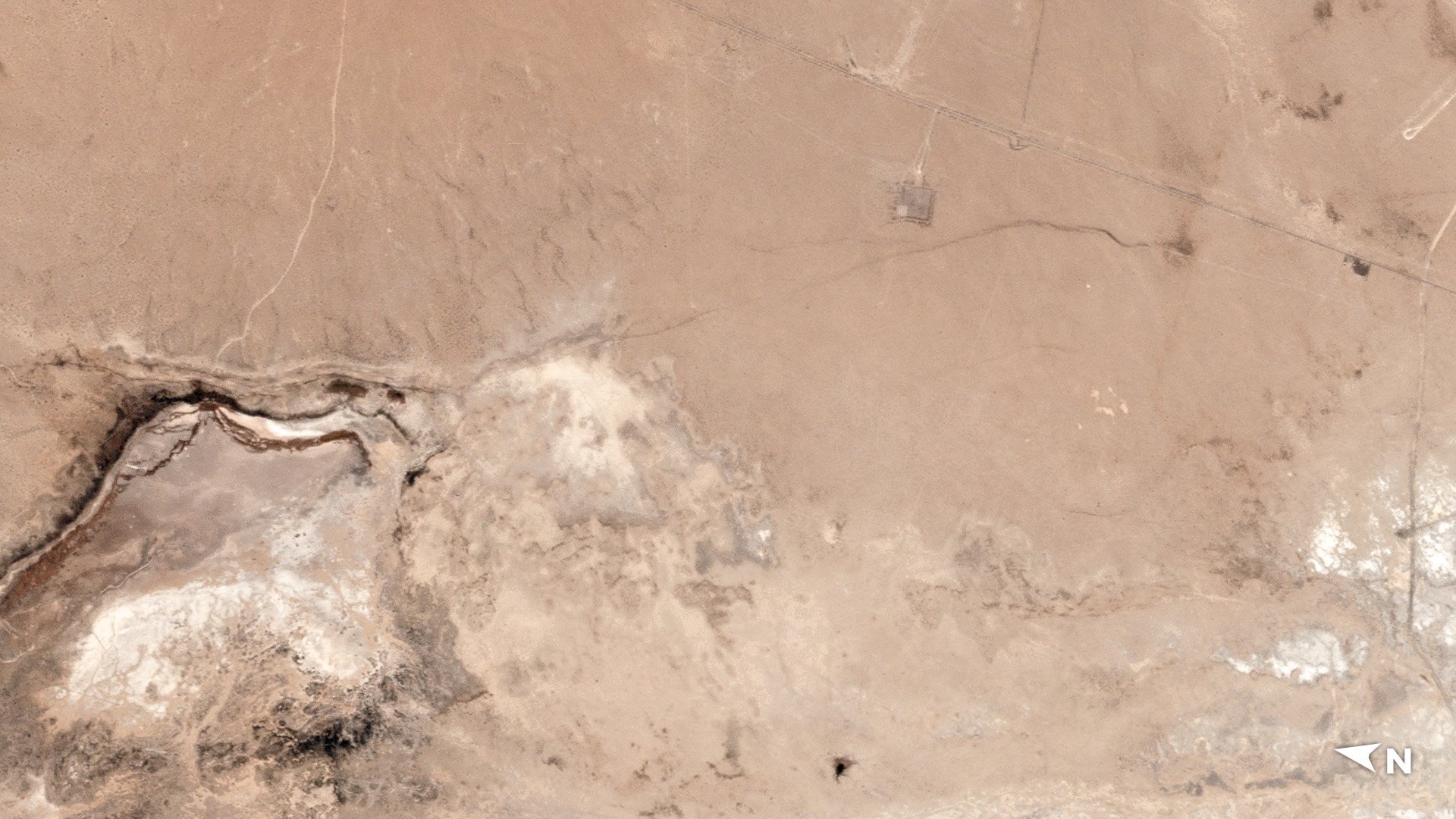
Satellite images provided to CNN by Planet Labs, Inc. show a crack has formed in the area close to the epicenter.

RELATED: Nearly A Dozen Aftershocks Of Magnitude 3 Or Higher Hit Ridgecrest Overnight
The large crack extends some distance from an area that apparently held water before. The erosion patterns on the desert sand indicate that some of that water was sucked out.
The satellite image isn't the only evidence that the region's topography was changed by the earthquake.
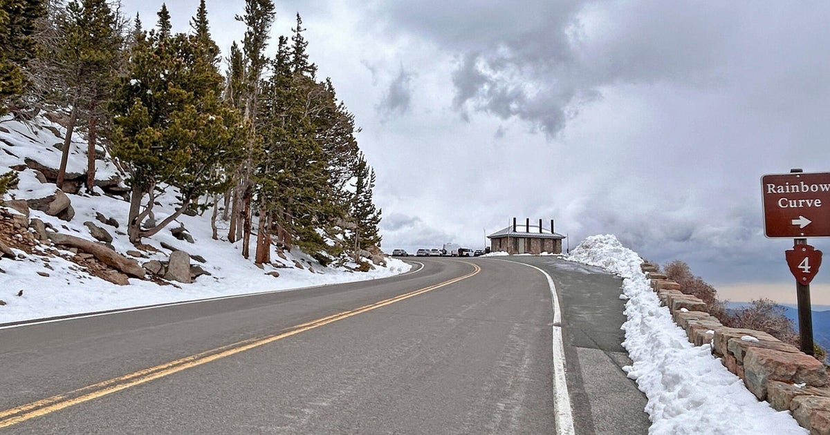
A nearby highway is now shutdown after tremors cracked and moved sections of the roadway.
The-CNN-Wire
™ & © 2019 Cable News Network, Inc., a Time Warner Company. All rights reserved.