Southland Storm Expected To Bring Heavy Rain And Snow; Mudslides And Flooding Possible
LOS ANGELES (CBSLA) – A storm moving into Southern California is expected to drop up to 1.5 inches of rain and up to a foot of snow in the mountains this weekend.
KCAL9 meteorologist Danielle Gersh said Saturday morning that an area of low pressure will mix in with a cold front, bringing heavy rain and snow to parts of the Southland through Sunday morning.
"Anywhere from half-an-inch to an inch for the coast and the valleys – up to an inch-and-a-half of rain for the mountains and the foothills," Gersh said. "Our local resorts expecting another several inches of snow, elevations above 7,000 feet could see up to a foot of snow over the next 24 hours."
A Winter Weather Advisory has been issued for the Ventura County Mountains and the Los Angeles County Mountains, excluding the Santa Monica Range, until 8 a.m. Sunday.
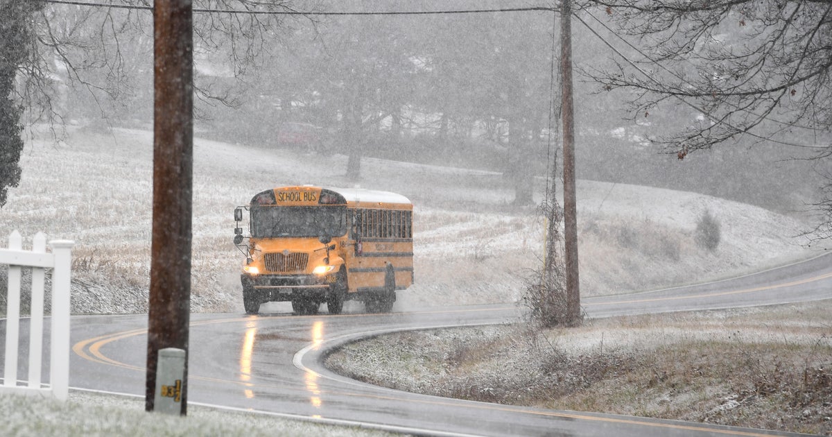
The National Weather Service is warning of fog, slippery road conditions and southwest winds of 15 to 30 mph with gusts up to 40 mph in areas – which could lead to reduced visibility.
Areas affected by the Woolsey Fire and Hill Fire were preparing for possible mudslides and flooding.
A Flash Flood Watch was issued for burn areas in Los Angeles and Ventura counties from 6 p.m. Saturday to midnight Sunday.
Burn areas are still reeling from the massive blaze that scorched nearly 97,000 acres, destroyed 1,500 structures and is blamed for three deaths.
There is a significant possibility of flash flooding and mud and debris flows in and around the burn areas covered in the watch area. In addition, roadway flooding is likely, especially in
low-lying areas, along with rock and mudslides on canyon roads and below steep terrain.
(© Copyright 2018 CBS Broadcasting Inc. All Rights Reserved. City News Service contributed to this report.)
