Bobcat Fire Passes 100,000 Acres In Second Week, Becomes One Of LA County's Largest Fires
BOBCAT FIRE EVACUATION UPDATES
LOS ANGELES (CBSLA) — Firefighters Sunday continued to battle the ever-growing Bobcat fire burning for nearly two weeks in the mountains of northeast Los Angeles.
On Saturday, winds pushed the fire toward the foothill communities in the Antelope Valley, spurring a new round of evacuations for the area south of the 138th Street East, north of Big Pines Highway and Highway 2, west of 263rd East, and east of Largo Vista Road.
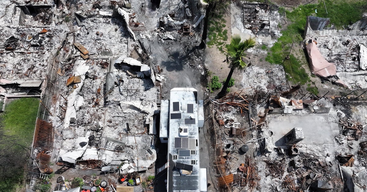
In Juniper Hills, some homes and cars were destroyed, while others have been saved. Firefighters credit the saving of homes to residents, who took the time to clear brush and debris.
The nature center at Devil's Punchbowl is among the properties that have since been destroyed by the Bobcat fire.
"That is really a testament to the residents," said Andrew Mitchell, a Bobcat fire public information officer. "What we always say, if you provide the defense, we'll provide the offense."
The fire erupted Sept. 6th near Cogswell Dam and the West Fork Day Use area. To date, it has scorched 103,135 acres and stands at 15 percent containment with full containment not expected until Oct. 30. Approximately 1,700 personnel are at the scene fighting the blaze.
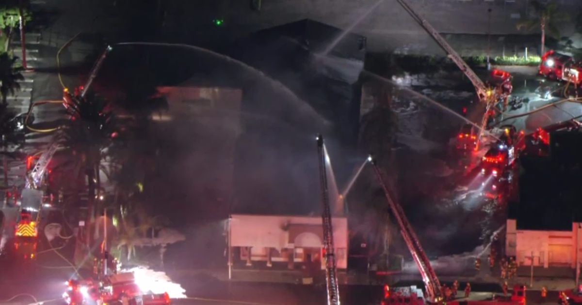
"Air attack is huge for us. When you've got terrain that is this steep and so difficult to get to some areas -- near impossible -- because it's so dangerous to have our firefighters go across that steep of terrain. Air attack is the key and it's the answer so that air attack will continue day and night until this fire is out," said Sky Cornell of L.A. County Fire.
On Sunday, evacuation warnings were lifted for Arcadia, Sierra Madre, Monrovia, Duarte, and Bradbury. Officials say firefighters had made progress on holding containment lines on the south end of the fire.
Firefighters planned to focus their concentration Sunday on the east side of the fire, which was headed toward the Wrightwood area.
Evacuation Orders
- South of 138th St East, North of Big Pines Hwy & Hwy 2, West of 263rd East, East of Largo Vista Rd.
- North of Angeles Crest North and between Clear Creek Station and Hwy 39.
- East of Devils PunchBowl Rd, South of Big Pines Hwy, North of Big Rock Creek, & West of Jackson Lake.
- Aqueduct: South of Pearblossom Hwy (SR138), North of Big Pines, East of 165th and West of Largo Vista Rd.
- Ward: North of Fort Tejon Rd, South of Avenue V, East of 87th E., West of 121 St E.
- Longview: South of Avenue 12, North of Aqueduct, West of 165 St E and East of 121 St E.
-Tejon: South of Fort Tejon Rd, North of Cooley Place, East of 89th St. E. and West of Longview Rd.
- Peach: North of Pallett Creek, South of W. 114th St., East of Longview Rd and West of 165th St.
- Cima Block: 96th east to 116th St. E/Fort Tejon Rd south to SR 2.
- Juniper Block: 116th E to Devis Punchbowl Rd / Fort Tejor Rd to SR 2.
- Punchbowl Block: Devils Punchbowl Rd to and including Fenner Camp.
- Paradise Block: Fenner Camp to intersection of SR 2 and Big Pines.
- Chilao, the CalTrans Yard, the 3 Points area and the Angeles Crest Christian Camp were all issued Evacuation Orders. Crystal Lake area remains under Evacuation Order.
Evacuation Warnings
South of Pearblossom Hwy, East and North of Angeles Forest Hwy, North and West of Mt. Emma Rd., East and South of Hwy 122, and West of Cheseboro Rd. Evacuation Warnings remain in effect for the communities of Wrightwood, Altadena and Pasadena.
A Red Cross Evacuation Center has been established at Palmdale High School, located at 2137 E Avenue R, Palmdale, 93550. The first evacuation point at Santa Anita Park is now closed and anyone still needing assistance can call the Disaster Distress Hotline at 800-675-5799. Antelope Valley Fairgrounds for large animals.
Stay up to date with evacuation information with updates from the LASD on Twitter and monitoring the incident reporting website.


