Josh Rubenstein's Weather Forecast (Nov. 21)
STUDIO CITY (CBSLA.com) — We had a little punch to the overnight system, however, it was only for a few localized communities.
For the most part the totals from this round of rain ranged from just a trace in the San Fernando Valley...to .03" to .04" elsewhere in the basin.
The foothills of the San Gabriel Valley did pick up a little more moisture...closer to .25". In fact we saw a debris flow near the Colby Fire burn area and a little hail in the Inland Empire.
As the sun comes up over the Southland we will see clearing skies aside from a few stray showers to the east and up to the north.
Snow was relatively light as well.
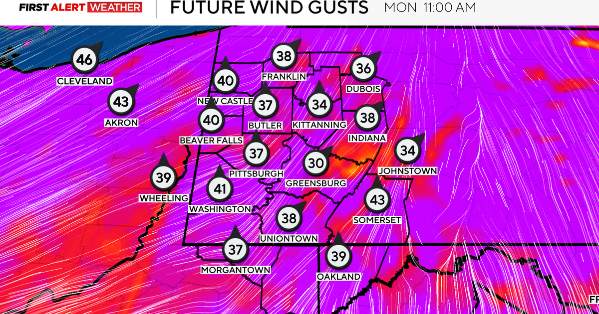
There are some gusty winds setting up behind this system and a wind advisory in place for LA and Ventura counties, mainly along the I-5 corridor.
Another wave of energy to the north will keep our temperatures in check over the weekend.
By Sunday we start to see an offshore flow set up. By Monday morning we have a Santa Ana wind event kicking in. You can expect dry, warm, and high fire danger.
We'll be into the 80s through Wednesday. Late next week it appears another system moves into the west coast. It's still a little too early to tell if this is going to be a rain maker for us.
