Hurricane Hilary: What can we expect here in Los Angeles?
Some unusual summer weather is likely to hit Southern California this weekend and early next week. The source of this weather will be what is now Hurricane Hilary, which is spinning several hundred miles off the Mexico coastline.
So, is a hurricane coming here? The short answer is no.
We are very likely not going to have a hurricane spinning over SoCal. That said, what is left of Hilary - the storm's remnants - will likely move overhead, giving us the potential for heavy tropical rains, rough surf, gusty winds, and flash flooding.
Here's what you can expect:
Rain
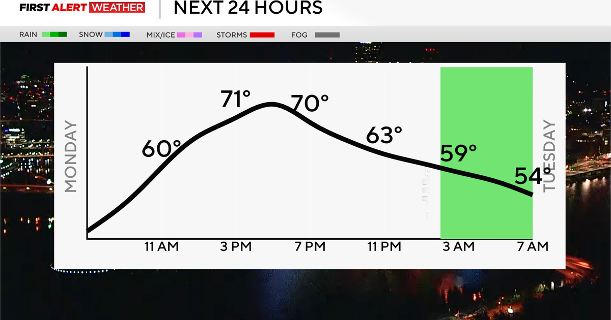
We often focus most on the wind when it comes to tropical storms and hurricanes, but these storms do far more damage with rain than wind. If Hilary continues on its current path, we will likely see widespread rain totals of 1"-2", with higher amounts inland and especially on east-facing slopes of our mountains (3"+). This is more than enough to make a mess of the Monday morning and evening commutes, and a widespread rain/thunderstorm chance may start as early as Sunday. Flash flooding will be a possibility, especially in burn-scarred areas.
Surf
The first impact from Hilary will be the significant swell the storm will send in our direction well in advance of the rain arriving. Surf will be rough starting Saturday and will likely build through the weekend. South-facing beaches and harbors will be especially prone to coastal flooding.
Wind
Even though Hilary is likely to be much weaker (and not tropical) by the time it reaches Southern California, there will still be at least some wind associated with it. Plan on breezy to windy conditions Sunday and Monday, especially in the mountains. Any areas that get thunderstorms will also receive strong wind gusts, too.
This has the potential to be a high-impact event for all of SoCal, and Monday could be one of the wettest days in Los Angeles ever in the month of August.

