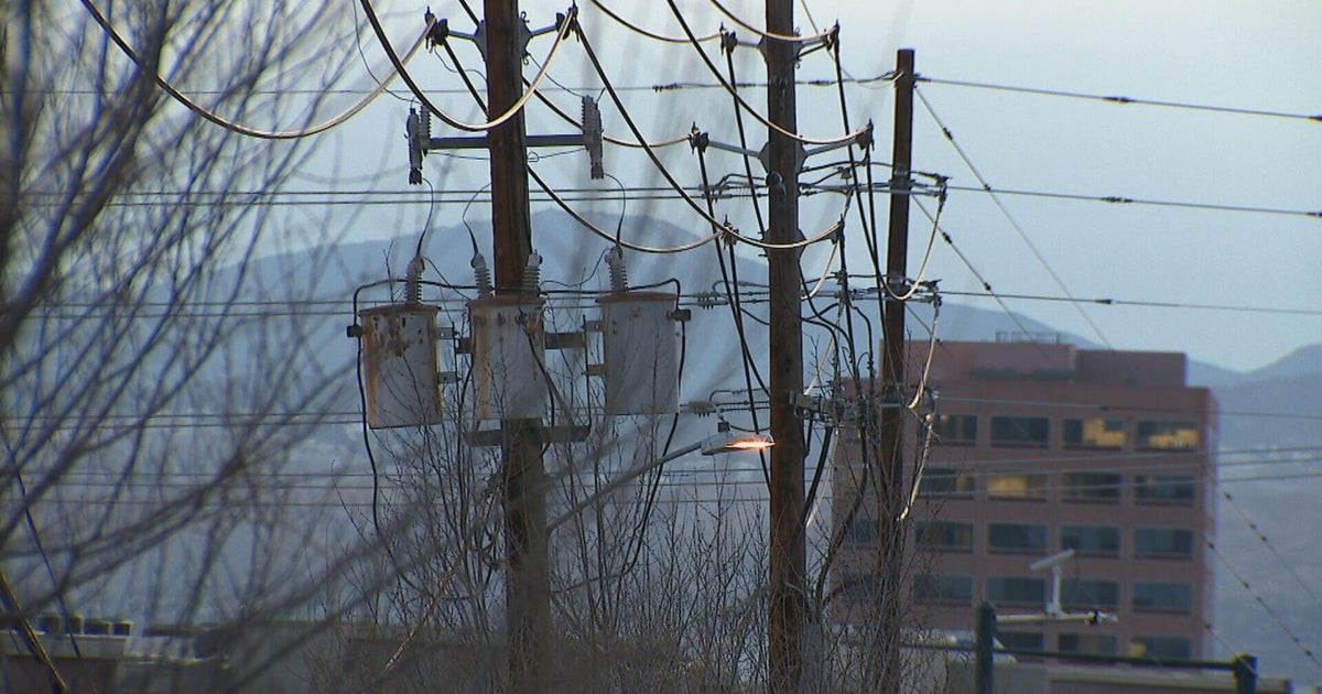
Electricity demands reach record levels due to drawn-out heat wave, another Energy Emergency Alert issued
The Southland and state avoided rolling power blackouts as the manager of the power grid called for maximum conservation efforts by residents, but more scorching temperatures are expected Wednesday and a Flex Alert was issued for the eighth day straight.
Around 1:10 p.m. Wednesday, Santa Monica College reported that all of its air-conditioning systems on the Pico Boulevard campus were down. The issue initially affected the library, but is now campus-wide.
Students on campus were being advised to check with their instructors for class details, with officials saying they were "working to resolve this issue ASAP."
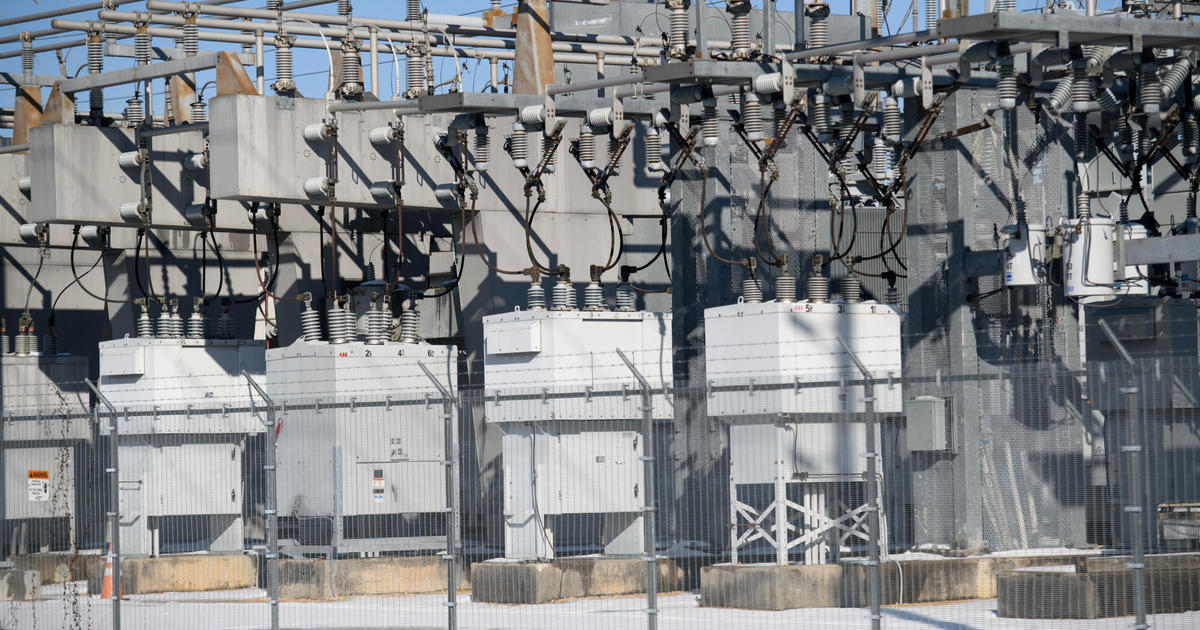
The California Independent System Operator issued an Energy Emergency Alert 2, in effect from 4 to 9 p.m. The alert by the manager of the state's power grid is a warning to utilities that all electricity resources are expected to be fully committed and some shortages are possible.
Residents are already being urged to cut their power use during those hours due to a previously declared Flex Alert, but Cal-ISO is again calling on people to step up their conservation efforts further to avoid rolling blackouts.
If energy reserves were exhausted, the Cal-ISO would have instructed utilities to manage rolling blackouts. Utilities make the determination of how best to spread and rotate the outages across their service territory, with the goal of keeping them as short as possible.
Consumer and commercial demand response, including Flex Alerts, has been helping to extend tight resources over the past week, with a load reduction of around 1,000 MW for each of the past several days.
During the Flex Alerts, residents are urged to take the following power-saving steps:
-- setting thermostats to 78 degrees or higher;
-- avoiding use of major appliances;
-- turning off unnecessary lights; and
-- avoid charging electric vehicles.
Residents were also advised to pre-cool their homes as much as possible and close blinds and drapes to keep interiors cool.
Southern California has seen temperatures soar above 100 degrees every day since last Wednesday, with little relief in sight until at least Friday.
Overnight lows are not offering much relief either, staying in the 70s and even in the low 80s in some of the hotter areas.
Record minimum temperatures were set throughout Southern California on Tuesday night. In Santa Ana, the low of 74 tied a record set in 2020. In San Diego, the low of 73 tied a record set in 1995.
Minimum record lows were set on Monday night as well. In Anaheim, the low of 78 broke a record of 75 set in 1978. In Santa Ana, the low of 75 broke a record of 74 set in 2019.
Monday's high temperatures reached 101 in downtown Los Angeles, 105 in Pasadena, 109 in North Hollywood and Santa Clarita, and 110 in Van Nuys and Lancaster.
In Orange County, Anaheim reached 98 degrees Monday and Fullerton reached 100.
Excessive heat warnings across most of the region that had been set to expire Monday or Tuesday were extended through 8 p.m. Friday for Los Angeles County beaches, the inland coastal area including downtown Los Angeles, the Santa Monica Mountains and the San Gabriel, San Fernando and Santa Clarita valleys. The warnings will be in place until 8 p.m. Thursday in the Los Angeles County mountains and Antelope Valley.
The excessive heat warning was extended until at least 8 p.m. Friday for Orange County coastal and inland areas, including valleys in San Bernardino and Riverside, and the Santa Ana mountains and foothills.
"A prolonged period of very hot conditions with minimal coastal clouds is expected through much of this week as high pressure aloft remains anchored over the West," according to the National Weather Service. "Triple- digit heat will be common for many valley and mountain locations with a very high risk of heat illness."
The last few days have seen record highs for specific dates in Long Beach, Lancaster, Palmdale and Sandberg.
"Drink plenty of fluids, stay in an air-conditioned room, stay out of the sun, and check up on relatives and neighbors," the NWS urged. "Young children and pets should never be left unattended in vehicles under any circumstances."
Cal-ISO officials said calls for conservation have paid off so far during the heat wave, with no power interruptions occurring.
The California Independent System Operator extended a Flex Alert until Tuesday, urging residents to take all possible measures to conserve electricity during the peak hours of 4-9 p.m. for the seventh consecutive day.
On Tuesday morning, Cal-ISO declared an Energy Emergency Alert 1 for the same hours, warning utilities that all electricity resources are expected to be fully committed and some shortages are possible. By early afternoon, Cal- ISO moved to Energy Emergency Alert 2, requesting all available emergency supplies to be made available to meet the demand.
And just before 6 p.m., the state moved into Energy Emergency Alert 3, calling for maximum conservation efforts while warning that blackouts could be imminent absent reduced demand.
To drive home the demand, alerts were sent to cellphones across the state urging people to "conserve energy now to protect public health and safety," and warning that "power interruptions may occur unless you take action."
"As the state faces the hottest day in this prolonged, record-breaking heat wave, grid conditions are expected to worsen," according to the power-grid manager. "If needed, ISO could order utilities to begin rotating power outages to maintain stability of the electric grid. If that occurs, consumers should expect communications -- either phone, text or email -- from their utilities notifying them of outage areas and likely durations."
Cal-ISO ended Energy Emergency Alert 3 at 8 p.m., declaring that "consumer conservation played a big part in protecting electric grid reliability."
By late Tuesday afternoon, electricity demand reached 52,061 megawatts, breaking the record of 50,270 MW set in 2006, according to Cal-ISO. Wednesday's load is forecast at 49,868 MW.
According to the NWS, a cool-down is expected by next weekend, including "a chance of showers and thunderstorms for all areas."
