Drenching rain hits SoCal as powerful storm moves in; evacuation warning issued
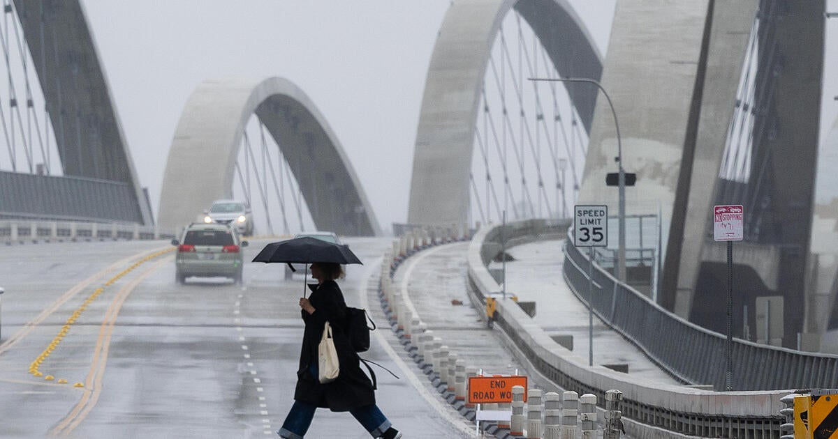
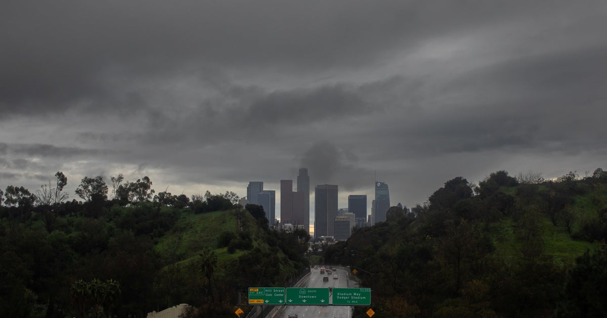
A strong storm system moved into the Southland Monday, bring pouring rain and the possibility of flooding, and forcing evacuations.
The system arrived in Ventura County a little after dawn before slowly making its way into Los Angeles County.
Mandatory evacuation orders were issued beginning at noon in Orange County's Bond Fire burn area in Silverado Canyon, Williams Canyon and Modjeska but were later downgraded to an evacuation warning.
The warning will remain in place until midnight.
The region will see on-again, off-again rain throughout the day, with heavy downpours. The coasts and valleys could see one to two inches of rain, while the foothills and mountains could see up to four inches of rain, according to the National Weather Service.
Thunder and lighting are possible Monday afternoon, along with small hail and minor flooding in burn scar areas. Monrovia city staff and L.A. County crews were monitoring problem areas in Canyon Park, Oakglade Drive and Ridgeside.
"From the Bobcat Fire, there's some areas in particular where mud and debris are susceptible to coming down the hill, so we've installed K-rails and sandbags on Ridgeside Drive and Oak Glade Drive, just as protective measures, and then mud and debris has come down in Canyon Park, so we just want to make sure nothing else gets damaged," Alex Tachiki, deputy director of Monrovia Public Works said.
There will also be gusty south winds hitting the mountains and deserts. Winds of up to 60 miles per hour are possible across the foothills of the Antelope Valley.
"We're looking at some very cold air being mixed in with all that warm, dry air we had over the weekend, so unstable conditions, can't be ruled out at all," CBSLA meteorologist Amber Lee said.
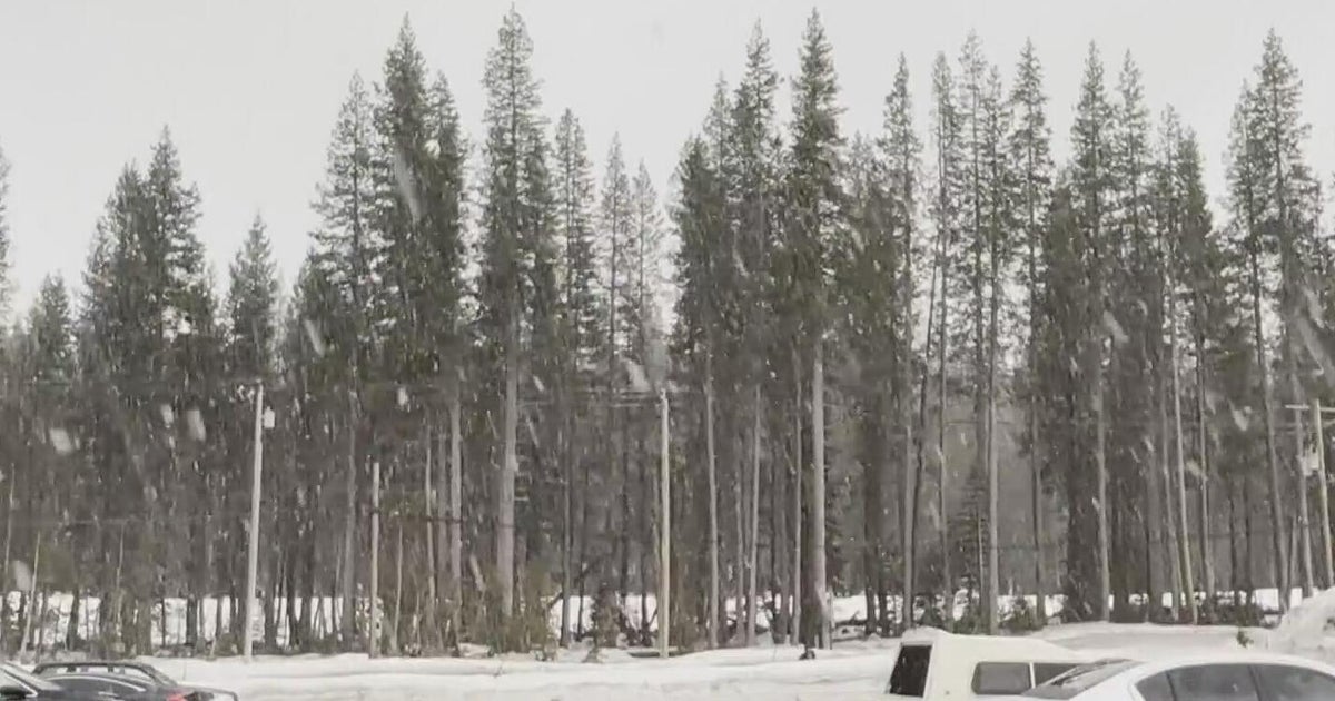
A winter storm warning is in place through 6 a.m. Tuesday for the mountains in L.A. and Ventura counties, excluding the Santa Monica range.
Snow levels of 6 to 12 feet are expected for elevations above 6,000 feet.
A flash flood watch was in place from noon Monday to 1 a.m. Tuesday for the San Bernardino County Mountains and the Santa Ana mountains and foothills, including the cities of Fullerton, Irvine, Anaheim, Mission Viejo, Big Bear Lake, Wrightwood, Running Springs.
Also at risk of flooding and mudflows were the Apple and El Dorado fire burn scars.
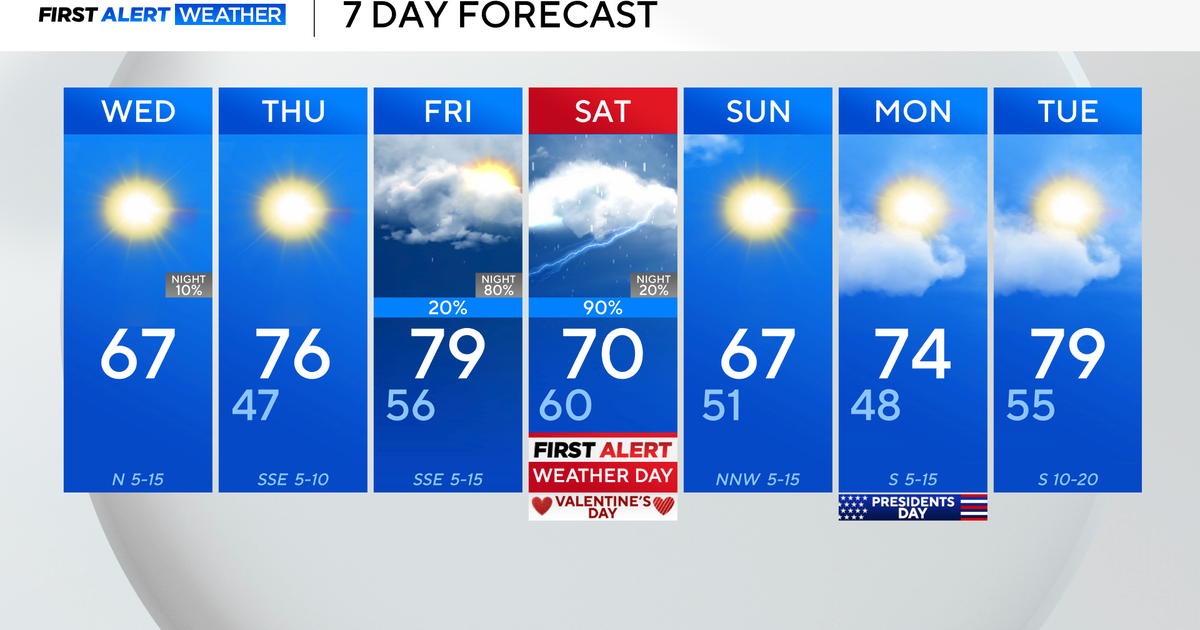
Stormy conditions are expected to clear out by late Tuesday, with temperatures again climbing by 5 to 10 degrees, according to the NWS.
