Crews make "great progress" on containment of California's Bridge Fire
For the latest development on the Bridge Fire, check here.
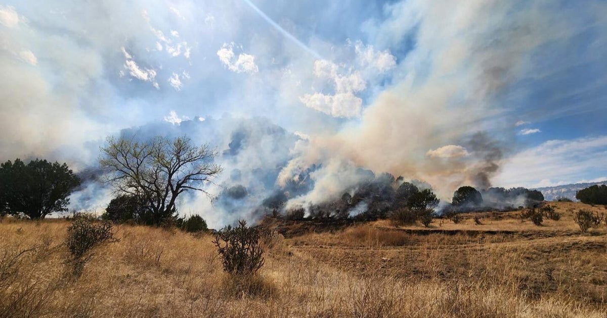
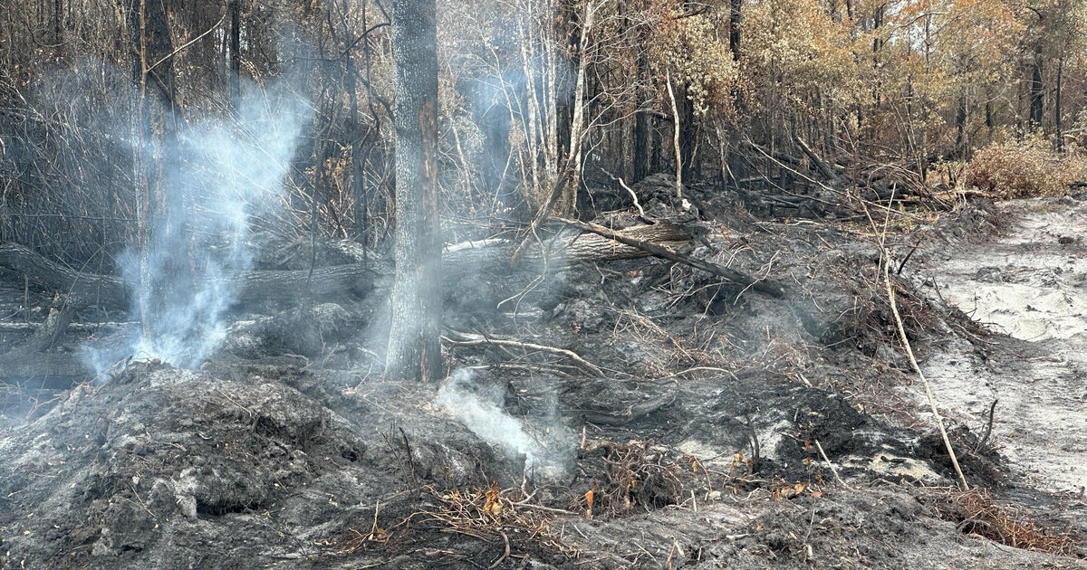
After burning more than 54,000 acres, the Bridge Fire in the San Gabriel Canyon is 59% contained Friday — with progress continuing as crews work to keep the fire within its current footprint and strengthen containment lines.
Officials said Monday evening that utility companies had restored power and water for residents in the Piñon Hills area for their safe return to their homes. By Friday, many evacuation orders and warnings had been lifted or downgraded, but some still remain in place.
The community of Wrightwood, which earlier faced mandatory evacuation orders is now under an evacuation warning. Mt. Baldy Village is also under an evacuation warning.
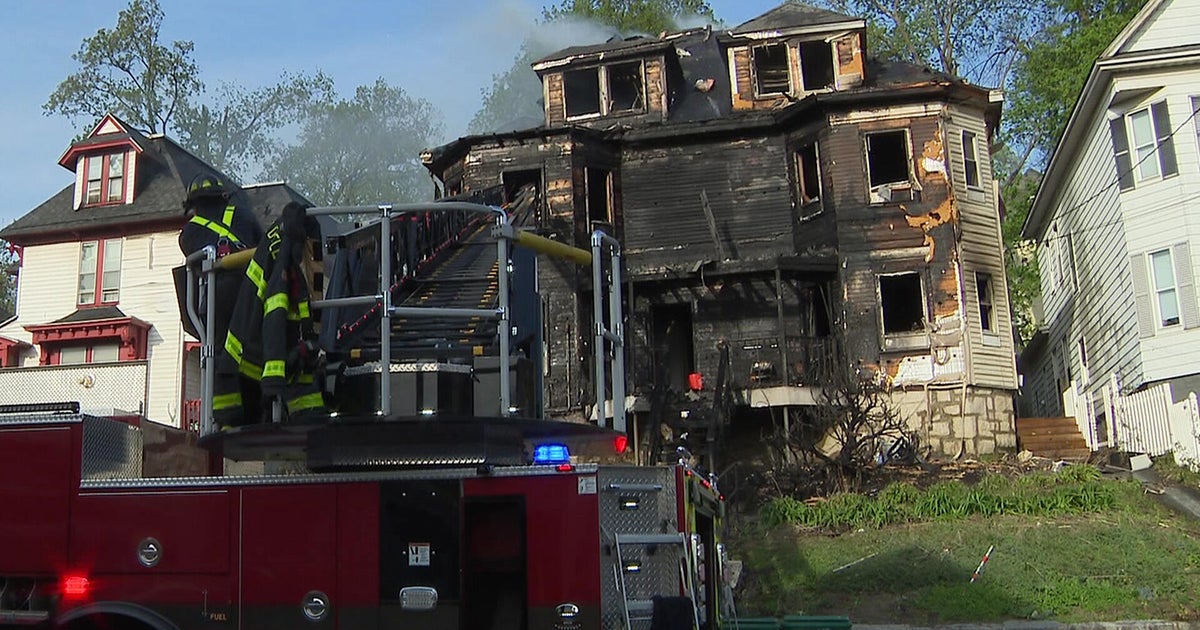
The wildfire erupted just over one week ago, spreading from Los Angeles to San Bernardino County, and destroying 49 structures, damaging 6 others, and resulting in at least two people being injured, according to the California Department of Forestry and Fire Protection (Cal Fire).
Firefighters strengthen containment lines
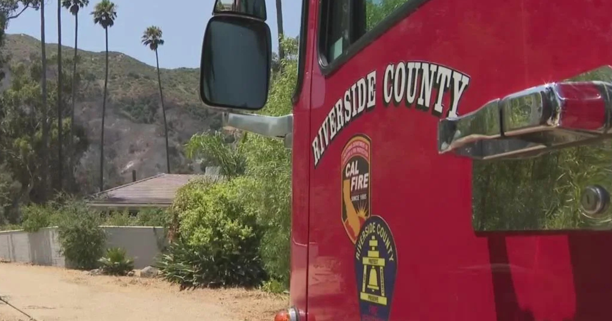
Nearly a week earlier, on Saturday, Sept. 14, firefighters continued to establish and strengthen containment lines, including in the communities of Wrightwood, Pinon Hills, and beyond. Extensive resources were assigned, including 2,625 personnel, as well as 13 helicopters, 203 engines, 21 dozers, 7 water tenders and 50 units, according to Cal Fire.
Firefighters said the northwest corner of the fire was most active Sunday. Along the northeast, the fire had reached drainages on the west side of the north fork of Lytle Creek. The fire was less active on the east side, though it was still presenting a risk to Mt. Baldy residents. Along the south side, Cal Fire said firefighters were still holding their containment line at Sunset Peak area.
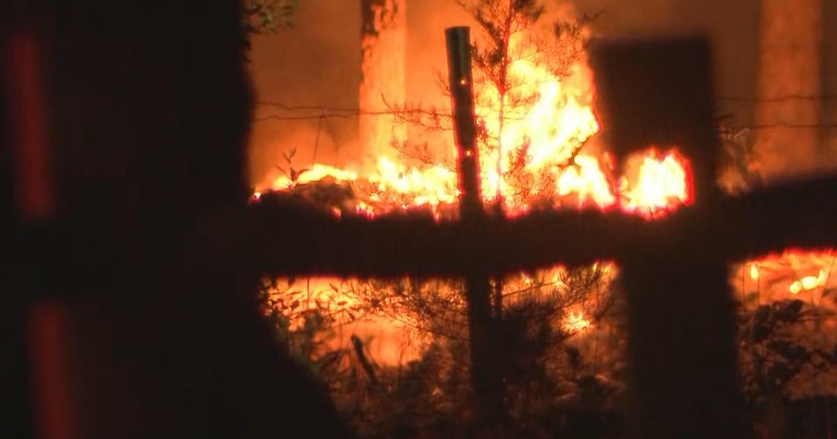
Fire experiences "explosive" growth over 7-day period
The blaze was first reported around 3 p.m. on Sept. 8, near East Fork Road and Glendora Mountain Road in the San Gabriel Canyon area in Los Angeles County. It continued to chew through the Angeles National Forest, nearly growing tenfold within a few hours on Sept. 10. That afternoon, Cal Fire mapped the fire at about 4,000 acres. Within a few hours, they updated the size to 34,247 acres before it grew to 48,000 acres by the following morning.
By Friday, Sept. 20, the wildfire continues to threaten about 4,440 structures, after previously threatening more than 11,000 structures, according to Cal Fire.
It is the largest active fire in the state of California and fire officials say there is still a threat as things can quickly change despite the drop in temperatures.
Evacuation orders and warnings remain in place
In Los Angeles County, evacuation orders remain in place for the East Fork communities, including Camp Williams Resort (café, mobile home park, campground), and the nearby River Community. Meanwhile, some places previously facing mandatory evacuations were placed under voluntary evacuation warnings by Friday such as the community of Wrightwood and Mt. Baldy Village.
For a complete list of the latest mandatory evacuations, warnings and road closures, click here.
Several evacuation shelters remain available to residents and pets
An evacuation shelter at the San Bernardino County Fairgrounds (Building 6) remains open.
Animal evacuation shelters have also been established. Small animals may be taken to the Lancaster Animal Care Center and Palmdale Animal Care Center, while large animals may be taken to the San Bernardino County Fairgrounds and Devore Animal Shelter, which is accepting both small and large animals.
Below is an interactive map outlining all of the evacuation orders and warnings.