Waterspouts likely this weekend on the Great Lakes
(CBS DETROIT) - September has arrived, and with it, the perfect fuel for waterspouts on the Great Lakes.
September is the most active month for waterspouts as weather conditions are set up in some of the best ways, mainly cooler air moving over warmer lakes.
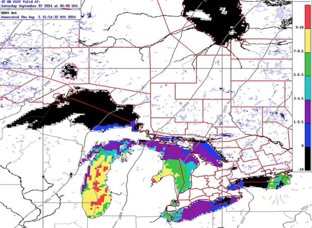
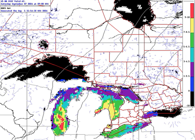
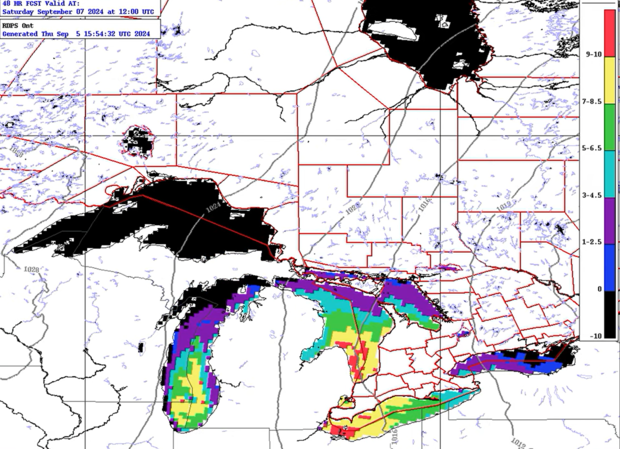
Model data provided to us by the International Centre for Waterspout Research shows higher risks on Lake Michigan ramping up late Friday.
Throughout the day Saturday, our risk continues on Lake Michigan and expands into Lake Huron and Lake Erie.
Lake St. Clair also has a slightly higher chance of activity if the right setup occurs.
Waterspouts come in two main forms: non-tornadic, which is what we usually think of, and tornadic, which is a tornadic thunderstorm creating a tornado over water.
A waterspout forms as cooler air moves over warmer waters.
Greater risk exists on the Great Lakes, especially when a cold front or another weather boundary (lake breeze, etc.) is in motion through the area.
The convergence of this warm and cool air, along with a front bringing a shift in wind direction, all lead to this higher potential.
As warm air rises into the cool air, that interaction can begin to rotate.
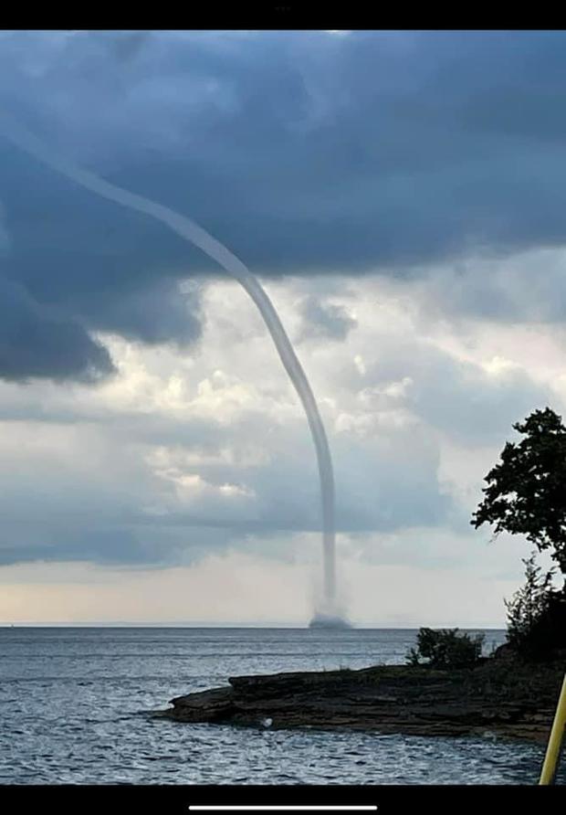
Over water, this creates a translucent funnel called a waterspout.
Dominant low-pressure moving overhead also increases these factors and can enhance waterspout risks on the lakes, which is something meteorologists are monitoring for this weekend.
Anyone wishing to go out on a boat this weekend should monitor conditions closely, as waterspouts pose the greatest risk to those on the water.
You can also track the latest beach hazard conditions.
