What is a snow squall? Winter blast could bring up to 3 inches to parts of Detroit area.
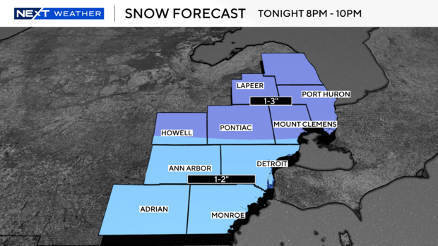
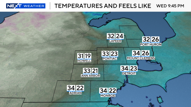
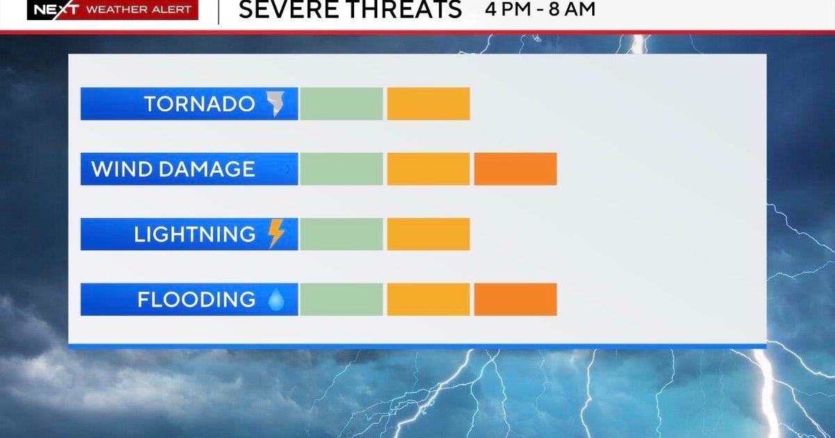
(CBS DETROIT) — A fast-moving low-pressure system is expected to bring strong winds and cold air, along with some accumulating snow for the middle of the week. CBS Detroit's meteorological team is currently tracking a possible snow squall.
A snow squall is an intense period of moderate to heavy snowfall with a limited duration — usually 30 to 60 minutes — accompanied by gusty winds resulting in blowing snow, reducing visibility and causing whiteout conditions.
Snow squalls are often associated with cold fronts, like the one moving through Wednesday evening.
The sudden whiteout conditions, combined with falling temperatures, can produce icy roads in just minutes. Squalls can occur where there is no large-scale winter storm in progress and might only produce minor accumulations or an inch or two in a short period of time.
Snow squall warnings are short-fused and focused on distinct areas (like tornado and severe thunderstorm warnings). If snow squalls are in the forecast be sure you have a have a way to get updated information.
How to stay safe on the road in a snow squall
If a snow squall warning is issued for your area, avoid or delay motor travel. There truly is no safe place on the highway during a snow squall.
If you are already in transit and cannot exit the road, reduce your speed, turn on your headlights and hazard lights and allow plenty of distance between you and the car in front of you.
Do not to slam on your brakes. With slick and icy roads and reduced visibility, this could contribute to the loss of control of your vehicle and also increase the risk of a chain reaction crash.

