Michigan Hot Next Week, But Others Worse
 AccuWeather.com reports a heat wave set to broil portions of the South, Midwest and Plains next week will reach the East but may be interrupted by periodic thunderstorms.
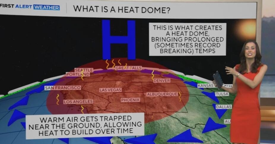
Temperatures will surge well into the 90s to near 100 degrees next week over the middle and southern portions of the nation as a large area of hot air forms at most levels of the atmosphere over the lower Mississippi Valley and expands eastward. This system, known as an "upper-level ridge of high pressure" to meteorologists will shove the jet stream well to the north over the Plains. The jet stream typically defines the edge of hot air and cool air.
Cities set to bake and broil in the summer swelter for days include Atlanta, Birmingham, Charlotte, Cincinnati, Columbia, Dallas, Jackson, Little Rock, Louisville, Memphis, Nashville, Oklahoma City, Shreveport and St. Louis.
The massive area of heat will first build over the southern Plains and lower Mississippi Valley during the first few days of next week, then it will expand northward into the Ohio Valley, southern Appalachians and the southern Atlantic Seaboard as the week progresses.
Since the core of the heat will be centered farther south and west, compared to the heat wave that began around Independence Day, fringe areas from the Upper Midwest to the northern mid-Atlantic and all of New England may escape the worst of it.
Near the rim of the heat in these areas, groups of thunderstorms will ride southeastward along the jet stream keeping the heat from extreme levels on a consistent basis. Some areas in the pathway of the thunderstorms could actually receive a lot of rain in this pattern over a five- to seven-day period.
It is for this reason that AccuWeather.com meteorologists are not convinced of a "long-term, widespread" drought beginning in the East at this time.
This is not to say that cities such as Chicago, Detroit, Pittsburgh, New York, Philadelphia, Washington, D.C., and Boston cannot catch a few days of mid- to upper 90s, but it probably will not run for three to five days in a row.
These areas are more likely to have a hot day, then cooling thunderstorms the next day, then a hot day, etc. It could turn out that the storms visit some areas on a daily basis, preventing 90-degree heat whatsoever. This is most likely from the northern Great Lakes to upstate New York and New England.
Even farther south, since the air will be more humid with this heat wave, there are bound to be random, pop-up thunderstorms affecting a small fraction of the sea of hot air on a daily basis.
Heat wave or not, many areas from the Plains to the East Coast will continue to experience temperatures running well above normal through July, a trend which began early in the spring.
In addition, in portions of the Plains and Midwest, where the ground is still fairly wet, you won't see the 100-degree readings right off the bat. However, that will change as the sun broils away the moisture from the ground. Some crops may become stressed in this area as a result of the heat and drying soil.
It is possible, well beyond next week, that the core of the heat manages to shift farther east and north, bringing back the 95- to 100-degree temperatures on a daily basis to the mid-Atlantic and parts of southern New England. Time will tell, but that does not appear to be the case just yet.
By Alex Sosnowski, Senior Expert Meteorologist for AccuWeather.com
Get the latest from Accuweather now at this link.


