Freezing Rain, Flooding, Snow, Sleet Expected Saturday
DETROIT (WWJ) - Metro Detroit could see some dangerous winter weather this weekend.
A Winter Storm Watch has been posted, in effect Saturday afternoon through Sunday morning. Freezing rain is expected along with wet snow and sleet.
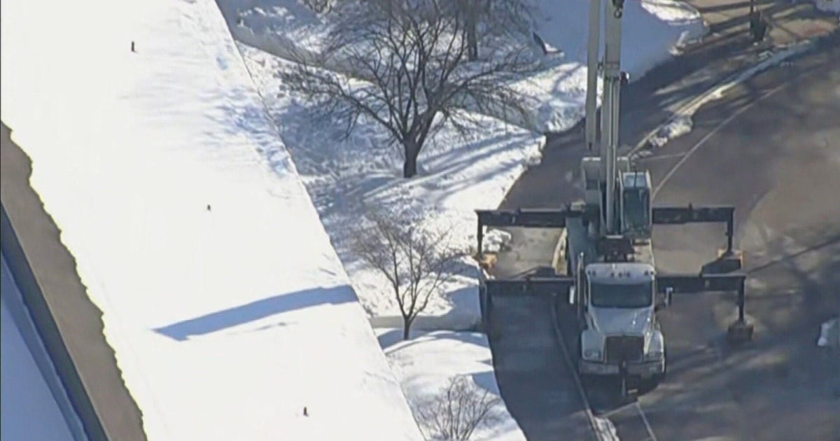
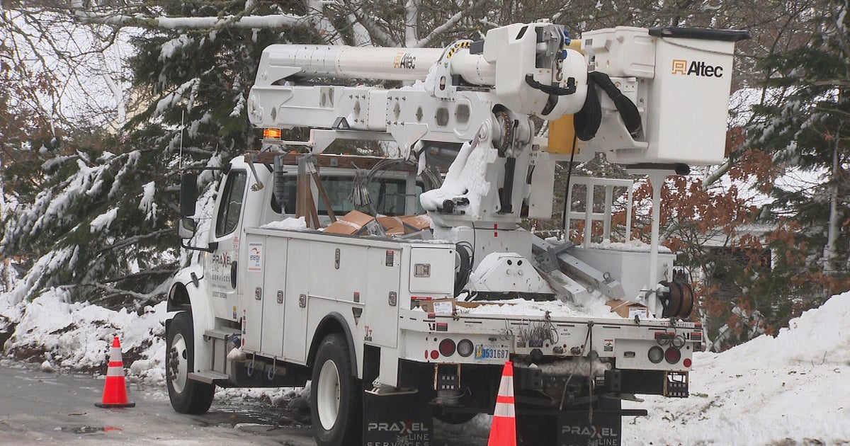
The National Weather Service says ice accumulations could cause power lines and tree limbs to snap and leading to power outages.
In addition, a Flood Watch has been posted — in effect beginning Saturday morning through Sunday afternoon — for Wayne, Monroe and Lenawee counties. The National Weather Service says heavy rain along with snow melt could cause creeks and rivers to flood.
"It's the whole ball of wax this weekend, unfortunately," said AccuWeather Meteorologist John Feerick. "There are going to be icy patches to the north and west (of Metro Detroit) ... Icing will gradually inch closer to Metro Detroit Saturday night."
According to AccuWeather, much of the nation is bracing for some sort of severe weather, just in time for one of the busiest travel weekends of the year.
Freezing rain, then 6 inches of snow, is possible in the northern Plains; torrential rains are expected in the Appalachian region; weekend thunderstorms in the South could spawn twisters. [More here].
Here's the forecast from the CBS Detroit Weather Team:
FRIDAY NIGHT– Areas of fog with light rain this evening. Low 33F. Winds light and variable. Chance of rain 60%.
SATURDAY – Rain showers in the morning. Then a wintry mix in the afternoon. Winds NNE at 5 to 10 mph. Temps nearly steady in the low to mid 30s. Overnight low of 32F. Snow and ice accumulating 1 to 3 inches.
SUNDAY – A mix of wintry precipitation in the morning. Then mainly cloudy in the afternoon. Winds SSW at 10 to 20 mph. High around 40F, overnight low of 25F. Chance of precipitation 50%.
MONDAY – Intervals of clouds and sunshine during the day. High 26F. Winds W at 10 to 15 mph. Scattered snow flurries and snow showers before midnight. Becoming partly cloudy later. Low 13F. Winds WNW at 10 to 15 mph. Chance of snow 30%. Snow accumulations less than one inch.
[Check the extended forecast and live radar HERE].
Know before you go: Keep it tuned to WWJ Newsradio 950 for traffic and weather, every 10 minutes on the 8s.
Sign up for severe weather text alerts: Text STORM to 95001
For daily weather forecast text alerts: Text FORECAST to 95001