'Enhanced' Potential For Tornadoes, Golf Ball-Sized Hail, Flash Flooding As Storms Strike Metro Detroit Monday
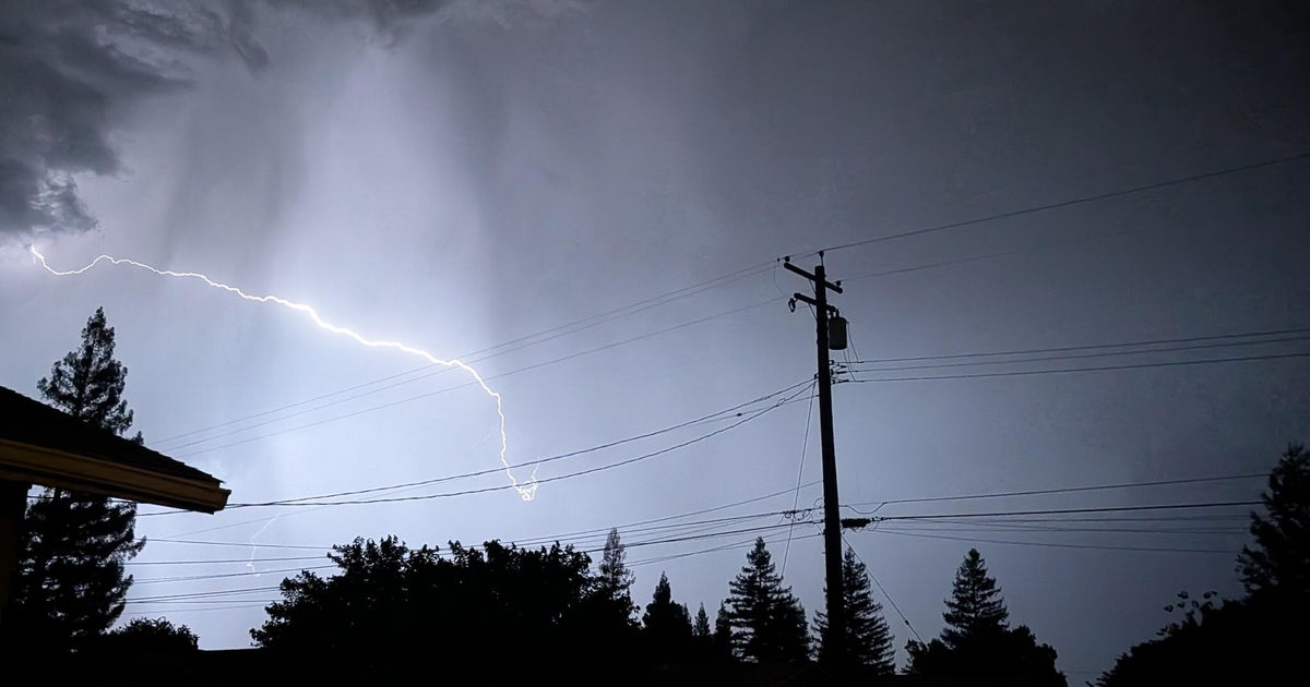
DETROIT (CBS Detroit) - Following a wave of severe weather Monday afternoon, more storms capable of intense, damaging winds, strong tornadoes, very large hail and flooding are possible into the night.
As the first front moved westward across the state, MLive Meteorologist Mark Torregrossa witnessed what he said appeared to be a tornado touchdown in Portland, Michigan.
Torregrossa said he and his team, chasing the storm, saw the funnel cloud form south of I-96.
"The main drag in Portland was hit," Torregrossa said, speaking live on WWJ Newsradio 950. "The Goodwill — a real big building — the roof is entirely gone off of the Goodwill...There's a Rite Aid across the street and that had would I would call some moderate wall damage on one side."
"There was a building just to the north of that; it looked like an older building...pretty much the roof was taken right off of it," Torregrossa said. "And what looked like an abandoned truck trailer, in one of those older building's parking lots, was flipped over on its side."
Torregrossa said local roads were closed and traffic in the area was a mess. No serious injuries or fatalities were immediately reported. [More on damage in Portland, HERE].
Before 5 p.m., about 2,000 homes and and business were without power in southeast Michigan — with the largest outages in Ypsilanti, Plymouth and Harper Woods. [Check the DTE Energy outage map for estimated restoration times].
There were reports of numerous trees and half-inch hail in the Chelsea in Washtenaw County.
A Severe Thunderstorm Watch for the afternoon was canceled shortly after 5 p.m., but CBS 62 Chief Meteorologist Jim Madaus said the storm was coming in two waves — the second more powerful.
"The second wave would be most dangerous for tornadoes," Madaus said, "with gusts up to 70 miles per hour and golf ball-sized hail."
Golf ball-sized? Really?
"Well, I've reported it many, many times...and I haven't seen it, but it's definitely possible tonight," Madaus said.
Madaus said — although strong storms are possible throughout the Midwest Monday — southeast Michigan sits in what's called an enhanced area (that orange shading seen on the map above), "which means you pretty much know something's going to happen."
Madaus said it's not often that we seen this "enhanced" rating.
"...Keep your eye on the sky. We should definitely be prepared for some very strong storms that could produce tornadoes," he said. "This is basically what you would call a significant severe weather episode, It has the potential to be one of the stronger storms we've seen in a while."
Madaus said metro Detroit won't be out of the woods when it comes to these storms until after midnight.
According to the NWS the area of Southeast Michigan most at risk tornado for activity north of the M-59 corridor. Flash flooding is possible across the area.
Meantime, the big show is still scheduled to go on over the Detroit River, with the annual Ford Fireworks moved up an hour due to the weather — now set for 9:06 p.m. In the event of a cancellation, the rain date for the event would be Tuesday. [2015 Detroit Fireworks Guide].
Don't get taken by surprise. Keep it tuned to WWJ Newsradio 950 for the latest forecast during traffic and weather, every 10 minutes on the 8s; and keep your TV tuned to CBS 62 for real-time alerts across your screen. Get complete weather information, including live radar now, HERE.
Sign up for severe weather text alerts: Text STORM to 95001
For daily weather forecast text alerts: Text FORECAST to 95001

