Wyoming experiences 4 land spouts, possible tornadoes in 9 days
The National Weather Service's Cheyenne office is investigating a pair of possible tornadoes which were reported by rural residents on Saturday.
The two formed near the towns of Esterbrook (southeast of Douglas) and Bushnell, Nebraka (immediately east of the Wyoming-Nebraska state line along Interstate 80) late Saturday afternoon.

Two earlier land spouts were confirmed by the NWS in the Wyoming's largest cities. One made a very public appearance in Cheyenne on May 24. Another stirred the skies above Laramie on May 18.

A spokesman for NWS Cheyenne said the office has received no reports of damage regarding any of the four events, and such stormy behavior isn't uncommon considering the time of year.
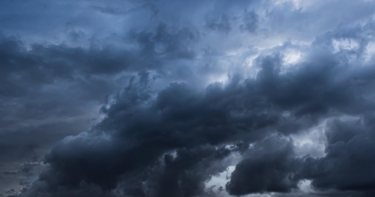
"We definitely have an active pattern going on," NWS Meteorologist Matthews Brothers said. "Late May, early June is peak season for severe storms. If we were talking about this happening in October, I would say that's an anomaly."
NWS investigators have yet to visit the sites of Saturday's two events, Brothers said. He added that there was considerable wind shear potential in the atmosphere Saturday. Brothers also described the Esterbrook phenomenon as a possible mesocyclone tornado and one in Bushnell probably a QLCS (quasi-linear convective system) tornado, based solely on data and radar observation.
Don't worry. We had to look those words up, too.
Hence, links: QLCS and mesocyclone.
Final determinations by the NWS investigators of Saturday's phenomena won't be published until later this week.

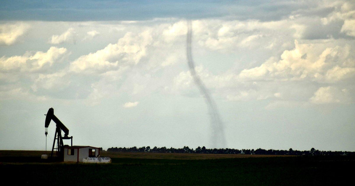
Though often similar in appearance, a land spout differs from a tornado in its point of origin. A tornado emerges from atmospheric conditions in a storm cloud while a land spout develops rotation out of ground-level winds and works its way upward to the clouds, according to NWS. Land spouts are most often less severe and shorter lived, but are still capable of causing injury and damage.

City-wide tornado warning sirens were activated during the Laramie land spout, NWS Cheyenne explained in an online report, due to the strength of its winds and its duration. That was not the case with the Cheyenne land spout.
"By the time we observed the (Cheyenne) landspout, it was already dissipating," NWS stated. "Therefore, we concluded that there was no longer a threat to life and property and decided that a tornado warning would only scare people unnecessarily."
F.E. Warren Air Force Base in Cheyenne did activate its sirens, to complicate matters. But the base "has different critieria," as NWS stated.