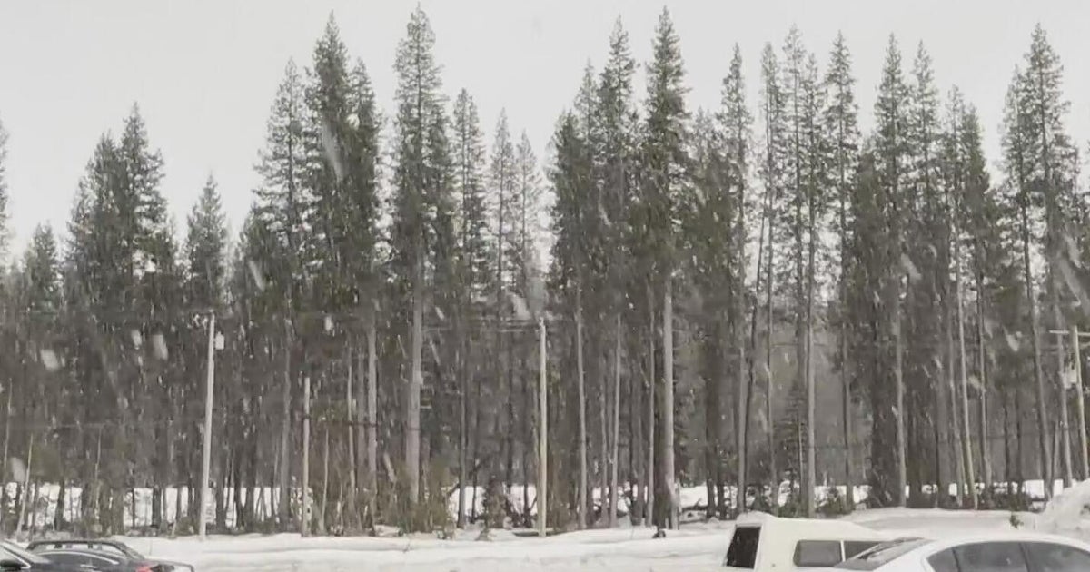
Denver Weather: Why The Morning Blast Of Snow Was So Heavy
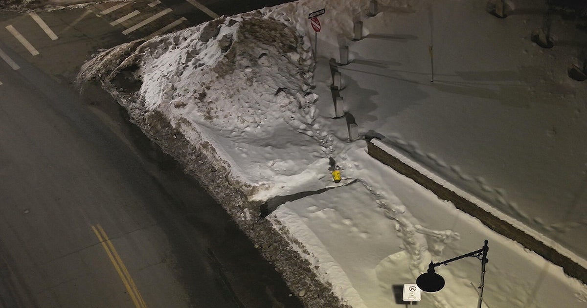
DENVER (CBS4) - Monday's snowstorm turned out to really do a number on the morning commute. The storm developed into a stronger snow maker than any of the widely used forecast models indicated to forecasters.
The reason why the storm continued to dump anywhere from 4 to 11 inches of snow across the Denver metro area was all the direction of the up-slope.
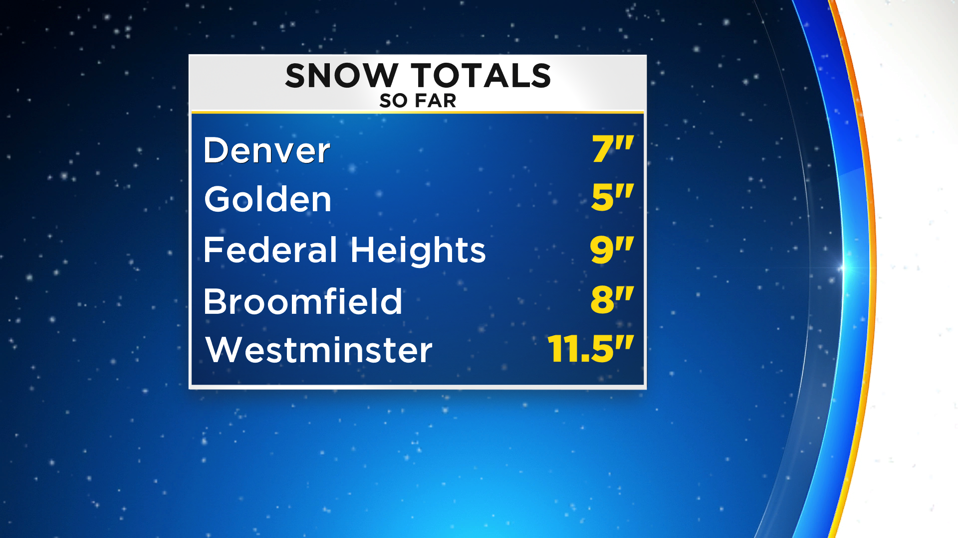
Meteorologist Dave Aguilera says "we apologize if you got caught in the traffic delays this morning. But, at the time of the forecast all of the widely used forecast models did not indicate the higher totals."
Here is the reason why so much snow covered the Denver metro area in-particular.
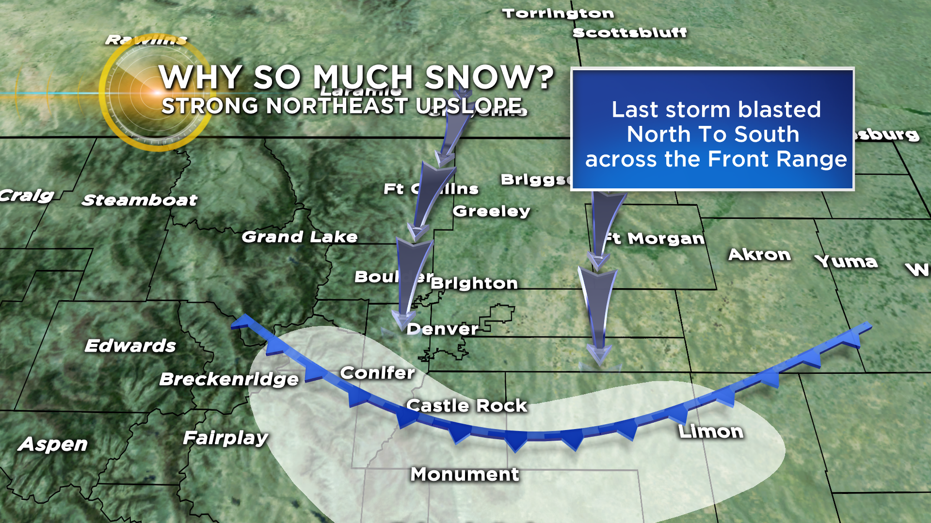
The last few snow storms that blasted through the state had a northerly flow. This is a good up-slope for areas along the Palmer Divide. Places like Highlands Ranch out to Aurora and south to Monument and the Black Forest are in this area. Those places received lots of snow from the last few bouts of winter weather.
Monday mornings snow was a little different. The blast of cold air is connected to the southwest fringe of the big Polar Vortex cool down in the Mid-west. As a result the air backed into the region from the east-northeast right into the northern foothills and mountains. Since these features are much higher than the Palmer Divide the up-slope flow locked in and lasted for the entire morning. Not just a few hours.
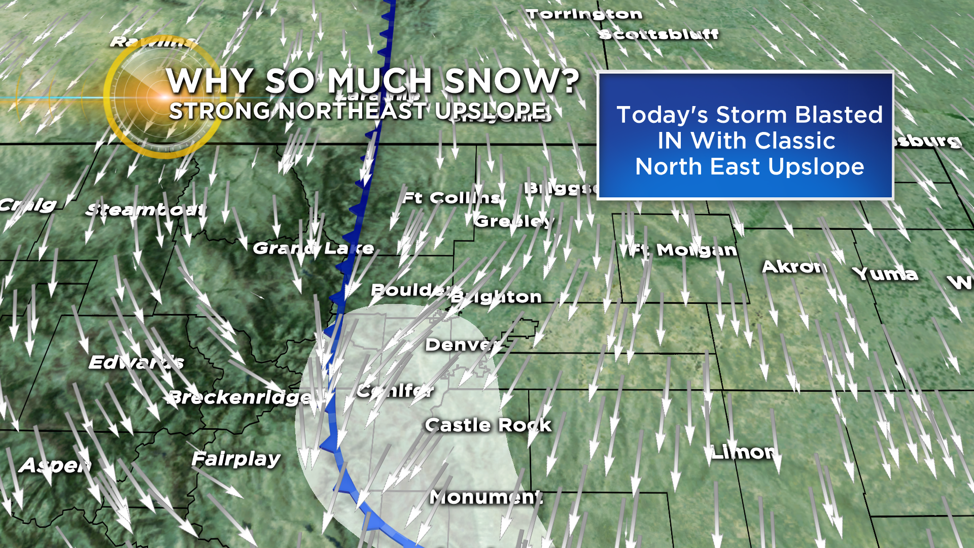
The result, much higher snow amounts.
