Summer Snow In The Colorado Mountains, Coolest Weather In Months For Denver
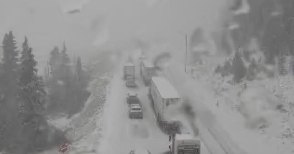
DENVER (CBS4) - One of the first genuine cold fronts of the season moved over Colorado Sunday night causing up to 2 inches of snow in the higher mountains. Denver has been mainly dry but much cooler.
The most significant reports of snow accumulation came from nearly 12,000 feet at the Alpine Visitor Center at Rocky Mountain National Park where 1-2 inches was reported Monday morning. Snow falling above 10,000 feet is not unusual in September but accumulating snow sometimes waits until October.
It was enough snow for park officials to temporarily close Trail Ridge Road so crews could clear the snow and ice. It's likely the road will reopen soon.
Elsewhere there was at least a dusting of snow at many ski areas including Steamboat and Winter Park.
The snow stake at the Loveland Ski Area showed about 1/4 inch of snow Monday morning which was one of the first measurable snowfalls of the season.
More importantly for Loveland and another ski areas hoping to open in October, temperatures were cold enough (and humidity was low enough) to make snow Monday morning. The same should be true for Monday night in Tuesday morning and Tuesday night into Wednesday morning.
High temperatures across most of Colorado on Monday will be 15-20 degrees cooler compared to the weekend. That means the Denver metro area will mostly stay in the 60s for the coolest day since Memorial Day weekend.
Tuesday morning will likely bring the coolest weather so far this season to many areas around Colorado. It was 46 degrees last Friday morning in Denver but Tuesday morning should be at least a few degrees cooler with a low temperature around 42 degrees.
Despite the cold front, the first freeze of the season is not in the forecast this week for Denver. On average the first freeze occurs in the first or second week of October.
Instead, a big warming trend will start Wednesday afternoon with above normal temperatures expected for at least 5-7 days.


