Winter Weather Advisory issued for the Denver metro area, heaviest snow stays further south in Colorado
A winter storm moving into Colorado on Tuesday will bring significant snow to parts of the state including along the Palmer Divide. The heaviest snow in the Denver area will be in the southern foothills and for areas south and of C-470 and E-470.
A First Alert Weather Day will start Tuesday evening and continue through Wednesday afternoon.
Because the center of the storm will stay far away from the Denver metro area, most locations below 6,000 feet will be spared from the heaviest snow. For example, areas around Denver, Lakewood, Littleton, Centennial, Aurora, Commerce City, Arvada, and Broomfield will get 3-6 inches of fluffy snow. The Boulder area may get slightly more while northern Colorado including Fort Collins, Loveland, and Greeley will get under 3 inches.
Locations above 6,000 feet southwest, south, and southeast of Denver will get the most snow from this storm. The Highway 285 corridor above Morrison, the I-70 corridor above Genesee, and I-25 south of Lincoln Avenue in Lone Tree will get 5-10 inches of snow. The I-70 corridor on the Eastern Plains mainly east of Bennett will also get up to 10 inches of snow.
The higher snow amounts will cause difficult driving conditions and certain roads like I-70 on the plains or I-25 over Monument Hill may be forced to close at some point. Regardless, everyone should be for slick roads and slow travel on Wednesday.
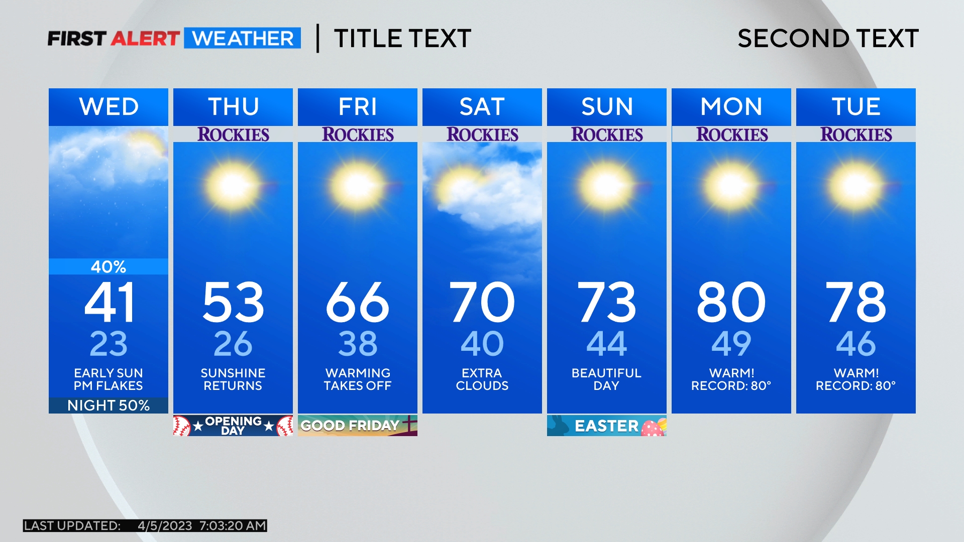
Temperatures will also turn much colder starting Tuesday night with low temperatures in the teens followed by high temperatures no higher than the lower 20s during the day on Wednesday.
Gusty winds up to 45 mph at times will make it feel even colder Tuesday night and Wednesday. The wind will decrease Wednesday night and as skies clear with fresh snow on the ground, Thursday morning will be very cold. Most areas including Denver will drop into the single digits. Then a warming trend will start heading into the holiday weekend.
