Severe thunderstorms expected to develop Friday afternoon
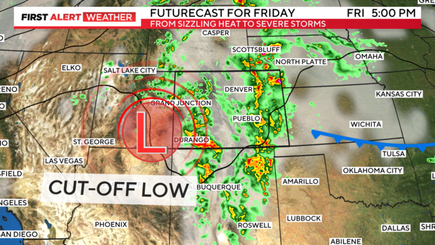
Friday is a First Alert Weather Day for the Denver metro area and all of Eastern Colorado. Expect less heat but, a much bigger threat of severe thunderstorms developing by afternoon and evening. We have a small storm system heading for the central Rockies from the southwest area of the country.
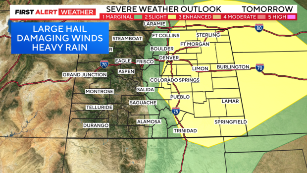
This should time out with the heat of the day to create a potent chance for severe storms to develop from the mountains to the plains. There is a small, marginal risk in the Front Range mountains and foothills for storms with large hail, damaging winds and flooding rains.
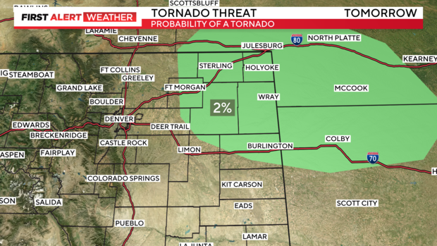
The risk is greater along the I-25 corridor out across all of the state's eastern half. It is only a slight risk but, at this point many of the storms that do develop may have sever potential. There is also, a small probability for isolated tornadoes from Denver into the northeastern corner of the state.
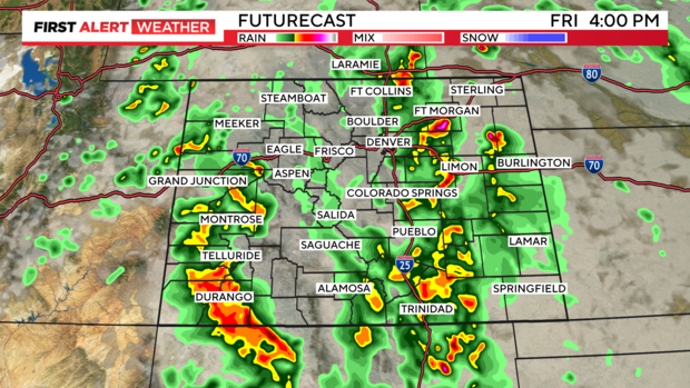
Storms over the mountains should start firing up right around lunchtime with bigger boomers over the Denver metro area beginning between 2pm and 3pm continuing into the evening.
The big change will also bring less hot high temperatures for most of the state.
