Record-breaking cold Wednesday morning, with more snow arriving in Colorado Thursday night

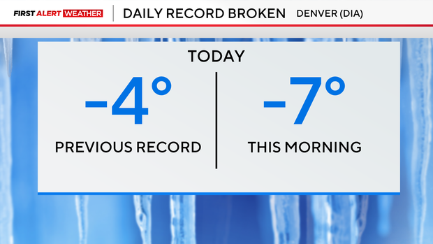
Dangerously cold conditions as temperatures hit 7 degrees below zero at Denver International Airport on Wednesday morning, setting a new daily record. The previous record low temperature was -4 degrees, set in 2006.
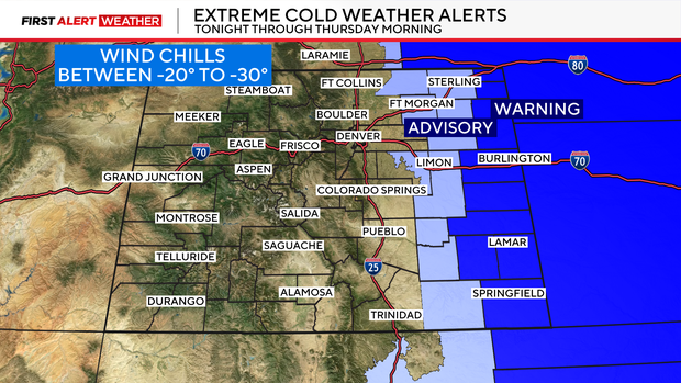
A First Alert Weather Day is posted for Wednesday for extreme cold and snow over eastern Colorado as Arctic air continues to pour across the Eastern Plains. All of eastern Colorado temperatures in the single digits and below zero. But, the dangerous part of our current pattern is the dangerous wind chill temperatures.
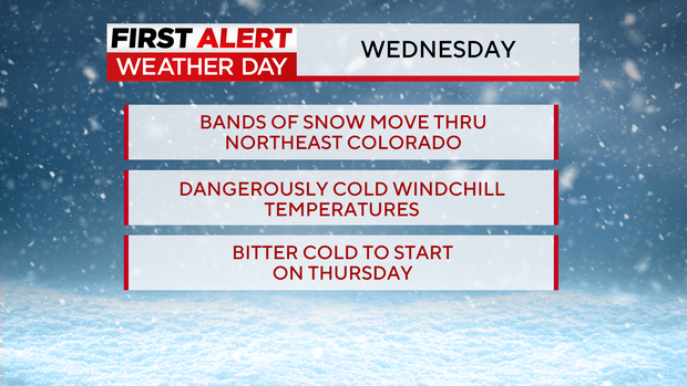
In and around the Denver metro area feels like temperatures on the bare skin could reach 10 to 15 below zero on Wednesday morning. Farther east the chills will be even colder than that. There is a Extreme Cold Weather warning for a large part of the eastern plains for wind chill temps to drop between 20 to even 30 below zero through Thursday morning.
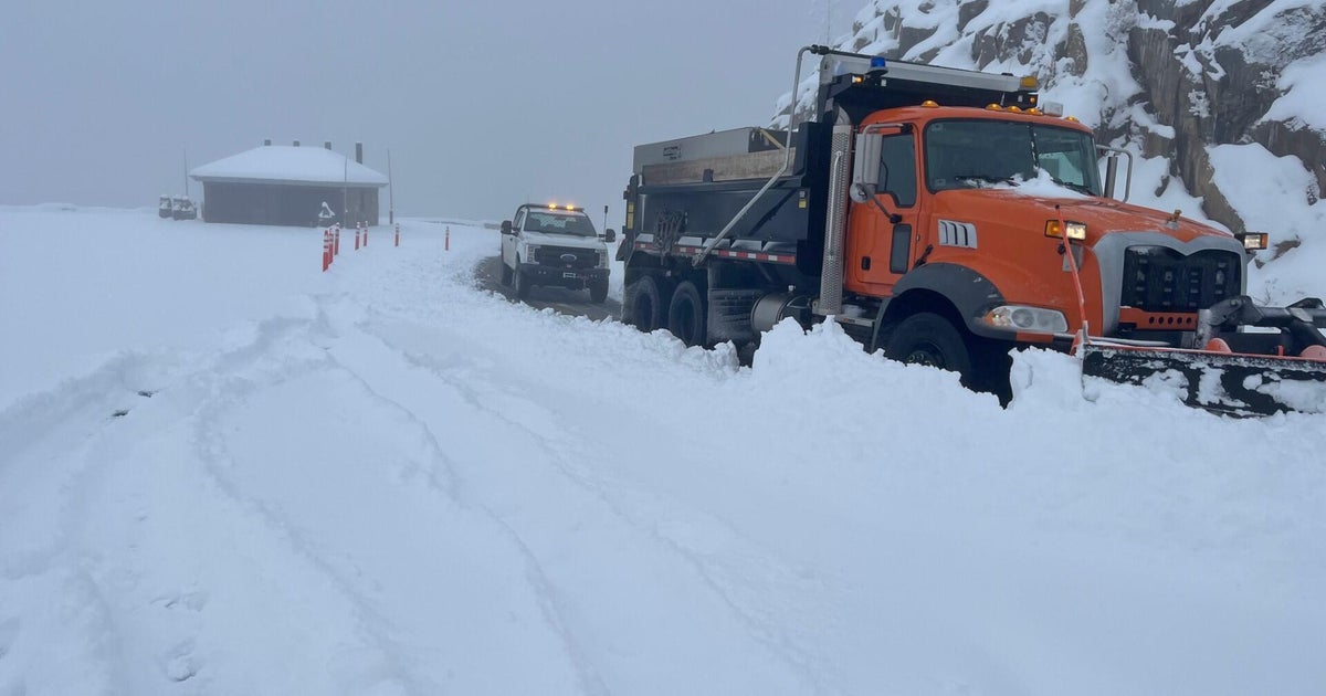
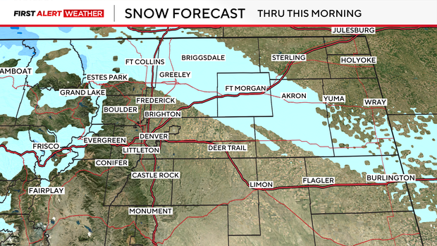
Light snow showers are expected for the northern plains this morning while mountain snow will linger through the day.
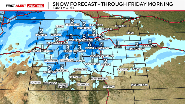
Another round of snow arrives Thursday night into Friday morning. 1 to 4 inches of snow accumulation is possible for the Denver metro area by Friday morning. Areas south and west of Denver could see up to 6 inches of accumulation. Expect a slow commute on Friday morning due to slick road conditions.
A change arrives for the weekend, as a ridge of high pressure will dominate our weather bringing daytime highs into the 50s and 60s.