NCAR Fire Weather Forecast: Warm, Windy And Dry Monday Ahead Of Rain And Snow Late Tuesday
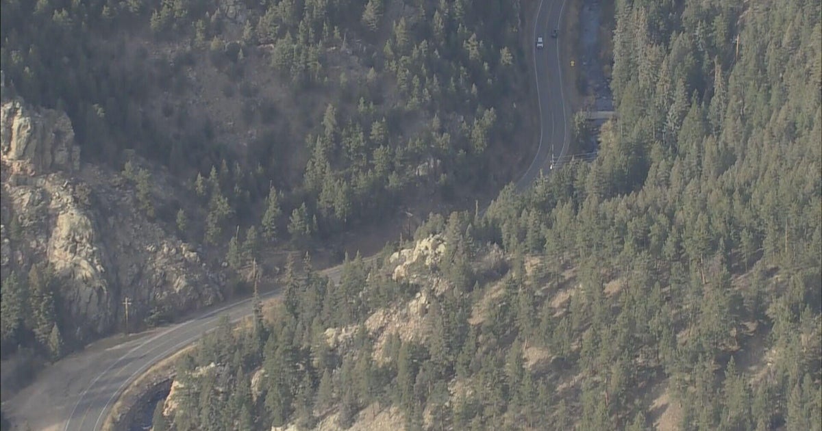
DENVER (CBS4) - Mother Nature gave a huge helping hand to firefighters at the NCAR fire near Boulder on Sunday. The morning started off with thick cloud cover that persisted through the afternoon. The deck of clouds kept temperatures as much as 15 to 20 degrees cooler than expected.
Don't let your guard down with regard to the NCAR Fire on Monday as conditions could be much like they were when the fire started on Saturday. Gusty wind from the southwest is expected to develop on Monday afternoon. Speeds could be as high as 20 to 30 mph at times with afternoon highs well into the 70s around Boulder.
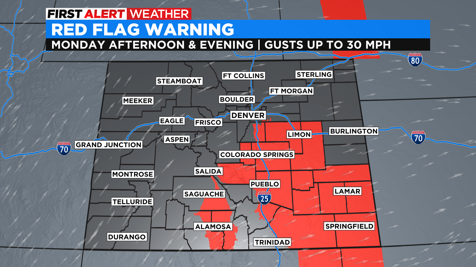
In addition to the warm and dry weather there will be low relative humidity values during the afternoon and evening hours on Monday around Boulder. At this point the National Weather Service has not placed the area under a Red Flag Warning but there are warnings that will go into effect late Monday morning for the southeast Denver metro area and a large part of south-central and southeast Colorado.
By Monday night and Tuesday morning the clouds will return to the Boulder area and they will be relatively thick as moisture moves into the state ahead of an approaching storm. Rain showers are expected to develop by the afternoon on Tuesday in Boulder.
Temperatures will fall sharply behind a cold front and that will allow relative humidity values to rise. If the rain can last long enough it may mix with or change to snow for a brief time Tuesday night in the Boulder area. Any accumulation would be light and probably confined to grassy surfaces.


