Colorado Weather: High fire danger continues ahead of mountain snow
Colorado will go from warm and windy to cold and snow over the weekend! Before we get to the snow, we still have very high fire danger to contend with.
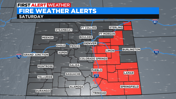
Our eastern plains and Douglas county will be under a Red Flag Warning on Saturday. We expect gusty wind, low humidity, and warm temperatures. All three of these elements can help fuel a fire very quickly. Be extra cautious outside tomorrow.
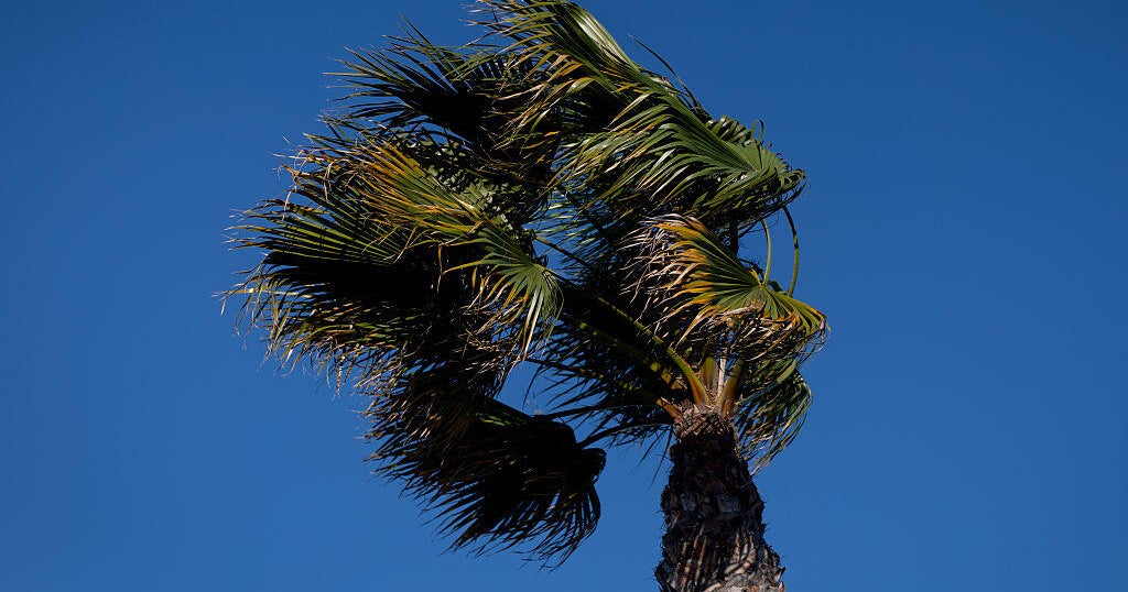
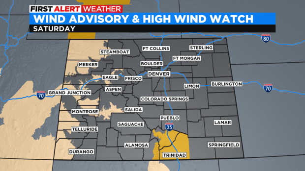
We also have a Wind Advisory for gusts up to 50 mph for almost all of western Colorado and a High Wind Watch in Las Animas county. Gusts could reach 70 mph in that area.
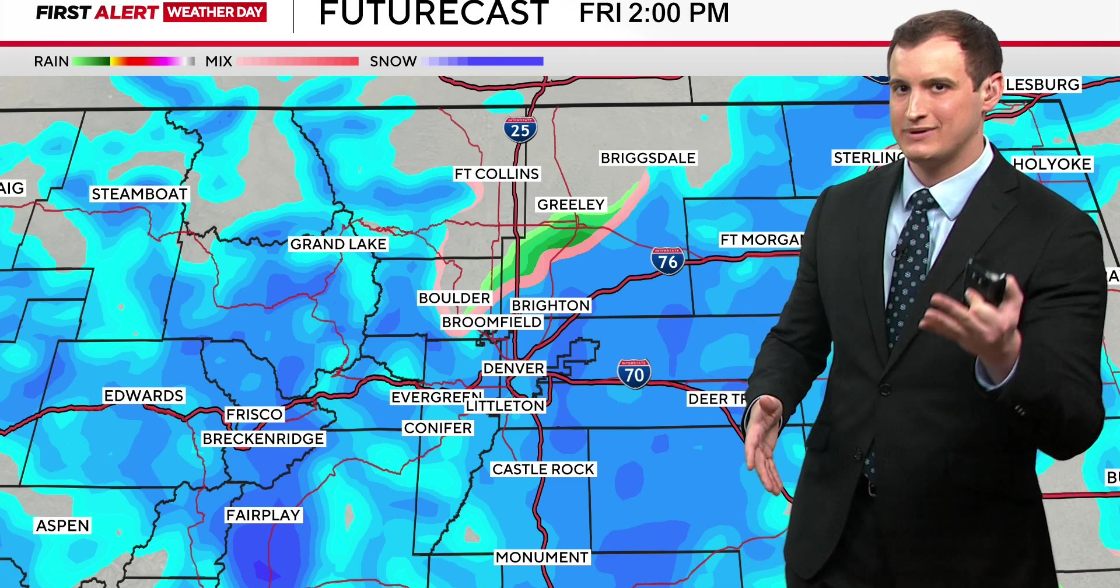
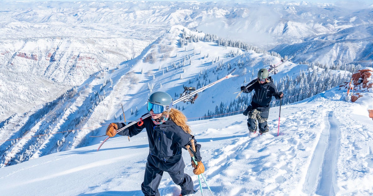
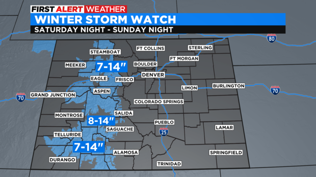
This wind is all ahead of a front that will pass through Colorado on Sunday. Snow and rain will start late in the afternoon or evening in the mountains and off to the west on Saturday. Winter Storm Watches start on Saturday evening for 7 to 14 inches of snow. This is our first big blast of snow so far this season.
Snow and rain will continue through Sunday evening, with the bulk of the moisture coming from Saturday night to Sunday early afternoon. Denver may get some light rain on Sunday afternoon and possibly a few flurries on Monday morning. We are also looking at our first freeze on Monday night!
Next week is much cooler than this week with highs in the upper to mid 50s. More moisture is possible late in the week.