Mild Monday with rain and snow by mid-week for Denver, across Colorado
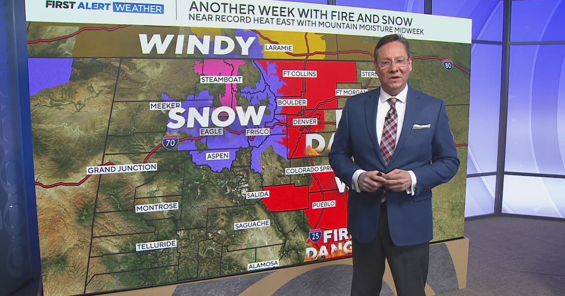
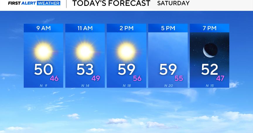
A busy start to the week is headed our way. Temperatures will remain roughly 15-20 degrees above average in Denver on Monday. Fire weather remains elevated.
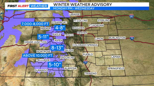
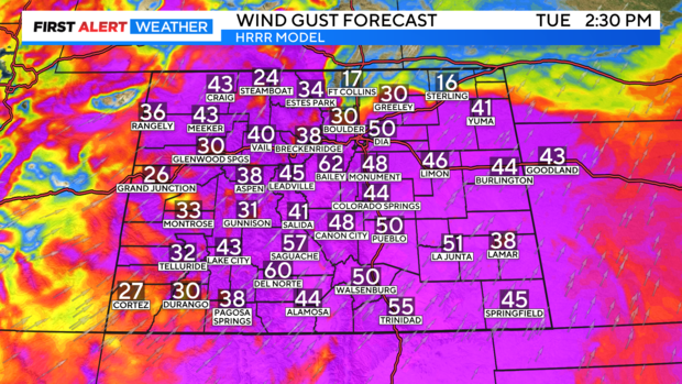
Rain transitioning to snow develops across the high country Monday evening through Wednesday. Tuesday will be a day with wind gusts to 60 mph, fire concerns across the Eastern Plains, and rain/a few snowflakes mixing across the plains. Okay, let's unpack all of that...
MONDAY: Red Flag Warnings have been issued until 6 p.m. across southern Colorado (El Paso County and south). The worst of the winds on Monday will remain confined across the high country and southern Colorado with gusts to 40 mph. Light rain will arrive Monday night across the mountains, transitioning to snow during the morning hours on Tuesday.
TUESDAY: First Alert Weather Meteorologist Joe Ruch expects travel impacts across I-70 near the Eisenhower tunnel during later portions of the Tuesday morning commute. Winter Weather Advisories have been issued from 6 p.m. on Monday through noon on Wednesday. The combination of snow and wind gusts to 40 mph will create slick travel.
As rain and snow fall across the high country, winds whip up to 60 mph across the plains. Rain and snow are not expected to impact the Front Range until the late afternoon and evening hours on Tuesday, so fire conditions will remain elevated. It is a busy forecast, so please use extreme caution.
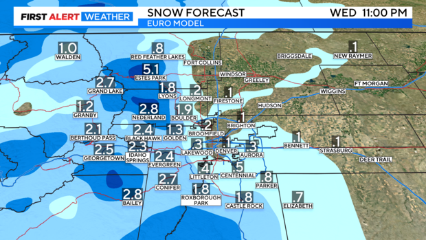
All rain is expected Tuesday below 9,000' across the foothills. As we head overnight Tuesday into Wednesday rain may transition to snow, allowing for very minor slushy accumulations at best on Wednesday. All it takes is 0.1" of snow at DIA for this to count as the first snow.

