Storm In California Heading For Colorado Next
DENVER (CBS4) -
After a chilly Monday, we felt more like spring than January for the Front Range and plains. Our official high in Denver on Tuesday was 68 degrees.
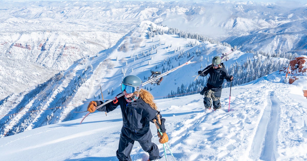
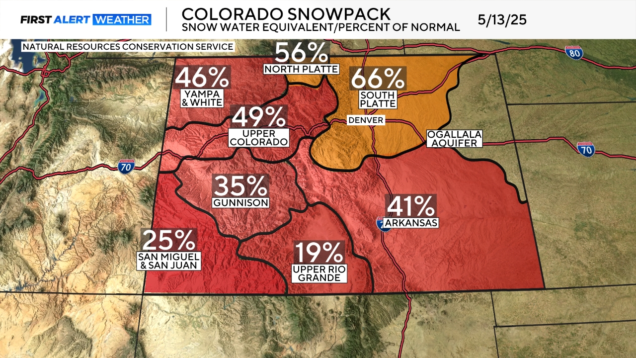
The warm weather won't last for long as a powerful cold front and storm system in California is taking aim at Colorado. The storm will ramp up a bit on Tuesday night, but will really get going through the morning and afternoon in the mountains. This is a southerly tracking storm, which means our very dry southwestern mountains could be in for quite the pile up of snow.
There are Winter Storm Warnings for the San Juans for 10 to 20 inches of snow. Other areas of the northwestern mountains could see 8 to 16 inches of snow, while mountain areas farther north including along the I-70 corridor will generally see 8-12 inches west of Vail Pass and 4-8 inches east of Vail Pass.
While the snow piles up in our mountains, we could get rain from the foothills to the plains in the early afternoon on Wednesday. As the cold front passes later in the day, this could turn to snow for us. There may actually be accumulating snow for the far eastern plains.
We'll be much cooler on Thursday, down to the low 40s for eastern Colorado and lots of 20s for the high country.
Friday will bring highs in the lower 50s followed by lower 40s again for the weekend. The mountains could see a bit more snow on Friday, but not the same intensity as the storm we expect on Wednesday.

Watch meteorologist Lauren Whitney on CBS4 News on weekday evenings at 5, 6, 6:30 p.m. Check out her bio, connect with her on Facebook or follow her on Twitter @LaurenCBS4.
