Even More Heavy Mountain Snow Keeps Avalanche Danger High
DENVER (CBS4) - Yet another winter storm will slam the mountains of Colorado with more heavy snow on Wednesday and Thursday. Then additional snow showers will be possible through the upcoming weekend.
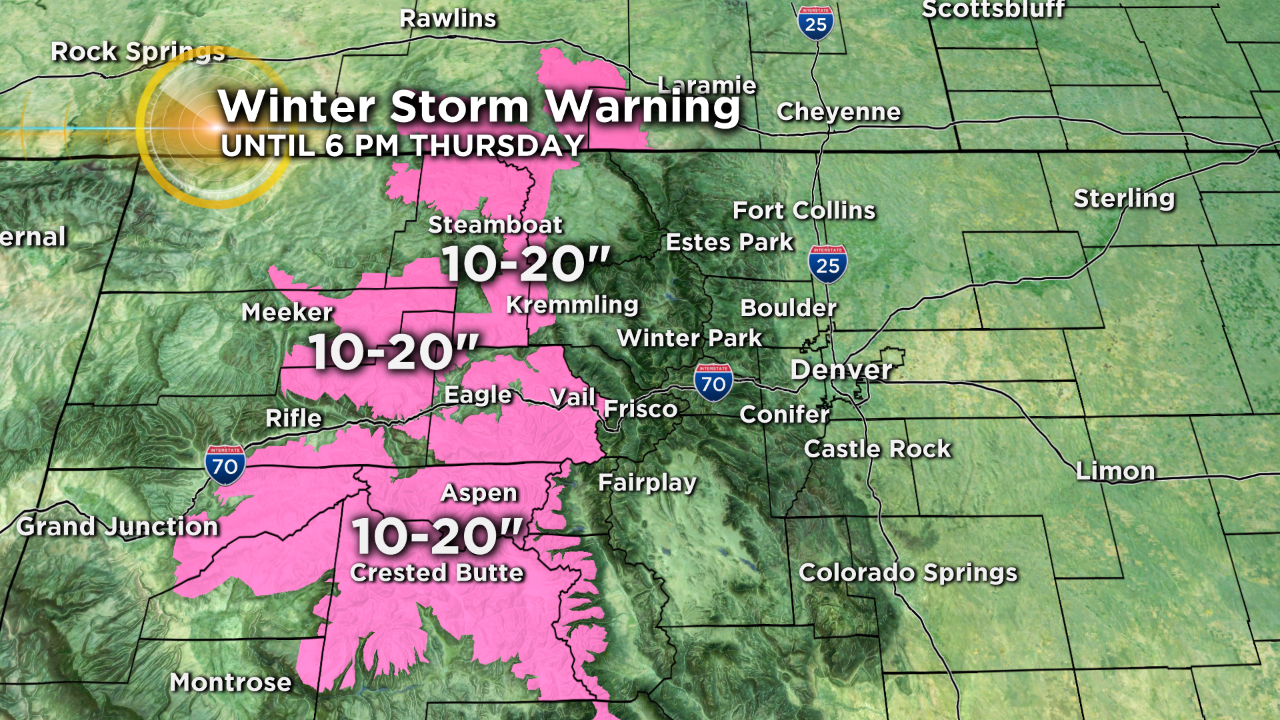
The heaviest snow will be found west of Vail Pass including the mountains surrounding Vail, Aspen, Crested Butte and Steamboat Springs. A Winter Storm Warning has been issued for these areas through 5 p.m. Thursday. Up to 30 inches of snow is possible on higher west-facing slopes in this region but most areas will see 10 to 20 inches except below 8,000 feet where total snow accumulations will range from 4 to 7 inches.
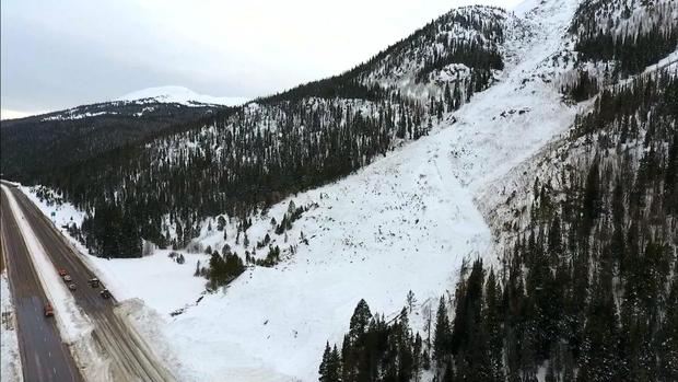
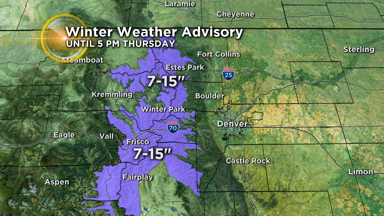
East of Vail Pass, accumulation will not be as high but still significant. The mountains of Summit County and the Winter Park, Estes Park, and Rocky Mountain National Park region will see 7 to 15 inches of snow through late Thursday afternoon. This includes the I-70 corridor from Georgetown to Copper Mountain.
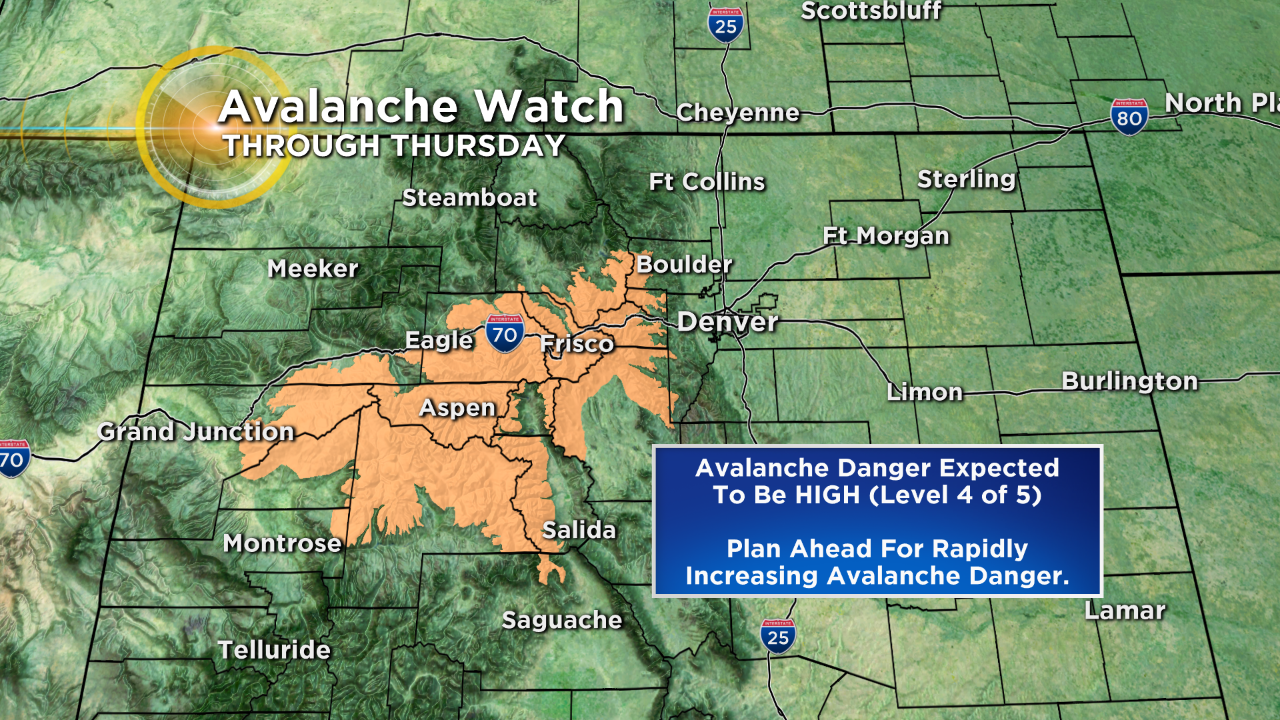
Dangerous avalanche conditions already exist in all of these areas and the danger will continue to rise.
The Colorado Avalanche Information Center expects peak avalanche danger Wednesday night into Thursday when the danger will reach the HIGH (Level 4 of 5) category. For now they have issued an Avalanche Watch which will likely become an Avalanche Warning by late Wednesday.
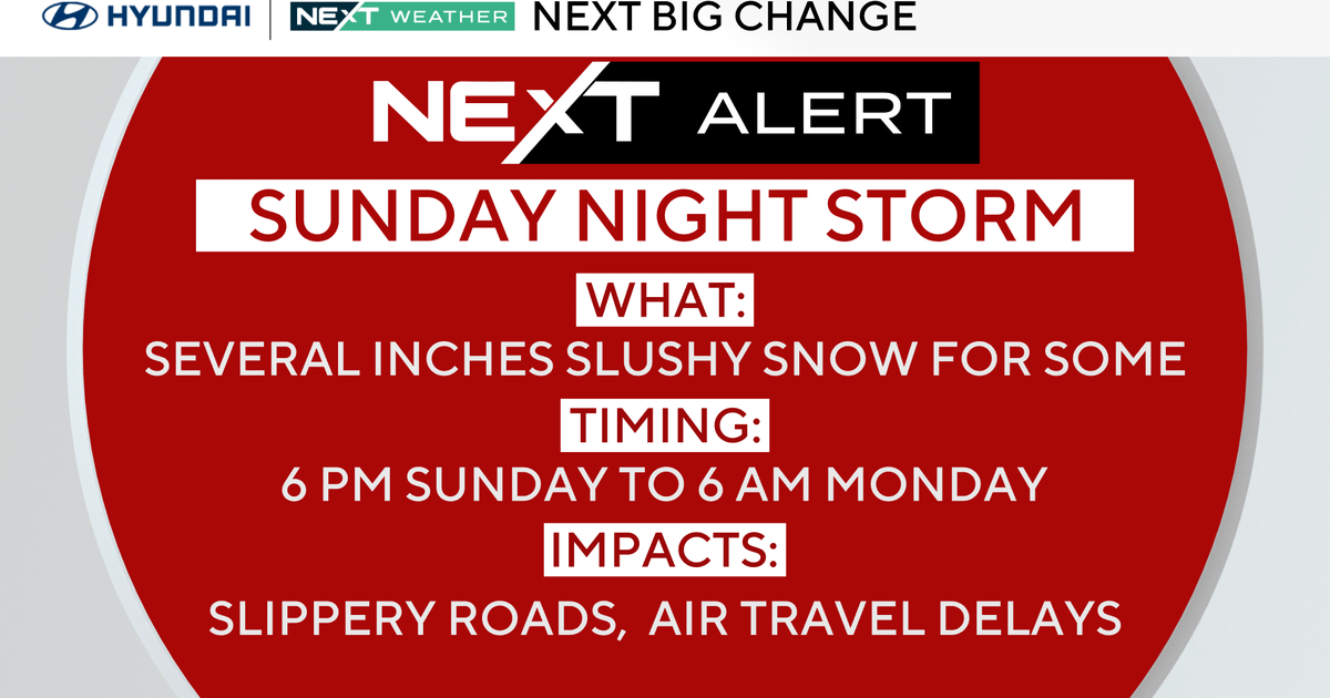
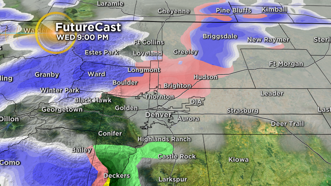
Because this latest storm is coming straight from the west, almost all of the snow will stay in the mountains. Westerly downsloping flow along the Interstate 25 corridor will work hard to keep the Denver, Boulder, and Fort Collins areas dry. That being said, there is a chance for light wintry mix Wednesday from about 6 p.m. through midnight. Light rain, light snow, and/or light freezing rain is all possible with the best chances being north of Denver.
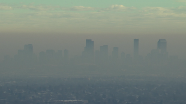
Also on Wednesday, a strong inversion will be set up over the Denver metro causing our infamous brown cloud to be visible.
