Gusty thunderstorms, rain and mountain snow coming to Colorado with October weather system
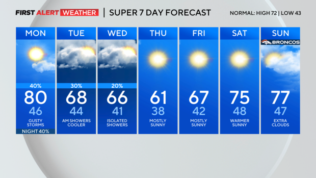
Happy Monday in Colorado! We have a First Alert Weather Day posted to give you a heads up about changing weather that will feature gusty, thunderstorms and an approaching cold front Monday afternoon and evening.
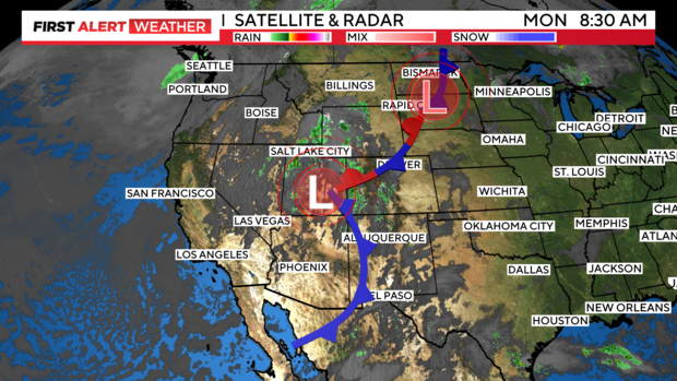
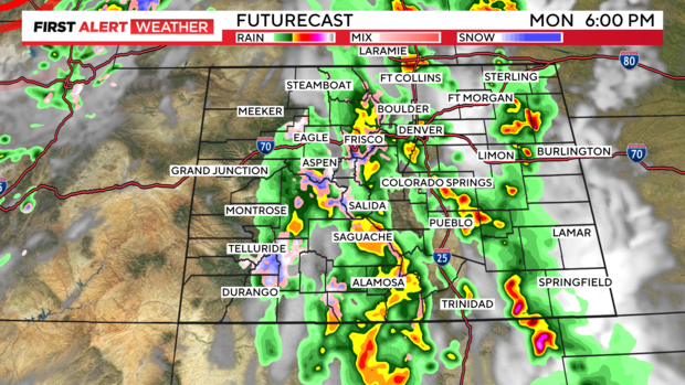
Showers and thunderstorms began firing up early Monday morning in the mountains and western Colorado. With the heating of the day and lift from an approaching jet stream and cold front strong thunderstorms may get built up over eastern Colorado.
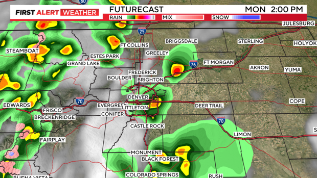
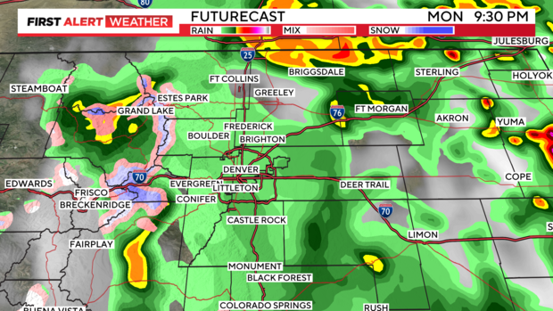
Midday thunderstorms will kick in gear over Denver and the Front Range and could be off and on thru the early evening. Wind gusts with some of these storms could get up to 40 mph.
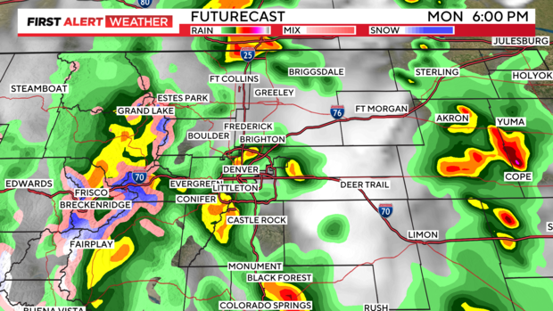
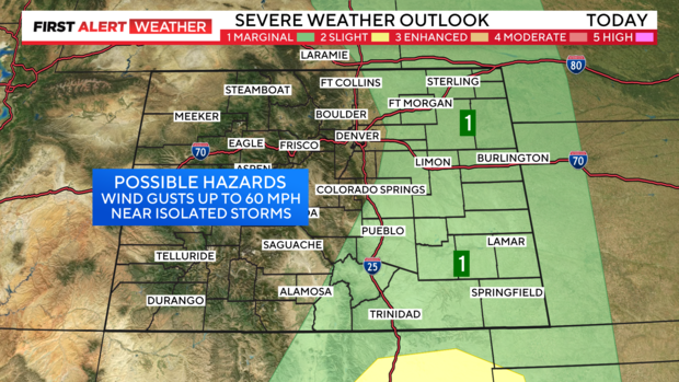
Stronger storms may come together over the Eastern Plains late afternoon into the evening. Some of these may reach severe levels for wind which would be 60 mph or greater.
There is a marginal risk east of Fort Collins and Denver out to the Nebraska/Kansas state lines and south over Colorado Springs and Pueblo.
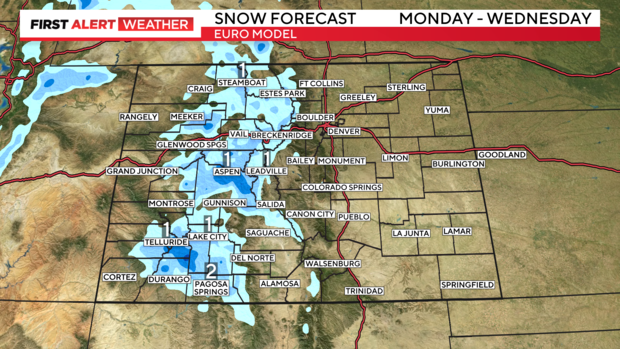
Along with the expected thunderstorms there will be a bit of snow in the Colorado mountains. The potential from Monday to Wednesday is 1 to 2 inches in some mountain spots.
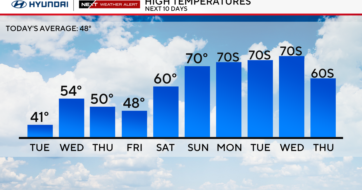
Cooler air will filter in behind the front with temperatures only making it into the 60s from Tuesday through Friday.
