Denver Weather: Start Of A Enormous Warmup
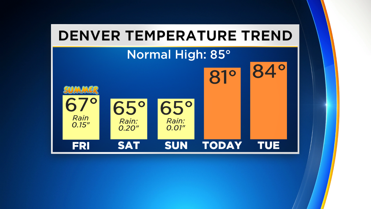
DENVER (CBS4) - Each day since summer started last Friday has been much cooler than usual. Highs in the Denver area on Friday, Saturday, and Sunday were stuck in the 60s. Rain was also observed each day and unusual summer snow feel in the mountains.
The storm system responsible for the chilly and wet weather has moved far enough east of Colorado to loose it's influence on our weather. The result will be much warmer and much drier weather for the final week in June.
High temperatures in Denver and along most of the Front Range will reach near 80 degrees on Monday. That's still below normal for late June but considerably warmer compared to the weekend.
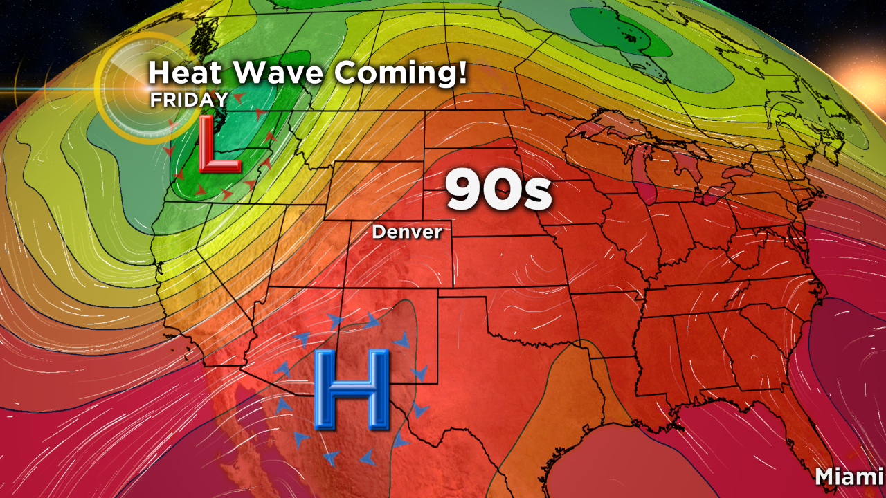
Then as the week progresses a large ridge of high pressure over western Mexico on Monday will gradually move northeast toward Colorado. As it does, temperatures will get warmer and warmer each day. The first 90 degree heat of 2019 is expected in Denver starting Thursday. Our average first 90 degree day in June 10 and in recent years it's been eailer so the 90s are definitely arriving later than usual this year. In fact, this will be the latest start to 90 degree heat in Denver since weather observations moved to DIA in 1995.
In terms of thunderstorm chances, there is a very slight chance each afternoon in the mountains and occasionally on the Eastern Plains as well. The only day with a slight chance for storms in the Denver area is Tuesday.

