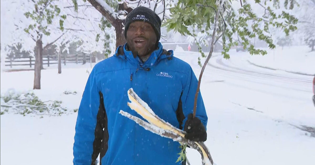
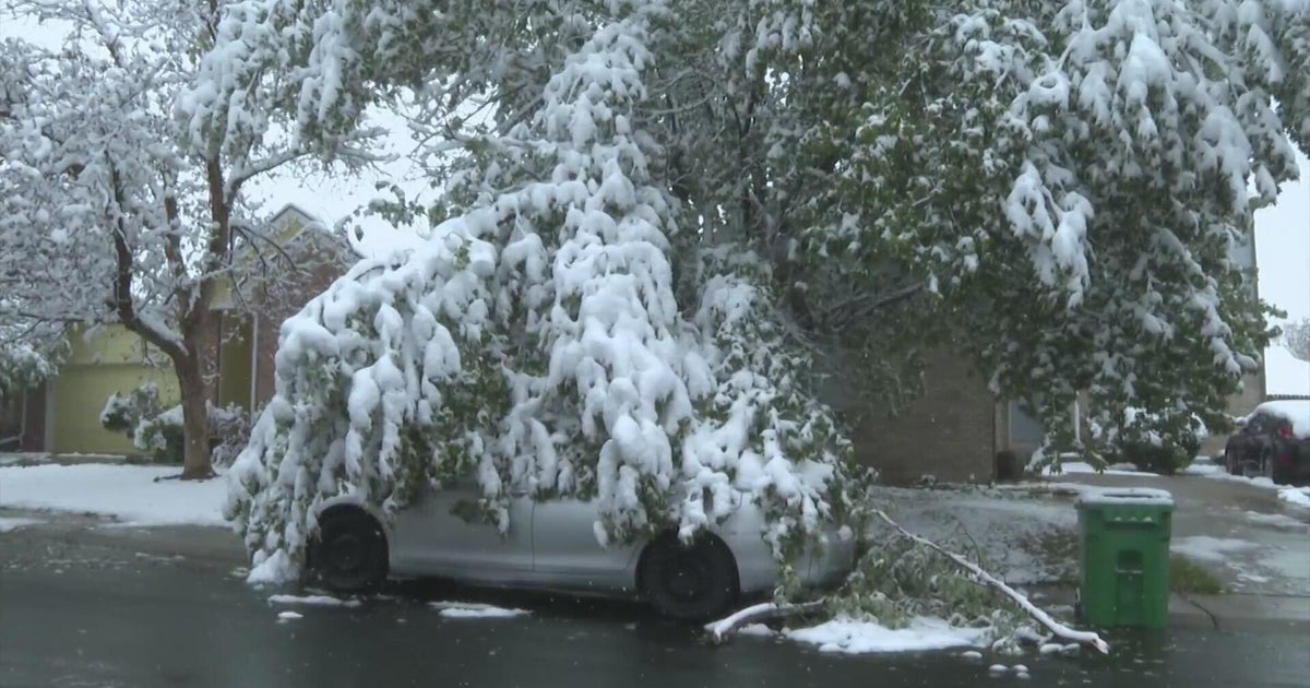
Windchills as low as -30F are coming to Denver. See a day-by-day breakdown of Colorado's snowy, artic blast
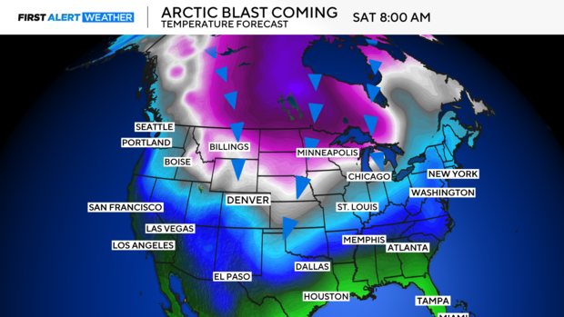
A dangerously cold Colorado weekend is approaching. Arctic air with windchills as cold as 30 degrees below zero is set to blanket Denver, and it will bring some snow.
We are still 72 hours away from the arrival of the cold arctic air, so I'll give you the forecast at a glance with everything we know to a high degree of confidence, and if you're interested in the detailed analyses, read on:
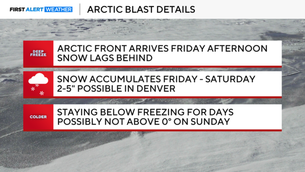
- The arctic front passes Friday night, and dangerously cold air and snow follow behind it.
- Snow will begin Friday night and linger into much of Saturday, at least on-and-off showers.
- Another reinforcement of cold air arrives on Sunday, and additional snow chances with this wave are uncertain.
Okay, now for the fun.
Arctic front arrives Friday
There will be a nice start to the day Friday with highs reaching the 40s by the noon. An arctic front approaches in the afternoon and sweeps through the state from northwest to southeast. Coloradans will know when the front passes as temperatures will sharply drop in a matter of an hour.
Snow will lag a bit behind the front and continue through Saturday.
Snow lingers Saturday, just the start of the cold
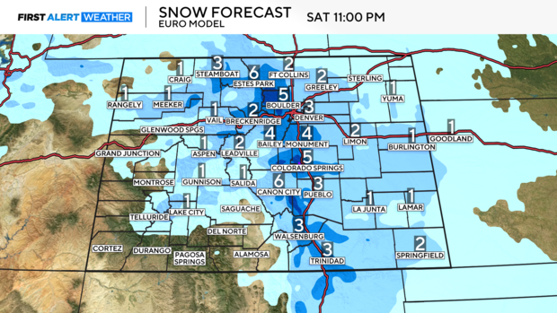
On-and-off snow Saturday will come to an end by the evening hours. I'm still thinking a general 2-5 inches of snow is expected across much of the Interstate 25 corridor. The accumulation will likely be lower in far southern Colorado. There should be 1-3" across the Eastern Plains.
This is something we are monitoring closely for a few reasons. The snow will be dry and fluffy. This means it can accumulate quicker, and these types of weather systems tend to have a better chance of overperforming. Additionally, banding will be involved. This means a few bands of heavier snow only a few miles wide develop. Those under the heavier bands will pick up a lot of snow, while those outside the band get robbed of moisture and typically end up on the lower end for snow totals.
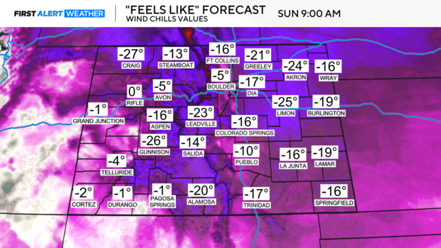
Temperatures will be in the single digits and teens on Saturday with lows below 0 degrees. Windchills will be capable of dropping as low as -30 degrees.
Reinforcing shot of cold air arrives Sunday, Monday remains frigid
Sunday will be frigid; many areas will be stuck in the single digits if not below 0. In fact, temperatures will likely stay in the single digits or below 0 Saturday night all the way through Tuesday morning. Windchills will range from -15 degrees to -35 degrees.
The biggest unknown is snow returning as our second arctic front brings colder air. As of now, the data is split and changing run by run.
Stay tuned to CBS Colorado Newscasts for updates on the severity of cold and snow headed our way.

