Denver Weather: Heaviest Snow Still To Come With Massive Colorado Winter Storm
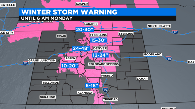
DENVER (CBS4) - Our big winter storm is parked right over the Four Corners region. This slow moving storm will continue to move east through Colorado overnight and through the day Sunday. A Winter Storm Warning is in effect for the Denver metro area.
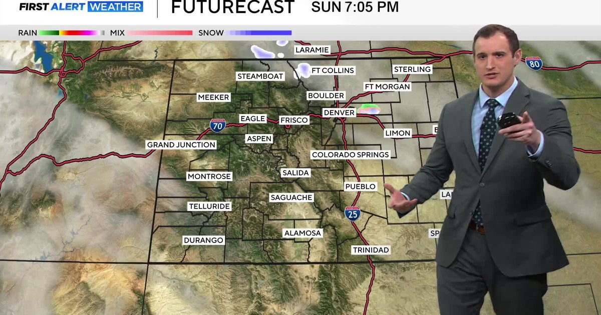
The heavy snow will really settle Saturday night in the evening hours, with a lot of accumulation expected by Sunday morning for many areas. Road conditions will quickly deteriorate once the sun goes down. Snow will continue through Sunday night before it starts to break up in the late evening. Bands of snow could produce 2 inches an hour for the Front Range, while the foothills could potentially get snowfall rates at 3 inches or more an hour, which will produce significant travel impacts. There is still intense snow to come.
For the Denver metro area, we are still looking at 12 to 24 inches of snow, with areas to the north looking at 15 to 30 inches. The bullseye continues to be the foothills and Front Range mountains, where 2 to 4 feet are still likely. We have Winter Storm Warnings in place through 6 a.m. on Monday, although the heaviest of the snow will be done well before that.
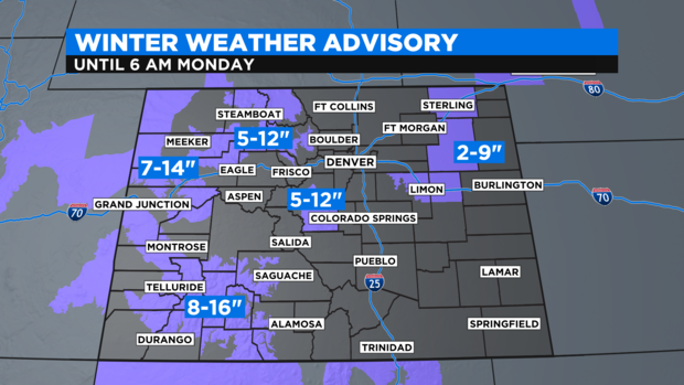
Numerous Winter Weather Advisories are in place for the western Rocky Mountains of Colorado and parts of the Eastern Plains. Southwest Colorado looks to come out with 8 to 16 inches of snow.
This is the wet, heavy snow that will bring quite a bit of liquid to our parched state. This storm will hopefully help relieve some of our drought issues.
RELATED: Snowfall And Liquid Precipitation Records Possible In Denver This Weekend | Colorado Is Known For Heavy March Snow, One Storm Ended Record Drought In 2003
