Colorado Weather: Next snow storm is a few days away
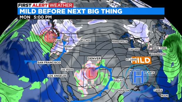
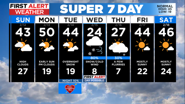
We have two back to back systems affecting the state next week. The first will produce snow mainly across southern Colorado with a few clouds for the Front Range.
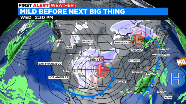
The second will be a bigger storm system for the entire state of Colorado. This storm system will move into the western half of the state on Tuesday night before blasting across the eastern plains on Wednesday.
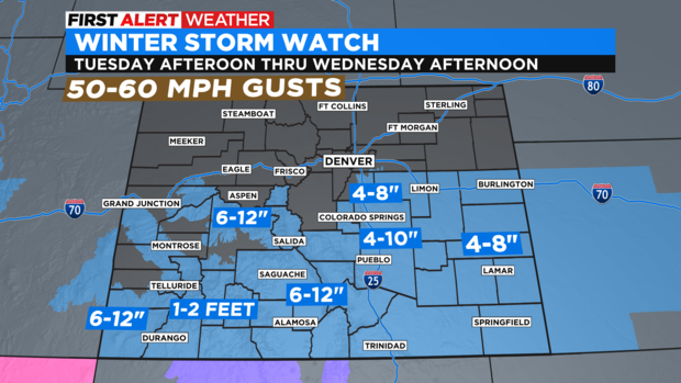
We have a Winter Storm Watch for almost all of southern Colorado Tuesday afternoon thru Wednesday afternoon. This includes parts of Douglas and Elbert county for 4- 8 inches of snow possible.
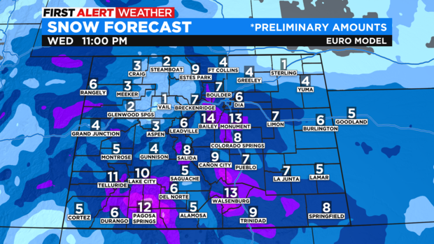
At this time some of the preliminary snow forecast models have a chance for up to 3 to 6 inches over the Denver metro area with up to a foot in many foothill and mountain areas of the state. There is still lots of uncertainty about the track of the Wednesday storm. But, we just wanted to give you a First Alert heads up that Tuesday night into Wednesday could have a major impact on roads and temperature for next week.
The storm system will drop daytime highs into the 20s for the front range. This is a fast moving storm and temperatures will rebound quickly back into the 40s by Friday and into next weekend.

