Colorado weather: Warmer than average, with a quick shot of mountain snow for Thursday
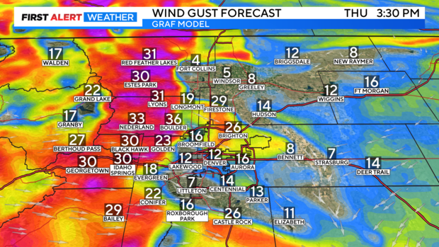
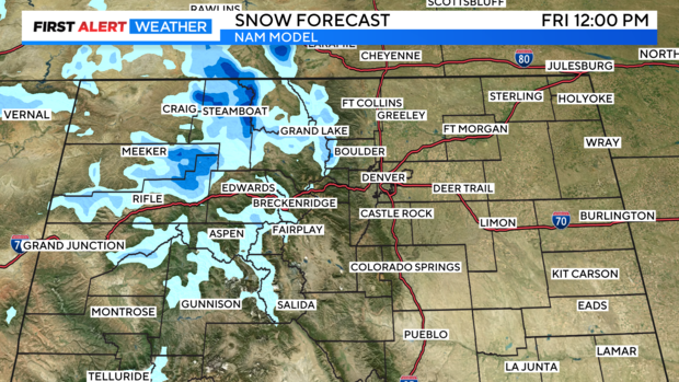
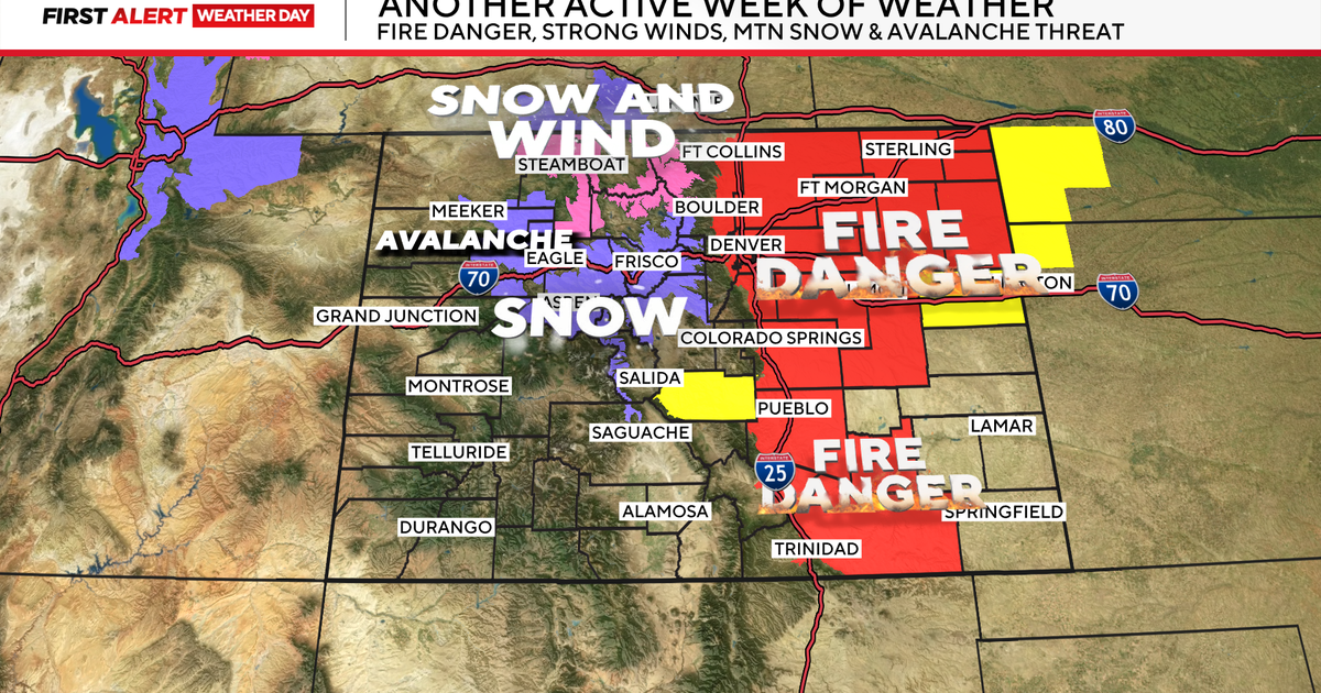
A quick-hitting storm system has brought rain and snow to parts of Western Colorado Thursday morning. This storm system will track across Colorado throughout Thursday, eventually dissipating by Thursday night. The northern mountains can see a few inches of snow as it moves through, while the Front Range, foothills, and eastern plains will see stronger winds.
Snow totals into the northern mountains range from 3"-6", with most of the accumulation happening around Rabbit Ears Pass into the Park Range.
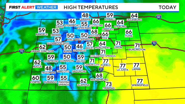
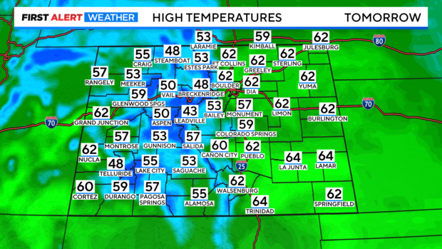
Warmer-than-average weather is still expected Thursday afternoon, with highs reaching the mid to upper 60s across the Denver metro and Front Range.
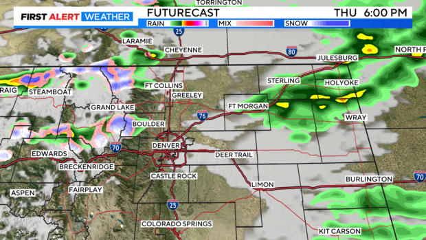
As this system tracks through Colorado, it could bring some light rain to Northern Colorado later Thursday, quickly drying up overnight.
Friday will come with more warmth, more sunshine, and drier weather. Highs are forecast to reach the 60s again.
Active weather will return looking ahead to the weekend, beginning with snow moving into the mountains late Saturday into Sunday. A surface Low will then bring rain to the Denver metro and Front Range by Sunday night, cooling temperatures heading into Monday.
