Colorado Weather: Most significant severe weather threat so far this year develops on Wednesday
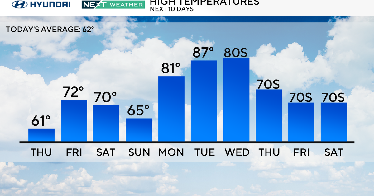
After warm temperatures and elevated fire danger on Tuesday, attention will quickly shift to Wednesday when the threat for severe weather means it is a First Alert Weather Day.
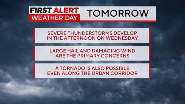
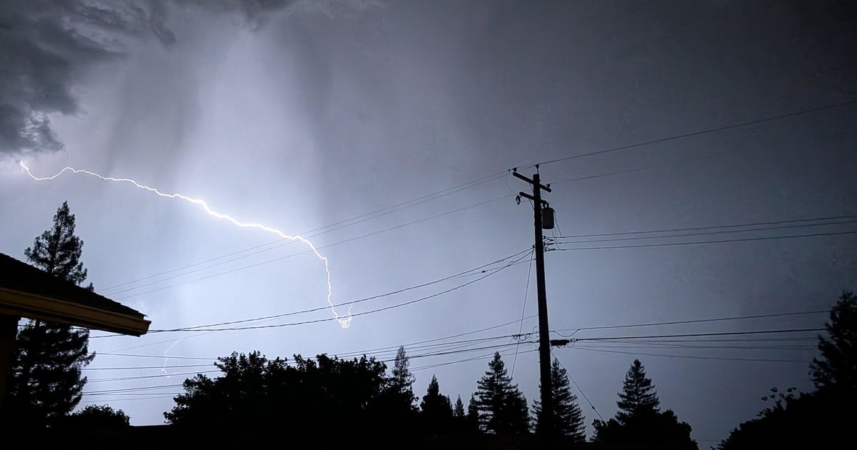
Although there have been a few severe thunderstorm warnings and at least one tornado warning in Colorado this year, Wednesday will be the first day of the season with a significant threat for severe weather over a broad area.
Dry and quiet weather will prevail in the morning on Wednesday before thunderstorms start developing in the early afternoon. Storm motion will be from southwest to northeast and as the storms move in that direction, they will quickly strengthen.
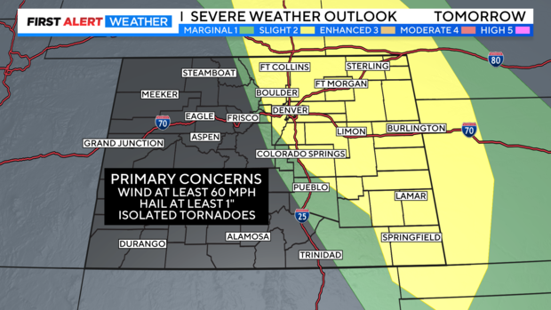
The primary concerns for all areas in Colorado east of the mountains is hail at least 1 inch in diameter and wind gusting to at least 60 mph. Widespread damaging hail and wind is not expected but some areas could experience damage patricianly with the hail Therefore if covered parking is an option on Wednesday, the First Alert Weather team recommends parking your car under some kind of shelter.
On a scale of 1 to 5 on the severe weather threat scale, Wednesday is currently expected to be a 2 (slight risk) but may eventually raise to be a 3 (enhanced risk).
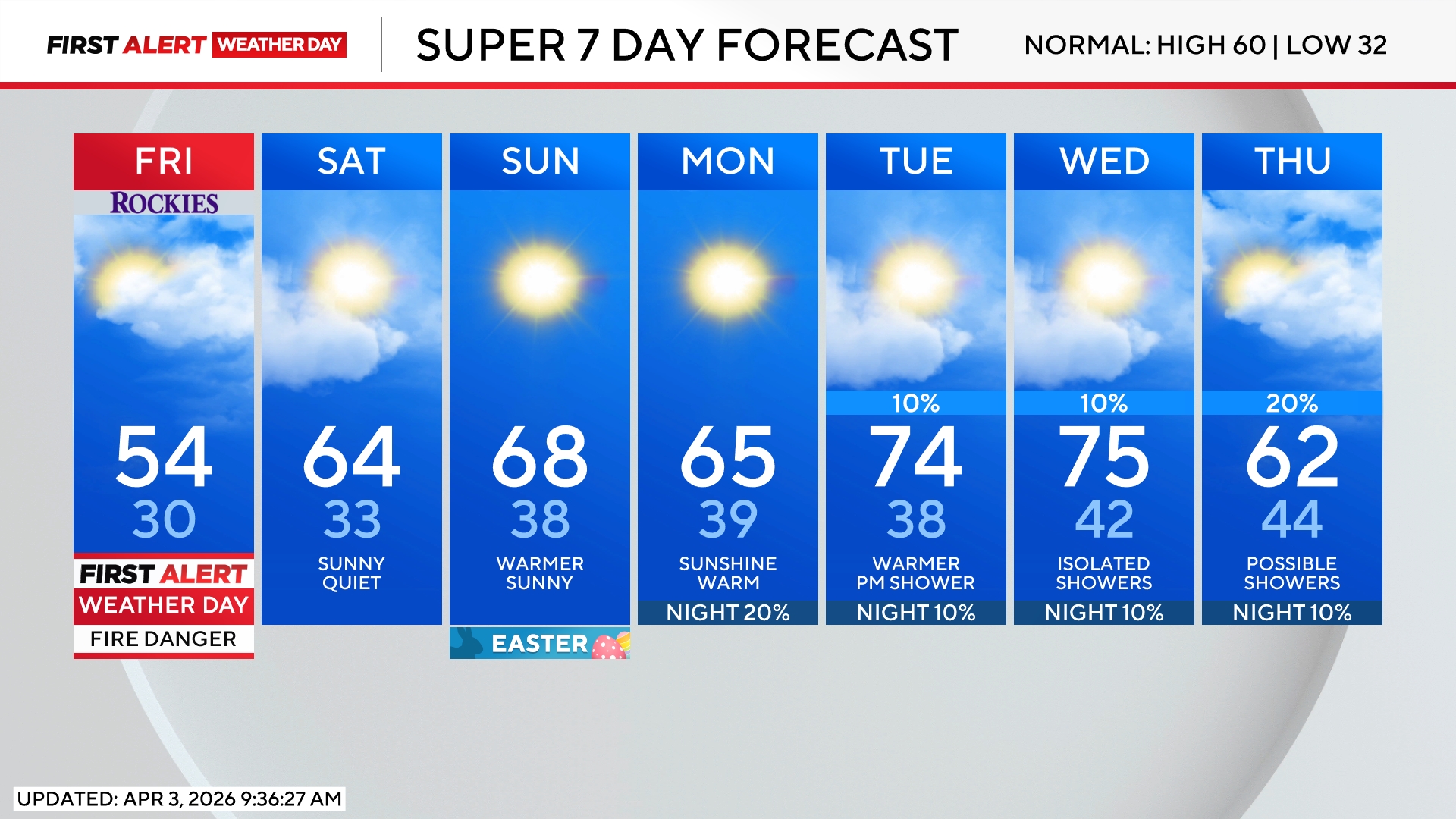
Looking beyond Wednesday, additional showers and a few thunderstorms are expected on Thursday but severe weather is not a concern for Colorado. Cooler temperatures are also in the forecast starting Thursday with 60s through Mother's Day weekend and daily chances for showers and mostly non-severe thunderstorms.
