Colorado Weather: From frost to fire danger this week
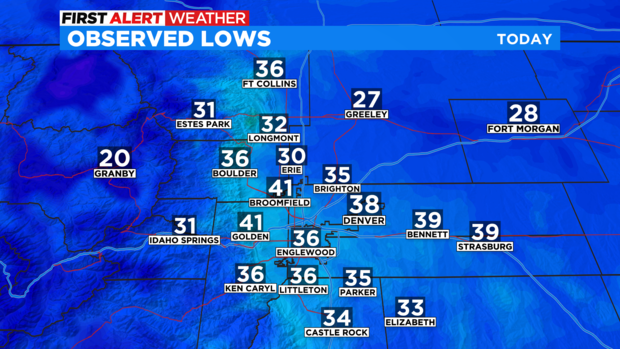
After a frosty morning over the Front Range now its time for a warming trend. Lows around the regions kicked off Tuesday with a cold jolt. Denver dropped to 38 degrees on Tuesday morning. While, places like Greeley and Erie dropped below freezing at sunrise.
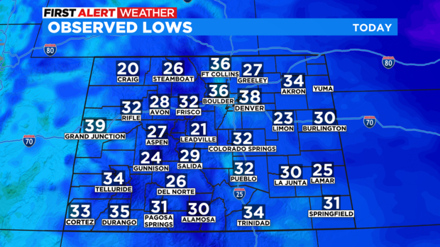
The Front Range was not alone in the cold. Many areas across the eastern plains and mountains dropped below 32 degrees as well.
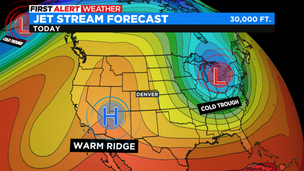
A strong high pressure ridge is in place over the western half of the nation. This ridge will slowly move over the Rockies thru the end of the week bringing in warmer drier weather along with a string of 70s for the Denver metro area starting on Wednesday.
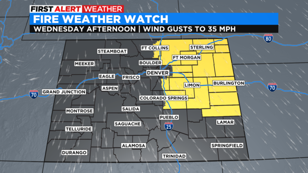
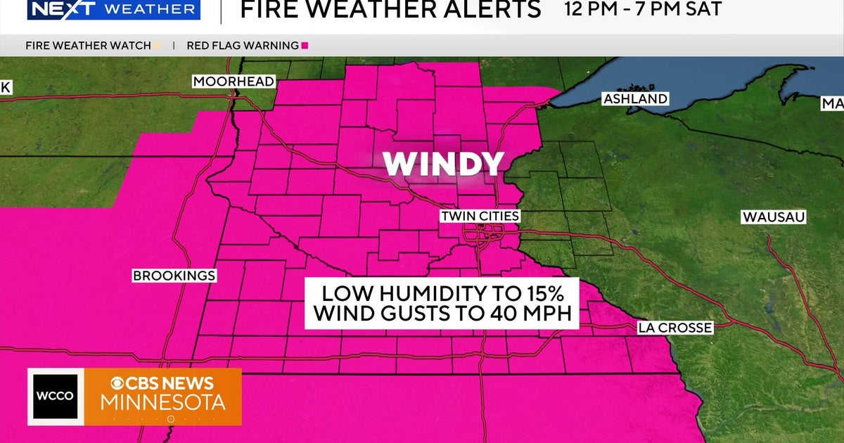
There will be fairly strong northwesterly wind gusts along with the warmer temperatures starting mid-week. This combined with low humidity levels and dry soils will boost the fire danger over much of the eastern plains. There is a Fire Weather Watch in place for Wednesday afternoon from Fort Collins and Greeley out over the northeast and central plains of the state.
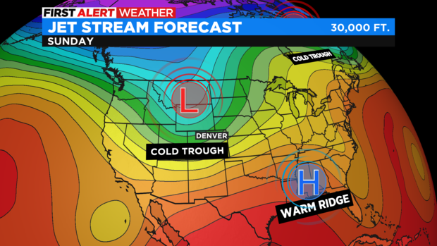
After a string of warm days thru Saturday our next big thing will be a cold shot coming thru by Sunday. A cold front with moisture for mountain snow and maybe a little rain/snow mix near the Front Range.
