Much Colder Today In Colorado With Pockets Of Snow Behind Pacific Front
DENVER (CBS4) - It will be much colder in Denver and eastern Colorado Friday behind a cold front associated with the latest winter storm. It's a relatively warm weather system with air from the Pacific Ocean.
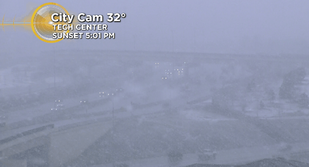
Denver looked like a snow globe Friday morning as areas of snow developed behind the front. Temperatures were hovering just above freezing so no major issues were reported on the roads.
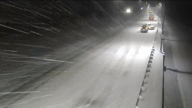
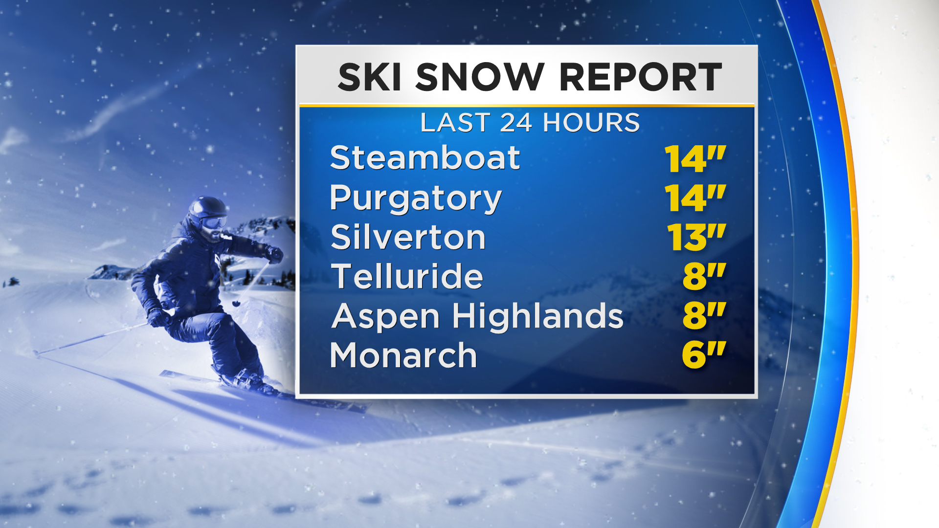
Heavy snow fell overnight in the high country with some rain in valleys. That led to some school closings. Schools in Bayfield, Pagosa Springs and Aspen were closed Friday.
A CBS4 Weather Watcher in Glenwood Springs reported a little over a quarter-inch of rain overnight. More snow is expected through Friday evening but it will not be as intense. Additional accumulations in the mountains will average in the 3-6 inch range.
Light snow showers are possible in Denver and on the northeast plains through the afternoon hours with little to no accumulation. The higher elevations west and south of downtown Denver, including Evergreen, Conifer and Castle Rock, could see a few quick inches of snow.
Skies should rapidly clear out overnight with warmer weather ahead for the weekend.