June set to bring active weather to Colorado, increased severe weather potential (think hail & lightning)

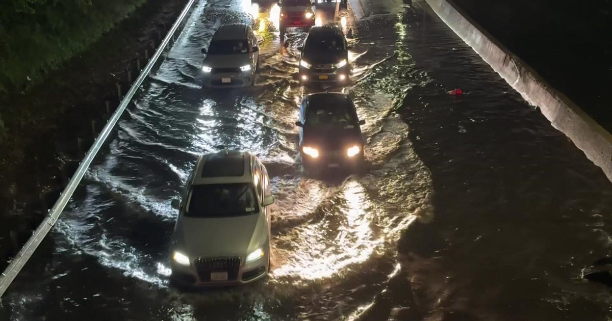
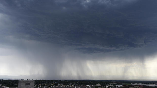
What an end to the month of May... hail, flooding, and several rounds of severe weather across Colorado's Front Range. June tends to be an active month for severe weather, and the trends are pointing to that again this year.
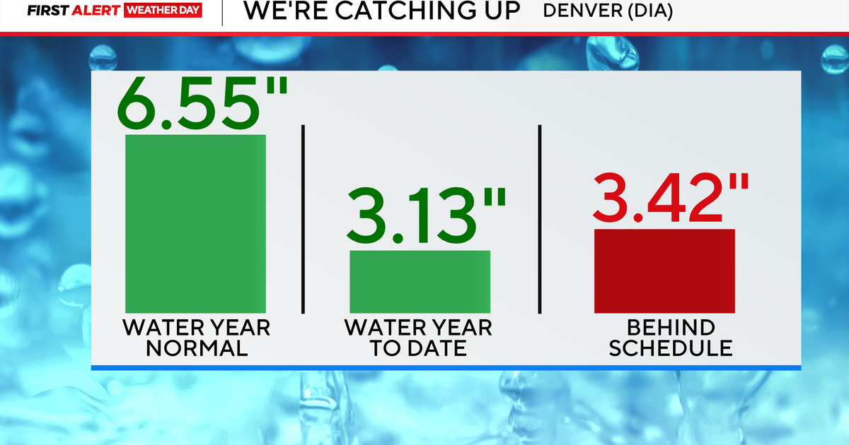
One glimmer of hope is all the rain we have received in Denver. Our year-to-date rain total is 8.37", this is about 2.5" over the typical year-to-date average. This kept northern Colorado drought-free.
June is the third wettest month of the year, bringing just under 2.0" of rain during a typical year. It has been a great start to the year, and we hope to keep the wet trend alive.
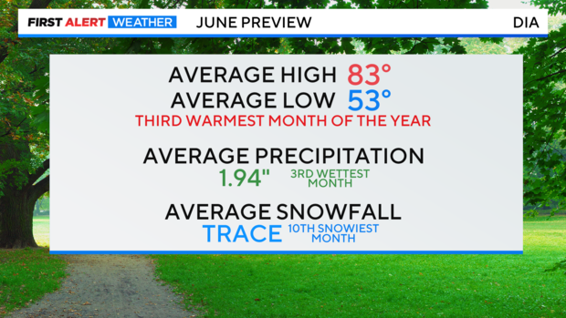
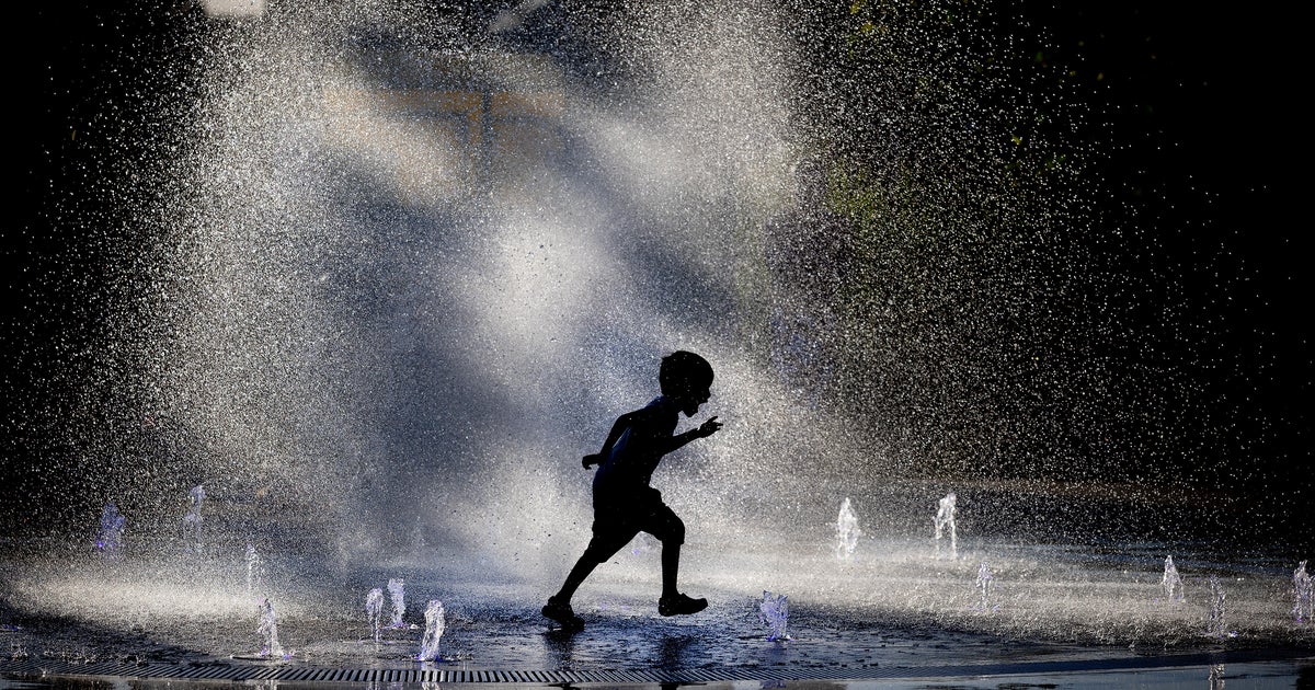
June also tends to be the third warmest month of the year with an average high of 83°. Summer lovers, warmer days are upon us.
Initial forecasts indicate a high probability of above-average temperatures with a 50-60% chance across the western 2/3rds of the state:
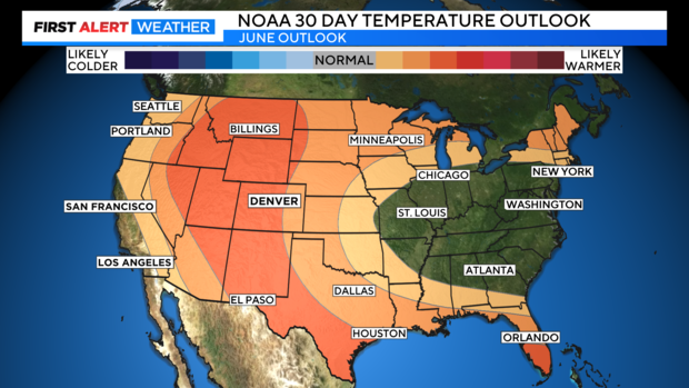
The long-range forecast for Colorado come from the National Oceanic and Atmospheric Administration in Washington DC.