Colorado introduces interactive air pollution source map
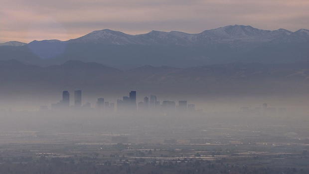
On some days the Denver metro area's air quality makes Denver hard to find. Now it has become much easier to locate the stationary sources of some of that pollution.
It's an interactive map with little dots representing potential sites.
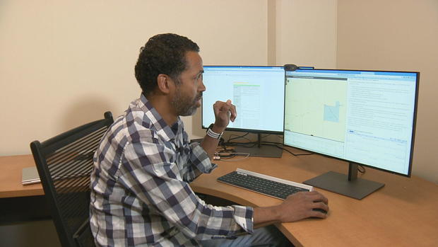
Michael Ogletree, director of the Air Pollution Control Division for the State of Colorado demonstrated how it works, "You can click, you can zoom in on one of the sources, you would be able to click on that site."
Take for example the Suncor refinery. If you click on the location in Commerce City, all the records on its permits, inspections, violations, and enforcement will come up.
Ogletree explained, "It's a web app, an application that is used through a web browser, you can also use it through your phone as well."
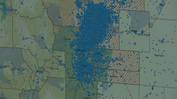
There are some 550,000 records contained in the database that was previously in a much more difficult form to search.
"Here people can zoom in to their particular communities and see what kind of sources are in their communities," said Ogletree.
For example, if someone spotted industrial smoke in the sky they could search the map for the possible source and report it.
"It would allow for those people looking and sort of being boots on the ground seeing different things, finding what the sources are through this."
The object of all this is the transparency of the records and of course transparency of the air.
Here is a link to the website: https://cdphe.maps.arcgis.com/apps/webappviewer/index.html?id=ae184f93b6954f269234ba2b62b74ea1
- There will be two public webinars on how to use the interactive map:
- Tuesday, 6-7 p.m
- https://us06web.zoom.us/meeting/register/tZUsdO2trDsoEta3mOyg40n1Q0xebAFGrXb8#/registration
- Thursday, June 8, 12-1 p.m.
- https://us06web.zoom.us/meeting/register/tZEsd-uhpz8iGN0tp9E53DdK_GUY-OhxwK7j#/registration