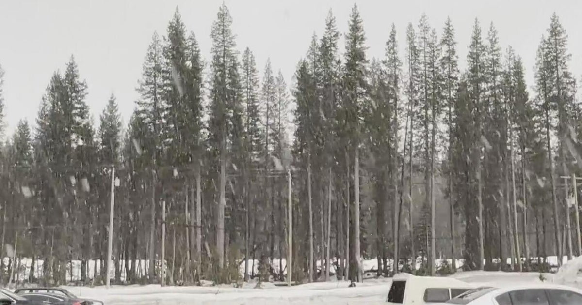
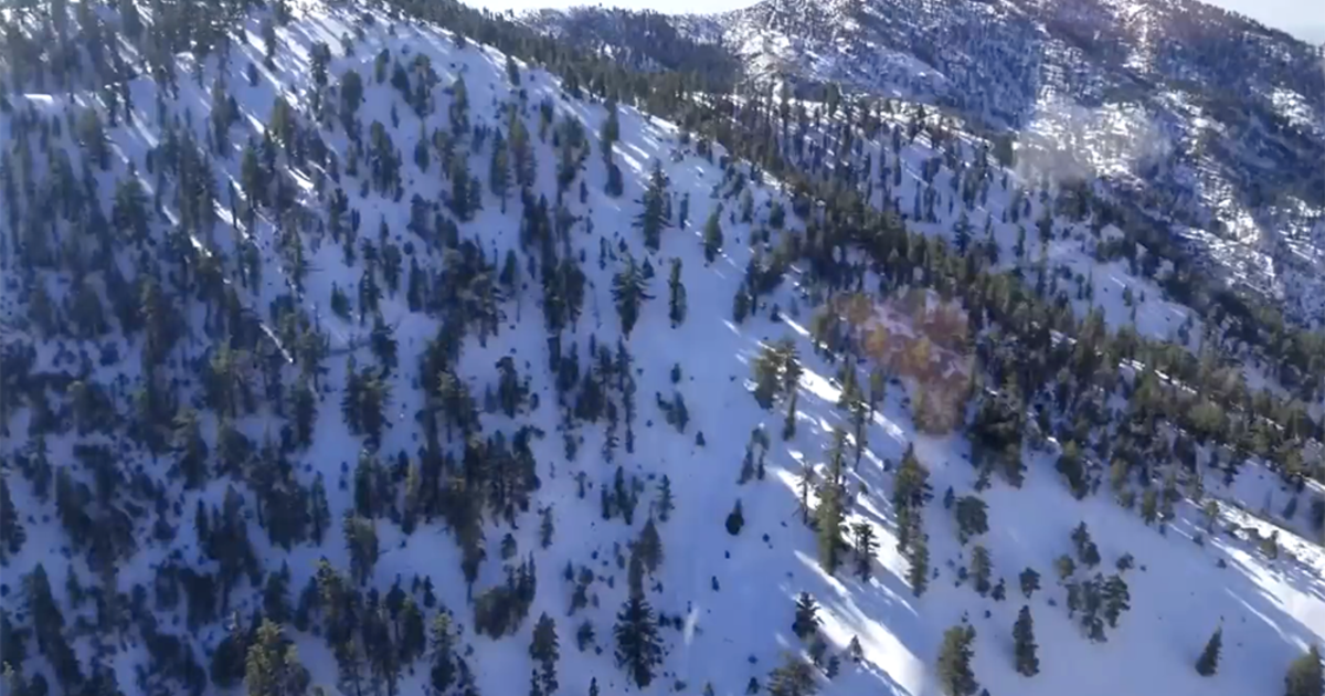
Cold and snow hit mountains first, then descend on the rest of Colorado
Our much-anticipated storm is so close! The cold and snow are almost here.
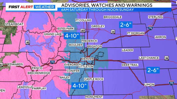
In the overnight hours into Saturday morning, we will see snow ramp up in the high country. Early Saturday morning, we could see light snow here in Denver but then most likely see a break for a few hours. The snow will get more widespread as the afternoon goes on and continue into Sunday morning for the Front Range.
We have Winter Storm Watches in place for the Denver area and parts of the foothills from Saturday morning until noon on Sunday. These areas could see 4 to 10 inches of snow. The wide discrepancy is due to the chance for banded snowfall. Someone along the Front Range could see heavy banded snowfall that will produce much more than other areas.
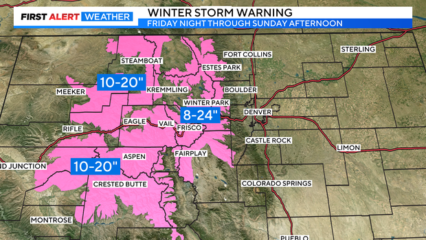
As for the high country, we are expecting quite the pile-up of snow from Friday night to Sunday afternoon. Some areas of the Front Range mountains could potentially see up to two feet of snow!
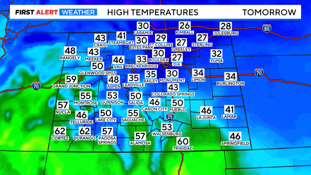
We are also going to cool off significantly. It's going to be downright frigid in Colorado! Highs will only be in the upper 20s on Saturday and Sunday. The high temperature on Saturday will actually come early in the day and then we'll see temperatures drop in the afternoon.
There will most likely still be snow on Sunday morning before tapering after lunchtime. Then we will be cold and cloudy before a very bitter night into Monday morning. If you haven't taken your pumpkins inside yet, do so before bed tonight. They'll turn to mush pretty quickly after freezing on Saturday. If you can get your mums inside, they may make it through the weekend.
