Front Range Snow Totals Include A New Record For Boulder
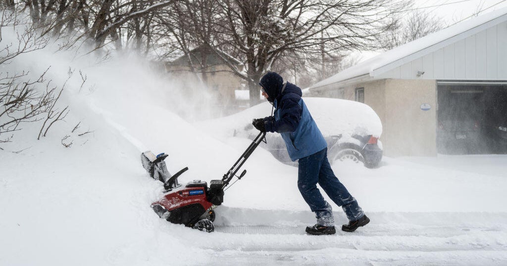
DENVER (CBS4) - December snows are often on the light side along the Front Range but occasionally they can bring higher totals.
While most locations have received 5 to 8 inches of snow there have been a few spots with higher amounts.
As of 1 p.m., Boulder has received 8.9 inches of snow setting a new daily record.
PHOTO GALLERY: Christmas 2014 (&The Day After) Snowstorm
The previous record for Dec. 26 was 7 inches set in 1988.
Since the storm began on Christmas afternoon, Boulder has received over 11 inches of snow.
Snow is expected to linger into the evening hours on Friday with some additional accumulation expected, especially in the mountains.
As this storm clears out overnight another one will follow close behind, expected to arrive by late Sunday.
Here are some of the latest reports from CBS4 Weather Watchers.
Bellvue - 10"
Coal Creek Canyon - 9"
Conifer - 9"
Applewood - 7.8"
Loveland - 7"
Westminster - 6.5"
Wellington - 6"
Nunn - 6"
Niwot - 6"
Greeley - 5.8"
Fort Lupton - 5.5"
Littleton - 5"
Lone Tree - 5"
Golden - 5"
Nathrop - 4.7"
Lafayette - 4.5"
Brighton - 4.5"
Thornton - 4"
Franktown - 3.5"
Here are some of the latest reports from the National Weather Service.
Wolf Creek Pass - 23"
Eldorado Springs - 14.9"
Texas Creek - 11.4"
Cotopaxi - 11.3"
Boulder - 11"
Chatfield Reservoir - 10"
Allenspark - 10"
Berthoud - 9"
Superior - 8.5"
Pinecliffe - 8"
Fort Collins - 8"
Allenspark - 8"
Silver Plume - 7.4"
Virginia Dale - 7"
Crestone - 6.7"
NW Denver - 6.3"
Federal Heights - 6"
Beulah - 6"
Arvada - 6"
Penrose - 6"
Bailey - 5.3"
Watkins - 5.1"
Brighton - 5"
Estes Park - 4.8"
Broomfield - 4.5"
Parker - 4.5"
Denver International Airport - 4.4"
Illif - 4"
NE Denver - 4"
Monument - 4"
Sterling - 1.5"
