It's Back! The Infamous Brown Cloud Visible To Many In Denver On Thursday
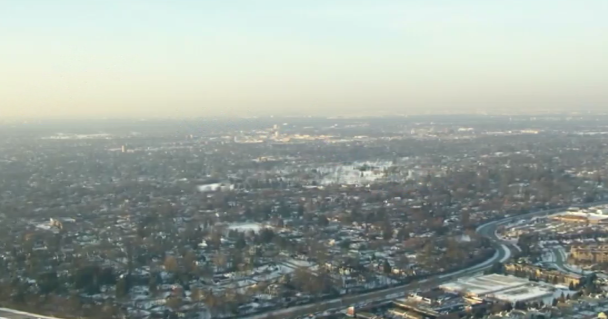
DENVER (CBS4) - Temperatures inversions along the Front Range on Thursday will cause significantly warmer and colder temperatures over short distances. It also means air quality will suffer and Denver's infamous brown cloud will be visible.
A temperature inversion occurs when temperatures above the ground are warmer than the temperatures at the ground. This phenomenon is opposite of normal which is colder temperatures above the ground.
The forecast for Thursday calls for the warmer weather above the ground to trap particulate matter (pollution from several sources) near the group meaning worsening air quality, poor visibility, and the brown cloud over Denver. The cloud will be most visible to areas west of Denver looking east and areas south looking north.
The Colorado Department of Public Health and Environment has declared indoor resident wood burning restricted on Thursday together with a declaration of "poor" visibility.
While air quality in the Denver area often suffered from wildfire smoke during the summer and fall last year, air quality has not frequently been an issue in recent months. Thursday will be among the first days this winter the brown cloud will be visible.
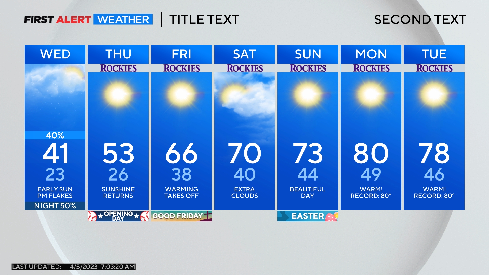
The temperature inversions also means there will be a large discrepancy when it comes to high temperatures along the Front Range on Thursday. Most of Arapahoe and Douglas County (areas south of Denver) will reach well into the 50s for high temperatures while most of Larimer and Weld Counties (areas north of Denver) will stay in the 40s.
Increasing wind on Friday will help to eliminate the inversions and therefore air quality should be better and temperatures will be more uniform along the urban corridor. And speaking of temperatures on Friday, it will easily be in warmest day of the week with highs in the upper 50s in the metro area. Some areas could hit 60 degrees.
