Big changes move into Colorado with Denver's first snow possible Wednesday
While Eastern Colorado remains under the threat of high fire danger, by Tuesday morning some mountain neighborhoods were already picking up accumulating snow.
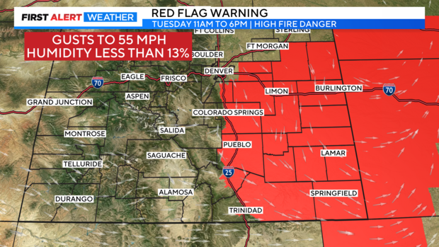
Red Flag Warnings and High Wind Warnings are in effect for the plains through 6 p.m. Tuesday as winds could gust up to 55 mph. With warm and dry conditions across eastern Colorado, rapid fire spread is possible.
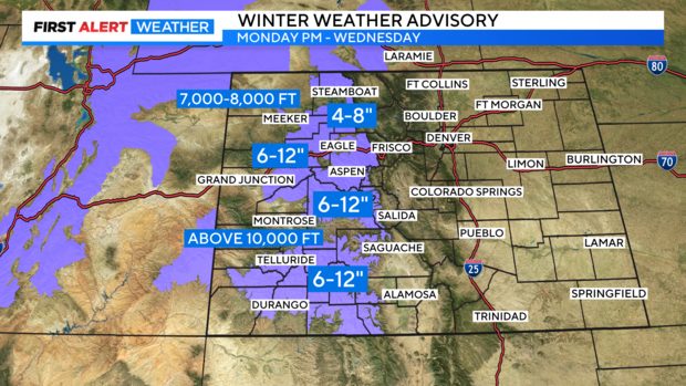
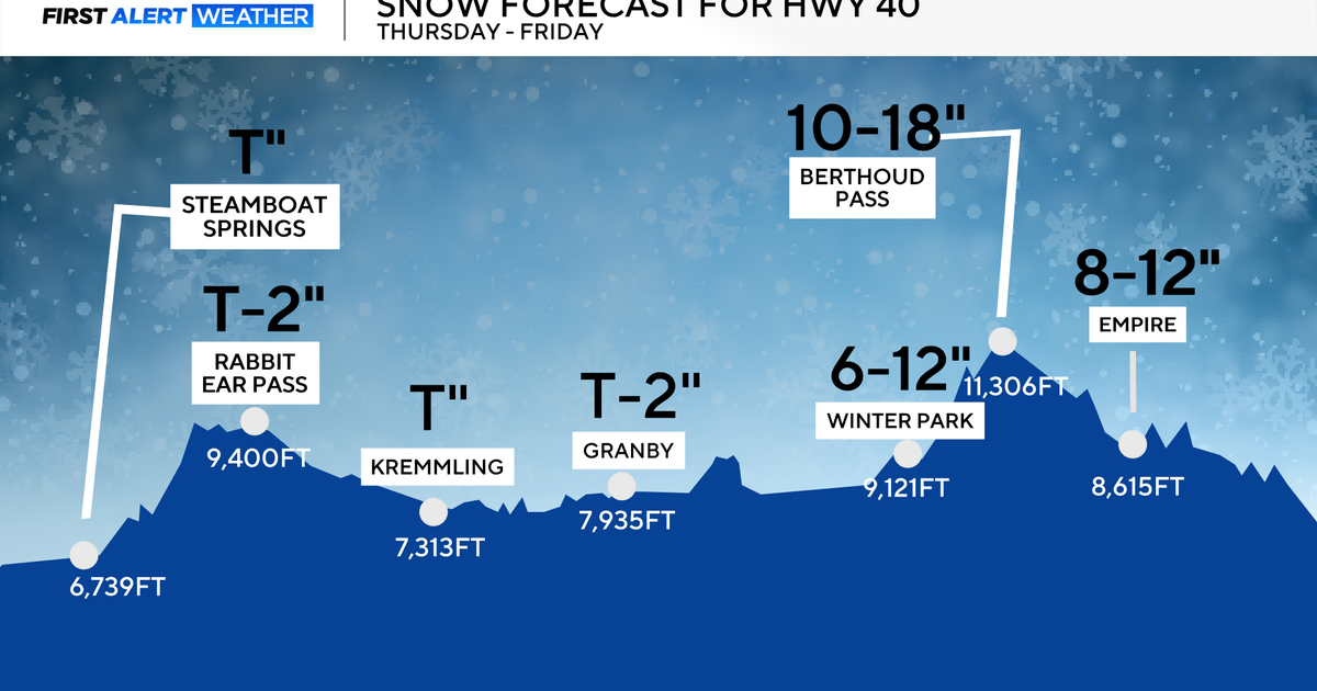
This storm system brought rain and snow to the high country overnight Monday into Tuesday, and rain and snow will continue through Wednesday morning. Winter Weather Advisories are in place until Wednesday morning for the mountains with more accumulating snow possible.
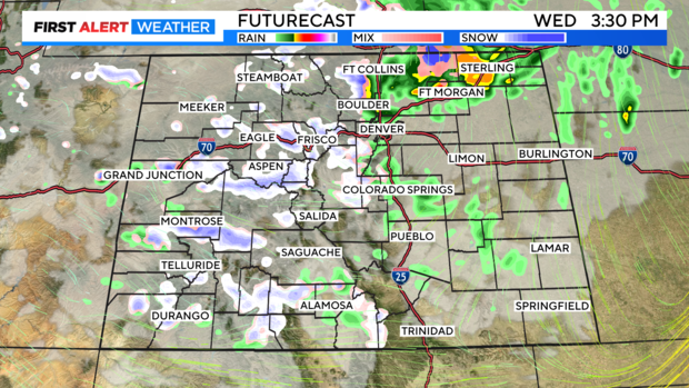
The Denver metro area and Front Range may see a spotty shower on Tuesday afternoon, with a better chance of rain and snow overnight. By Wednesday, Denver's first flakes could be flying, with little to no accumulation expected. There may be a dusting of snow on roofs and grassy surfaces, but minimal accumulation is expected.
Areas above 7,000 feet, near the foothills, and in the Palmer Divide may see less than 1 inch through Wednesday.
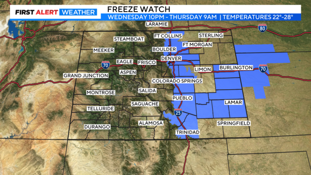
Freeze watches go into place for the I-25 corridor into parts of Eastern Colorado from Wednesday night to Thursday morning as temperatures dive into the low 20s.
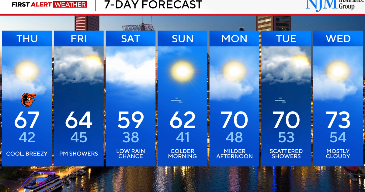
By Thursday afternoon highs will climb into the 50s, meaning a cooler trick-or-treating forecast, but dry for Thursday evening.

