A Colorado warm up with a chance for more hail storms
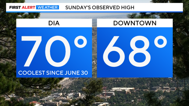
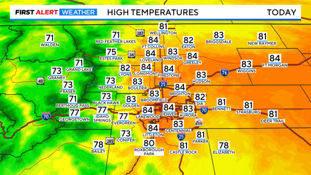
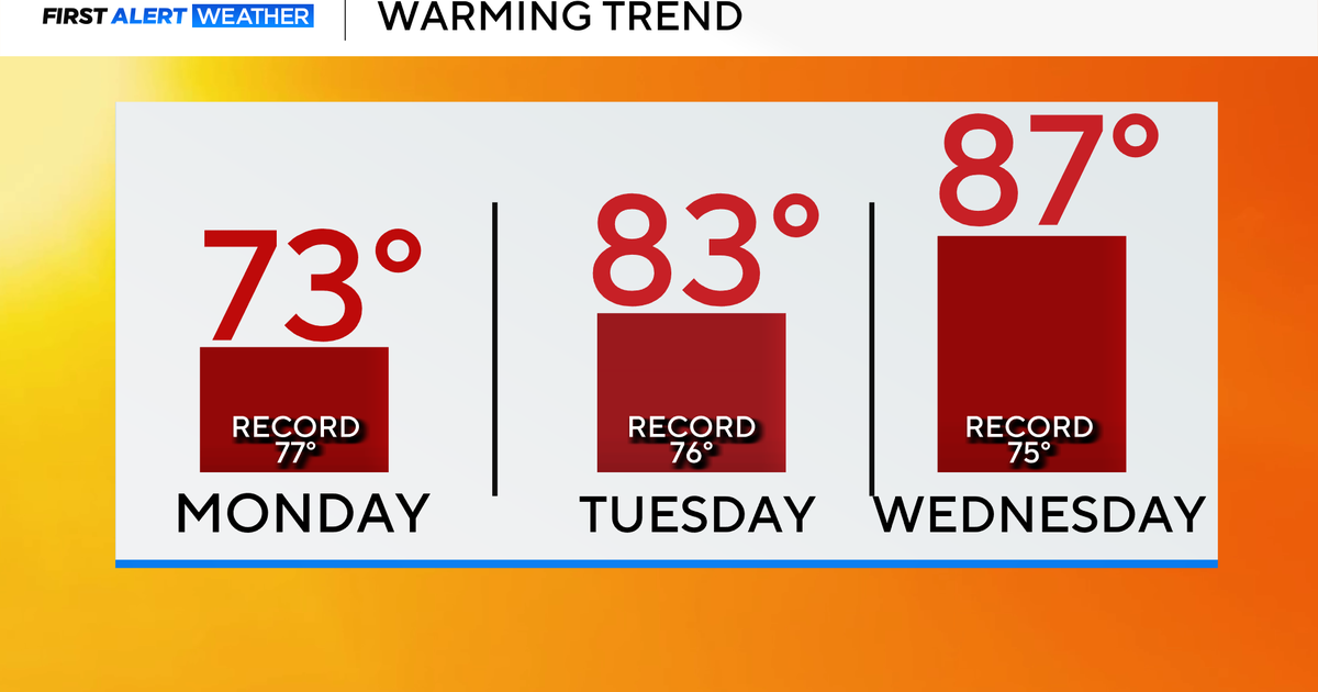
Happy Monday! After a stormy and cool weekend we have more stormy weather and a warm-up this week. Sunday's high was only 70 degrees with a weekend cold front. Monday's highs should be about 10 to 15 degrees warmer.
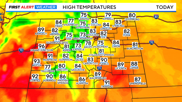
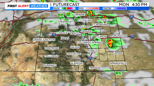
With temperatures warming into the 80s and low 90s over the eastern plains there should be enough heating for thunderstorms to ramp up after 2 or 3 pm Monday afternoon.
Showers and thunderstorms will redevelop along the northern foothills and I-25 corridor by early afternoon.
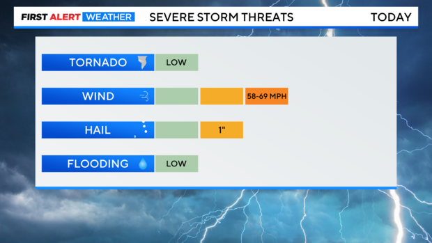
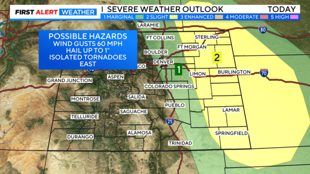
There is a chance for severe storms over most of eastern Colorado. Over the northern front range and Denver metro area there is a marginal threat for severe storms. With the greatest threat for the Denver metro area being hail up to 1 inch diameter hail and up to 60 mph winds.
Farther east from Fort Morgan, Limon down to La Junta out to Kansas some of the storms may also, drop an isolated tornado!
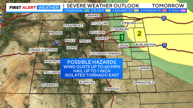
Tuesday will have a smaller chance for storms with the severe chances confined to northeastern areas of the state.
