What Chicago Looked Like In 1833
CHICAGO (CBS) -- In 1833 in Chicago, the mail came once a week from Michigan to the 350 residents of what was a four-square block hamlet.
In 1833, Chicago stood on the American frontier.
Outside the window of what would eventually become my office at the CBS Broadcast center 181 years later, I would have seen a tiny cabin, right where the 160-ton steel Picasso sculpture now sits on Daley Plaza.
One block to the south, was the town's first public school, at Madison and Dearborn.
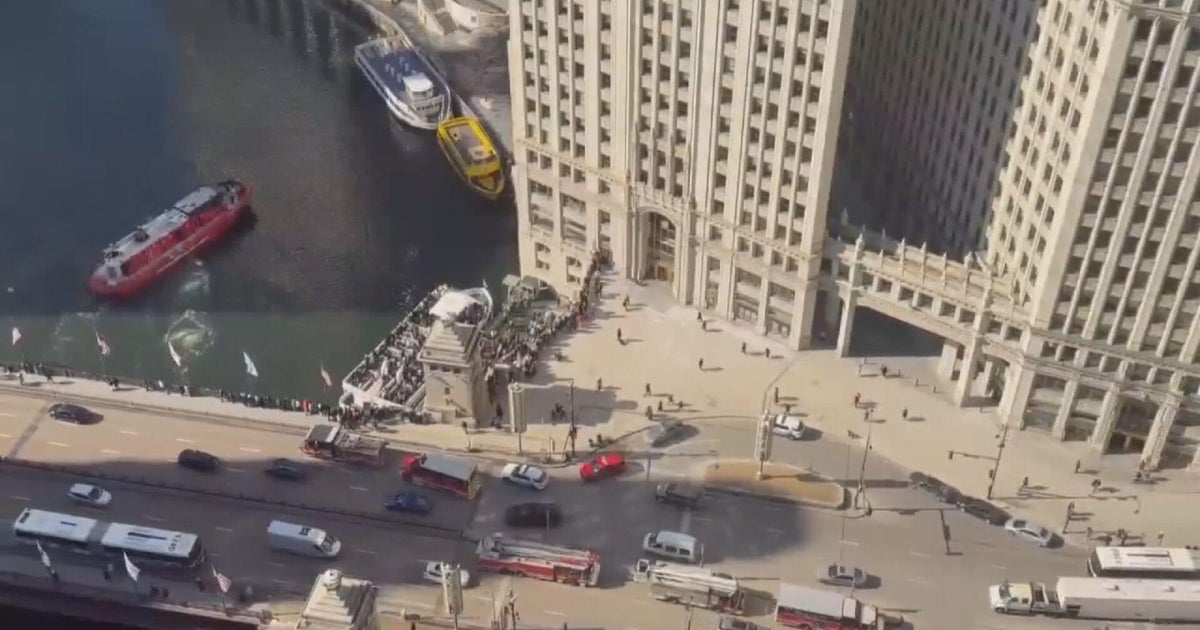
The rebuilt Fort Dearborn guarded the town along the Chicago River, which is now the bustling corner of Michigan Avenue and Wacker Drive--the gateway to the Magnificent Mile.
The Magnificent Mile? It was "dense forest" in those days.
It's fun to look at the map, which I found on @amazing_maps on Twitter, and imagine what it was like then, and what the city has become.
The center of town back then is where the center of city government--City Hall on LaSalle--stands now.
The town's "Rush Street" appears to have been by the Post Office, around the fork in the Chicago River.
The Chicago of 1833 basically encompassed about half of what The Loop is today. Back then, there would be no debating which neighborhood you lived in. And there was only one way to cross the Chicago River.
The nation's first skyscraper, Home Insurance Building, was built in 1884 at LaSalle and Adams streets. It was a forest bordering farmland 50 years before.
The city rose and fell and rose again after the Great Chicago Fire in 1871.
The city's population grew to 4,000 people in 1840 and 300,000 before the fire destroyed much of the city.
Its population peaked in the 1950s at 3.5 million people, according to U.S. Census data. It now consists of 2.7 million residents covering 234 square miles.
--John Dodge, CBS


