Temperatures up and down in Chicago in days to come


An active northwest flow aloft brings noticeable day-to-day changes in our weather through the coming weekend.
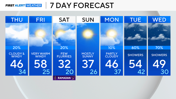
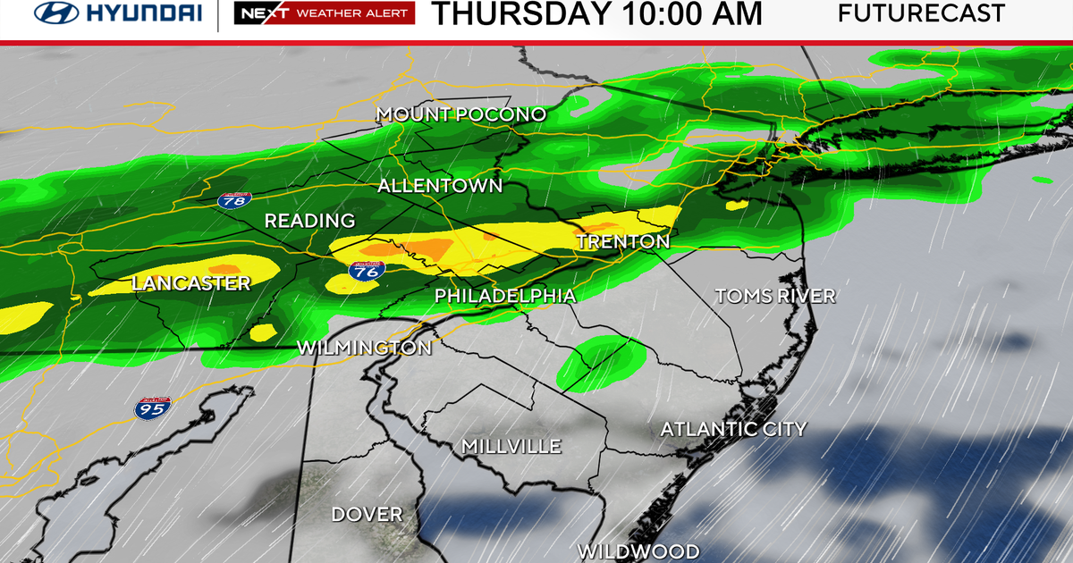
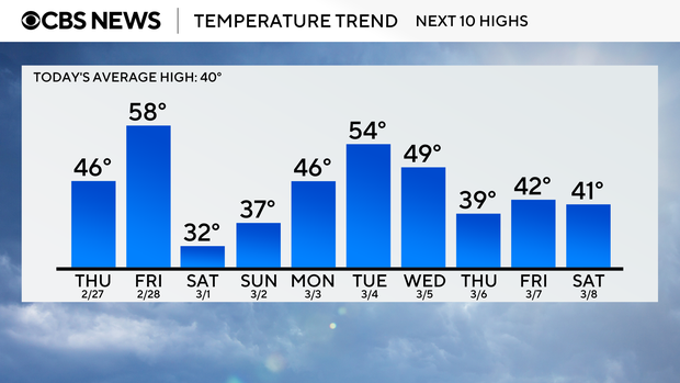
Following a few remnant rain showers Wednesday night, Thursday brings overcast skies and gusty, cooler winds. A weak disturbance cruising through the area will lead to a slight chance of rain showers which may mix with graupel/ice pellets.
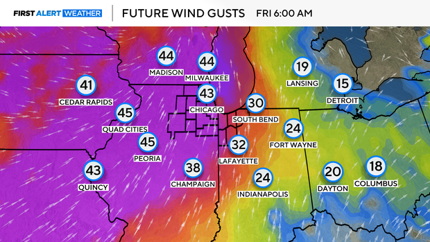
On Friday, strong southwest winds may reach 40-50 mph, likely prompting a Wind Advisory for portions of the area. The winds will cause temperatures to soar to near-record levels. Chicago's record high Friday — the final day of meteorological winter — stands at 62 degrees set in 2016.
Temperatures drop to cooler than normal levels this weekend behind a strong cold front. Highs hover in the 30s with a few flurries Saturday, then sunshine Sunday.
Warmer temperatures and soaking rain return next week.
Forecast at a glance
Wednesday night: Cloudy with a few light showers. Low: 36
Thursday: Cloudy and windy. A few rain showers mixed with ice pellets. High: 46
Friday: Partly cloudy, very windy and warm. High: 58