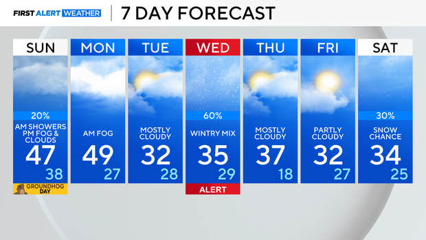
Early rain, snow, fog in Chicago Sunday ahead of mild temps by afternoon

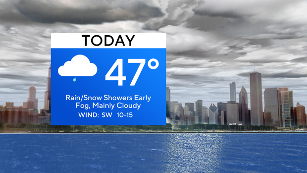
CHICAGO (CBS) — The rain and snow activity is wrapping up by daybreak, but fog will be left across the area.
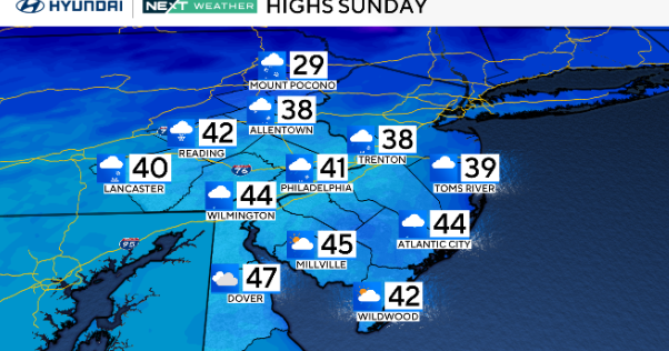
It could be locally dense in certain locations, so visibility will drop randomly while you're commuting. By late morning, the fog should start to mix out, but we will be left with mainly cloudy skies for this Groundhog Day. Temperatures will zoom to the middle and upper 40s, and the southern suburbs will be near 50 degrees.
The record high temperature in Chicago for Feb. 2 was set in 2020 at 52 degrees.
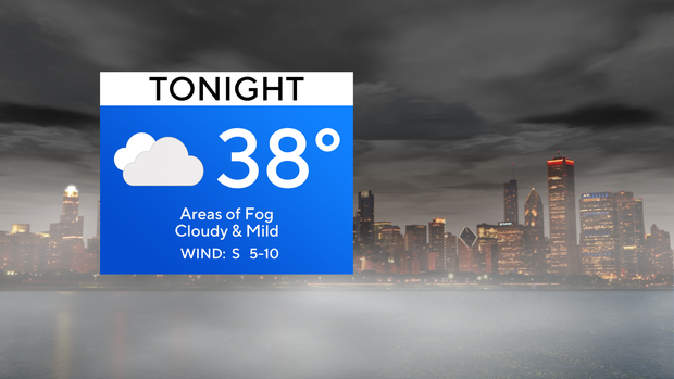
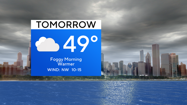
Overnight, clouds linger, and fog redevelops, with lows dipping into the middle 30s. Monday morning will be foggy, and by the afternoon, mostly cloudy skies will prevail, with highs topping out in the upper 40s.
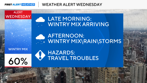
The workweek starts off with dry and cloudy skies, but by Wednesday, we are tracking a wintry mix and drizzle in the late morning. In the afternoon, rain, freezing rain, sleet, and snow follow. A weather alert has been posted to give you a first alert on the wintry mix that will impact all commutes come Wednesday.
Forecast at a glance
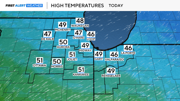
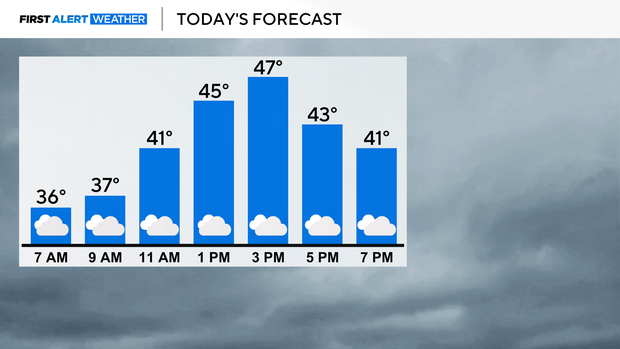
TODAY: Rain and snow fade by daybreak. Fog lingers through most of the day. The high will be 47.
TONIGHT: Cloudy and foggy. A low of 38.
TOMORROW: Morning fog. Mostly cloudy. A high of 49.