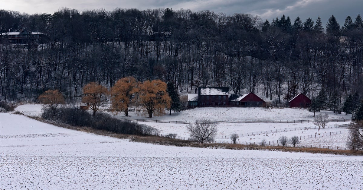
Chicago Weather: Arctic Front Coming In, But Snow No Longer Expected
CHICAGO (CBS) -- An Arctic front is targeting Chicago Monday evening, but an anticipated band of snow for the west of the city looks like it will not be materializing after all.
A a fast-moving, rather impressive band of snow had been expected for areas along and north of I-88 between 3 p.m. and 6 p.m.

A winter weather advisory had been issued until 6 p.m. for Lake, McHenry, Kane, and DeKalb counties. But it ended up being canceled before 4 p.m.
But the precipitation began dissipating as it moved into our northern counties. Subsequent models indicated that most of the precipitation would fall as rain rather than snow through 6 p.m.
Any wet flakes would be confined closer to the Wisconsin state line.
But high winds stay with us until 10 p.m.
Meanwhile, there will be a harsh temperature change over the next 24 hours, with the overnight low bottoming out at 19 degrees.

On Tuesday, conditions will be sunny and cold with a high of 25, and the wind chill making it feel like the teens.
On Wednesday, snow showers are expected in the early morning. Otherwise it will be partly cloudy with a high of 24.