Chicago First Alert Weather: Snow returns

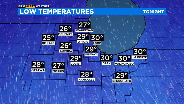
CHICAGO (CBS) -- Northerly winds have spilled in colder air, allowing for temperatures to dip below freezing areawide Thursday night.
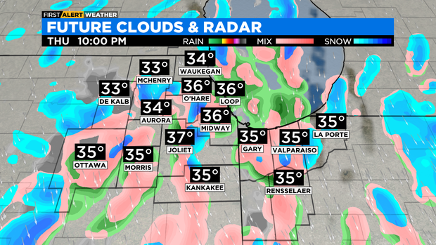
According to CBS 2 Chief Meteorologist Albert Ramon, a mix of rain and wet snow this evening is likely, then scattered snow showers for the overnight. Little to no accumulation is expected.
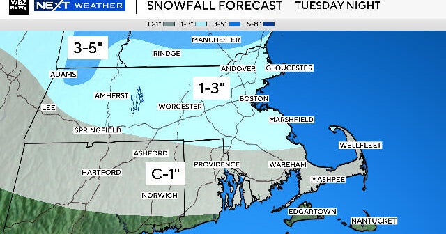
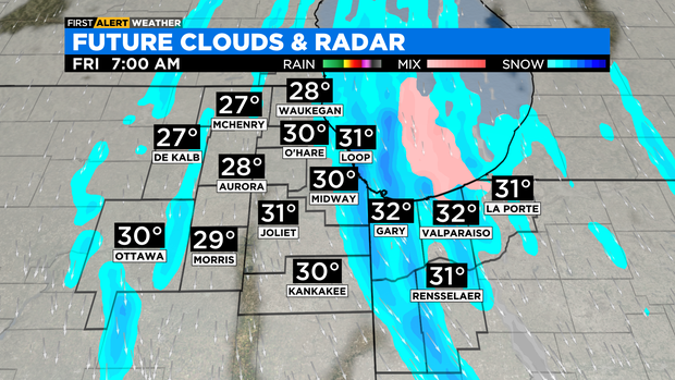
Lake effect snow is in the forecast for Friday morning, but mainly for locations in Northwest Indiana. Snowfall amounts of up to an inch are possible.
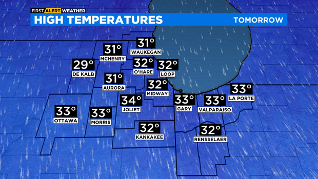
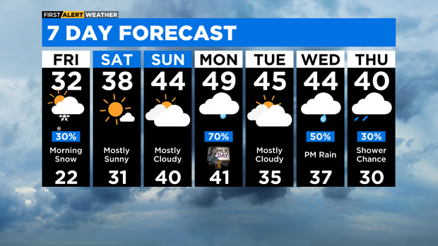
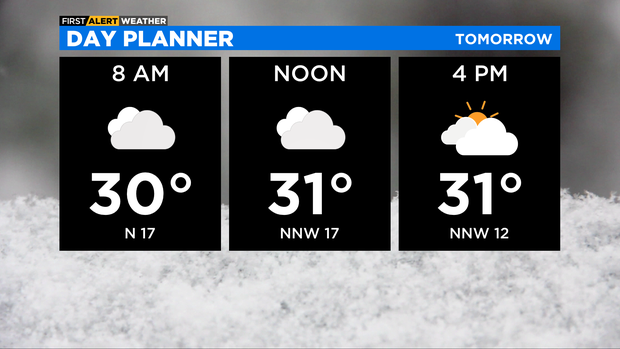
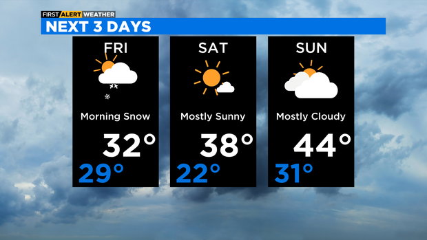
Some snow could hug the lakeshore in Cook County thorough the midday hours on Friday. Otherwise, Friday will be mostly cloudy in the afternoon with highs in the low 30s.
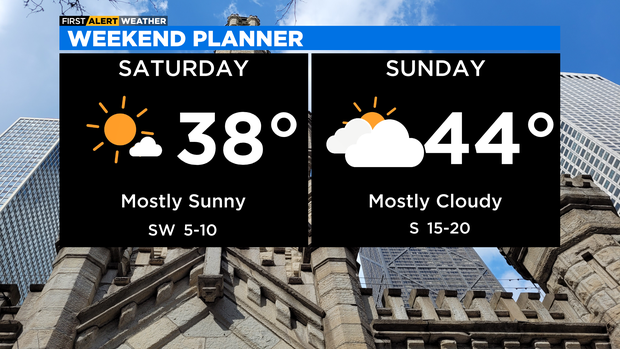
More sunshine for Saturday with highs in the upper 30s to near 40 degrees. More clouds for Sunday with highs in the low to mid 40s.
MLK Jr Day Monday looks to be milder with highs in the upper 40s. Monday will also feature scattered rain throughout much of the day.
Additional rain chances will be with us for the middle for next week.
TONIGHT: A mix of rain and snow this evening, then scattered snow showers overnight. Low 29°
FRIDAY: Morning snow showers, especially in Northwest Indiana. Some snow is possible along the Lakeshore in Cook County as well. Mostly cloudy in the afternoon. High 32°
SATURDAY: Mostly sunny skies. High 38°