Chicago First Alert Weather: second warmest Christmas on record

CHICAGO (CBS) -- With temperatures about 25° above normal on Monday, it was the warmest Christmas in Chicago in more than 40 years.
Monday's high was 59°, five degrees short of the record of the record of 64° set in 1982, making for the second warmest Christmas Day on record in Chicago.
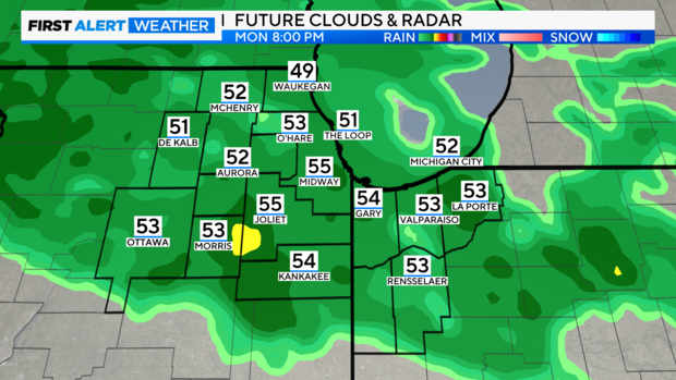
An area of low pressure tracking across the Midwest will bring a rainy and breezy Christmas Day afternoon and evening across northeast Illinois and northwest Indiana.
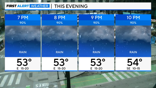
Temperatures will be very mild, with highs in the lower to middle 50s.
Strong southeast winds will develop as the storm approaches from the south. Gusts will peak in the 25 to 30 mph range this afternoon and evening before easing overnight as a cold front pushes through.
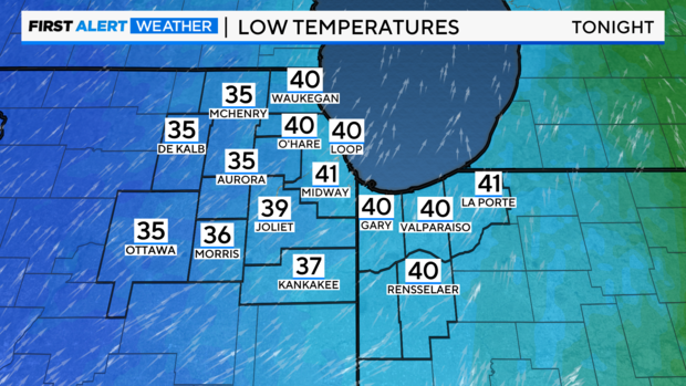
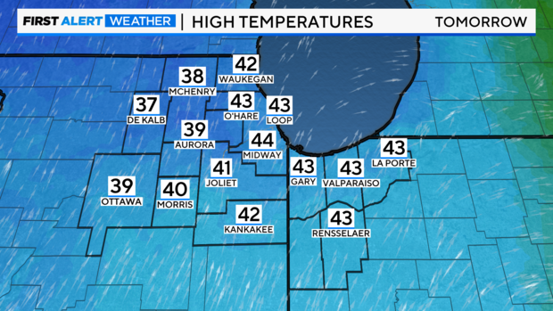
Steady rain will develop from the south by midday and overspread the entire area through the afternoon and evening. A period of heavier rain is expected during the late afternoon into the evening when the core of the storm moves overhead. Rain will taper off overnight behind the cold front. Skies remain cloudy on Tuesday with highs only in the upper 30s and lower 40s.
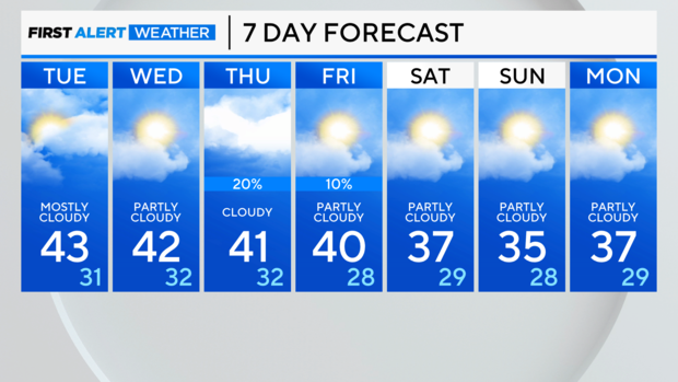
Tonight: Cloudy with rain tapering off in the overnight. Low: low 40s.
Tuesday: Cloudy. Highs: Mid 40s.
Wednesday: Partly sunny. Highs: Low 40s.