Chicago First Alert Weather: Rainy skies
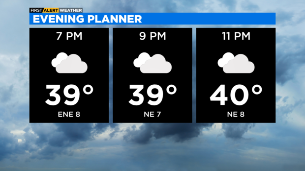
CHICAGO (CBS) -- Plan on a cloudy and foggy evening with temperatures near 40 degrees.
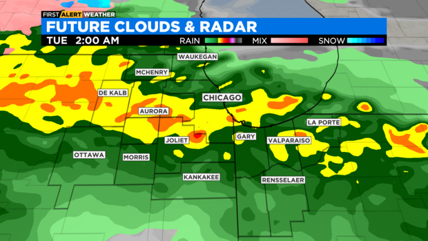
According to CBS 2 Chief Meteorologist Albert Ramon, a warm front will usher in milder air and moisture overnight. Expect widespread rain after midnight through the predawn hours of Tuesday.
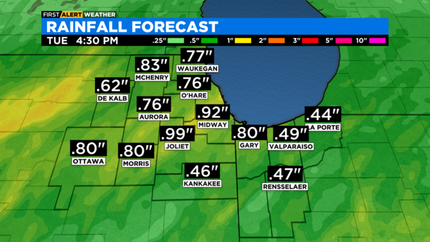
Some heavier downpours and rumbles of thunder will be possible. Rainfall amounts will range from a half inch to as much as an inch.
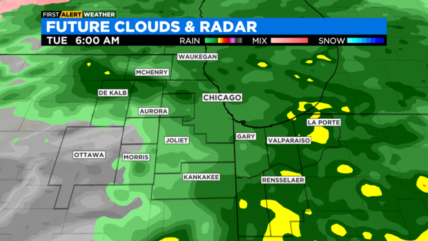
Scattered rain chance linger into Tuesday, especially during the morning hours. The same front that will increase rain chances tonight, will create a huge temperature difference across the area tomorrow.
Temperatures in the afternoon will range from low 40s along the Northshore and northern suburbs, to low 60s down south in Kankakee. Temperatures in Chicago will range from 40s on the North Side to 50s on the South Side.
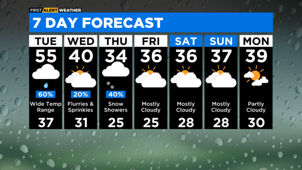
Colder air moves in Tuesday night, setting us up for Wednesday to be spent in the 30s for much of the day.
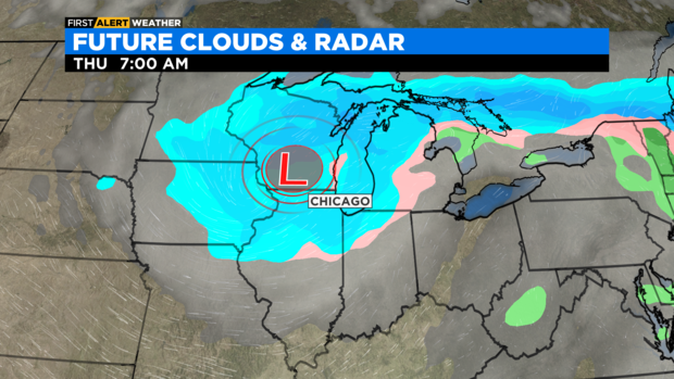
Snow chances arrive Thursday, as an area of low pressure passes over the region. A dusting to as much as an inch of accumulation will be possible.
Highs will be in the 30s Thursday through the weekend.
TONIGHT: Cloudy skies and areas of fog. A 100% chance of rain after midnight. Some downpours and thunder will be possible. Low 42°
TUESDAY: Mostly cloudy with showers, especially in the morning. Temperatures will range from low 40s along the Northshore, to low 60s down south in Kankakee. Temperatures in Chicago will range from 40s in the northside to 50s in the southside. High 55°
WEDNESDAY: A slight chance for sprinkles and flurries. High 40°

